
Search
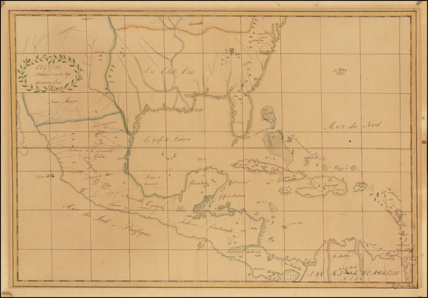
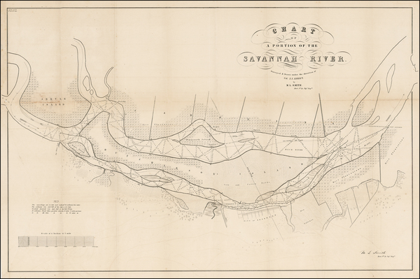
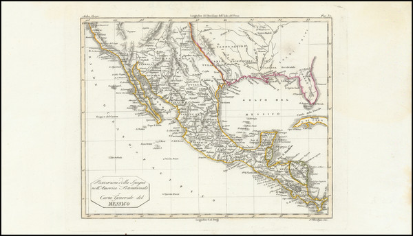
Place/Date:
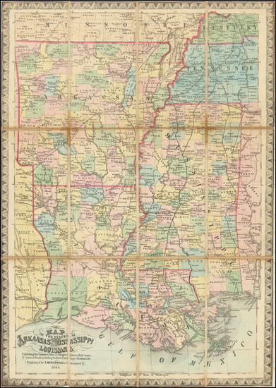
n.p. / 1817
Size:
23.5 x 16 inches
Condition:
VG
Stock#:
91580
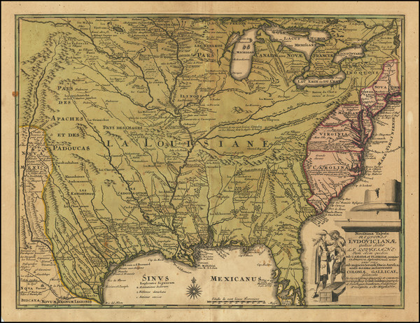
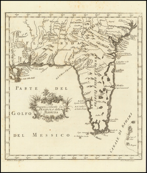
Place/Date:
Amsterdam / 1770
Size:
12 x 8 inches
Condition:
Good
Stock#:
100968
Krevelt's 1770 rare map showing the South.
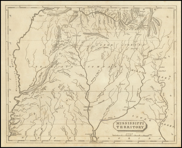
Place/Date:
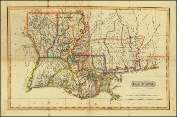
Philadelphia / 1804
Size:
9.5 x 8 inches
Condition:
VG
Stock#:
82149
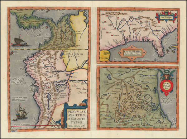
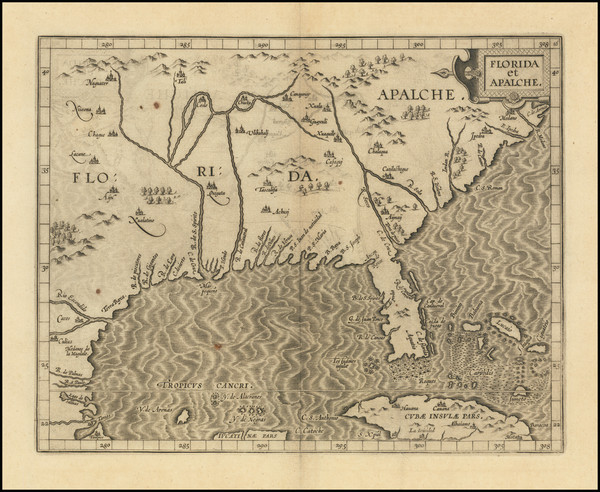
Place/Date:
Antwerp / 1584
Size:
18 x 13 inches
Condition:
VG+
Stock#:
89451
Place/Date:
Paris / 1683
Size:
4 x 6.5 inches
Condition:
VG+
Stock#:
96388
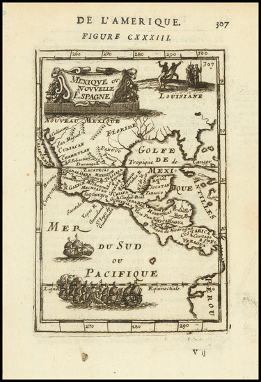
Antique map showing the South by Mallet, 1683.
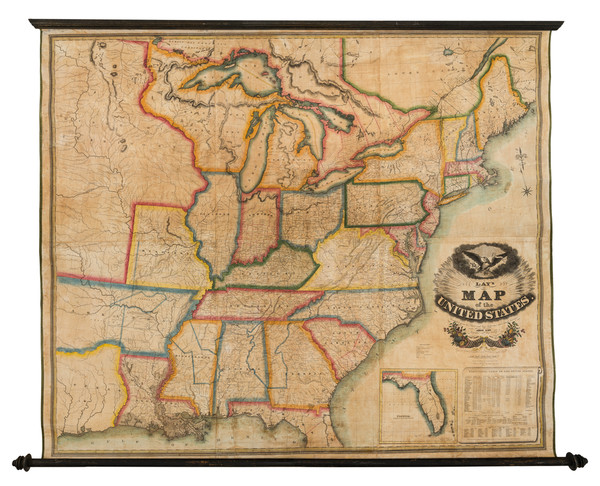
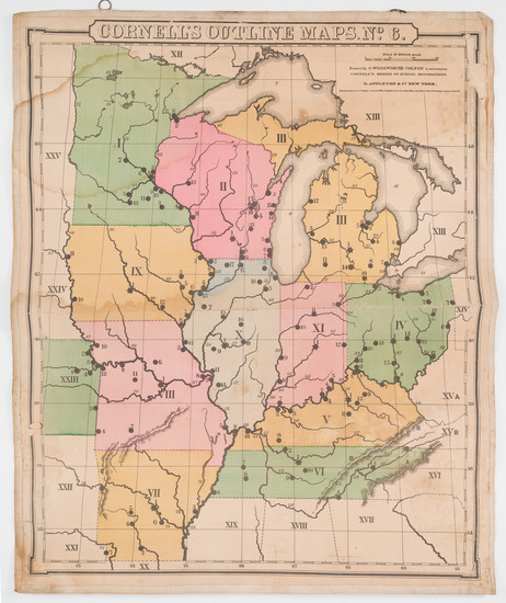
Place/Date:
New York / 1827
Size:
60 x 51 inches
Condition:
VG
Stock#:
82891
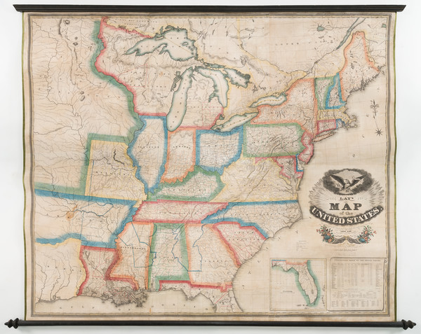
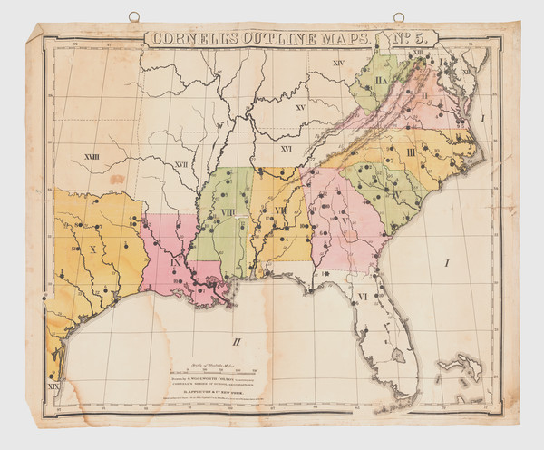
Place/Date:
New York / 1827
Size:
60 x 51 inches
Condition:
Good
Stock#:
93914
Place/Date:
Alabama, Kentucky and Tennessee / 1840
Size:
4 x 5.75 inches
Condition:
VG
Stock#:
93034
Place/Date:
Amsterdam / 1720 circa
Size:
9 x 6 inches
Condition:
VG+
Stock#:
104266
Place/Date:
Amsterdam / 1720
Size:
11.5 x 13 inches Including Text
Condition:
Stock#:
104296
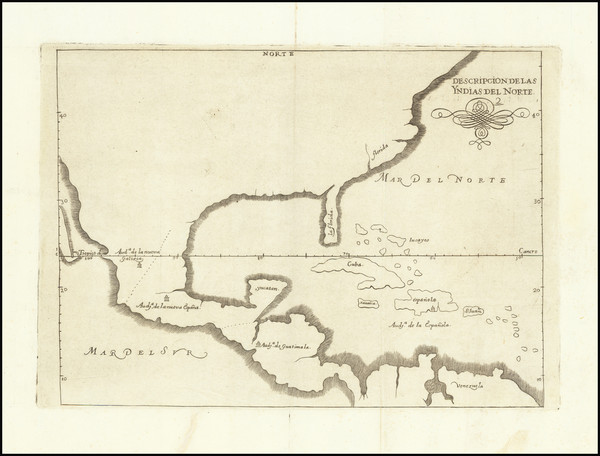
Place/Date:
Madrid / 1601 (1726)
Size:
11 x 8 inches
Condition:
VG+
Stock#:
66722
Spanish North America
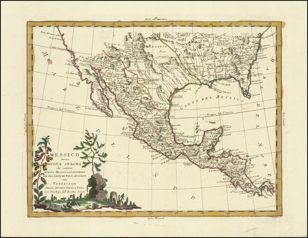
Messico ouvero Nuova Spagna che contiene Il Nuovo Messico La California Con Parte De'Paesi Adjacenti
Place/Date:
Venice / 1785
Size:
16 x 12 inches
Condition:
VG
Stock#:
91383
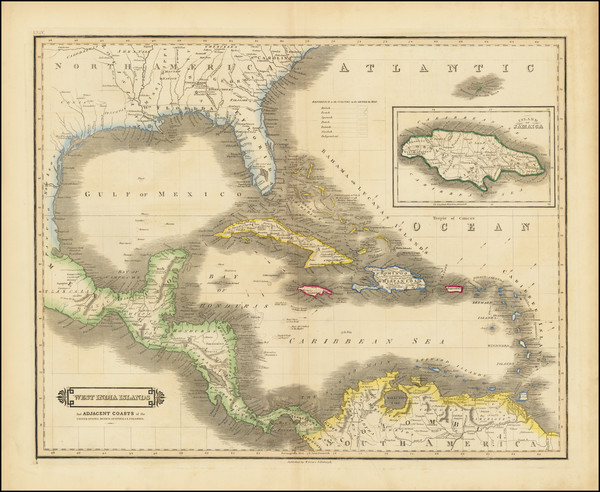
Place/Date:
Edinburgh / 1854
Size:
20 x 16 inches
Condition:
VG
Stock#:
102969
Place/Date:
Amsterdam / 1675 (1680)
Size:
21 x 16 inches
Condition:
VG+
Stock#:
65741
Antique Map of the Gulf Coast / Florida / Texas Coast
Place/Date:
Edinburgh / 1875 circa
Size:
14 x 20 inches
Condition:
VG+
Stock#:
78671
Place/Date:
London / 1760
Size:
8.5 x 7.5 inches
Condition:
VG
Stock#:
68964
Place/Date:
Washington / 1849
Size:
31.5 x 21 inches
Condition:
VG
Stock#:
33714
Original map showing the South by Graham, 1849.
Place/Date:
Nuremberg / 1718
Size:
16.5 x 12.5 inches
Condition:
VG
Stock#:
72622
Place/Date:
Louvain / 1597
Size:
11.5 x 9 inches
Condition:
VG+
Stock#:
72247
1597 rare Wytfliet map showing the South.
Place/Date:
Edinburgh / 1838
Size:
19.5 x 15.5 inches
Condition:
VG
Stock#:
93961
Place/Date:
Paris / 1807
Size:
34.5 x 23 inches
Condition:
VG
Stock#:
62213
Place/Date:
Paris / 1800
Size:
36 x 23.5 inches
Condition:
VG
Stock#:
64165
Place/Date:
Madrid / 1799
Size:
37 x 24 inches
Condition:
VG
Stock#:
41973
Original map showing the South by Direccion Hidrografica de Madrid, 1799.
Place/Date:
New York / 1856
Size:
25 x 76 inches (if joined)
Condition:
Good
Stock#:
89497
Place/Date:
Cincinnati / 1862
Size:
17.5 x 25 inches
Condition:
VG
Stock#:
67264
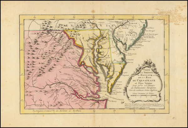
Place/Date:
Baltimore / 1817
Size:
16.75 x 10.75 inches
Condition:
VG
Stock#:
80150
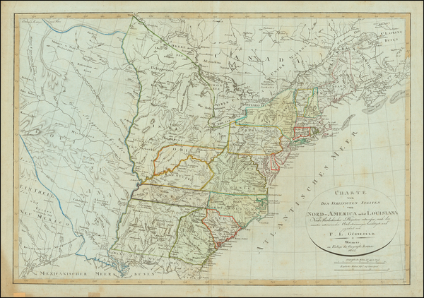
Place/Date:
Weimar / 1817
Size:
27 x 19 inches
Condition:
VG+
Stock#:
59153
Rare map showing the South by Gussefeld made in 1817.
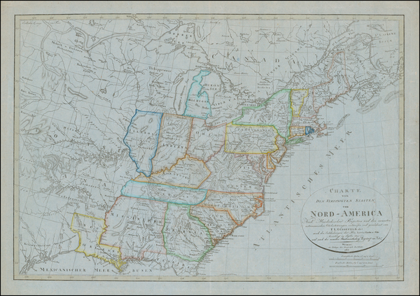
Place/Date:
Weimar / 1805
Size:
27 x 19 inches
Condition:
VG
Stock#:
63496
Place/Date:
Milan / 1807
Size:
10 x 8 inches
Condition:
VG+
Stock#:
95132

Place/Date:
New York / 1875
Size:
39 x 24 inches
Condition:
Good
Stock#:
80633
Place/Date:
New York / 1859
Size:
30 x 20.5 inches
Condition:
Good
Stock#:
85964
Place/Date:
New York / 1859
Size:
30 x 20.5 inches
Condition:
Good
Stock#:
85965
Place/Date:
Livorno / 1763
Size:
9 x 8.5 inches
Condition:
VG+
Stock#:
101460
Place/Date:
Paris / 1787 circa
Size:
19.5 x 24.5 inches
Condition:
VG
Stock#:
90955
Place/Date:
Liverpool / 1851
Size:
24.5 x 21 inches
Condition:
VG+
Stock#:
69374
Place/Date:
Washington / 1804 (1904)
Size:
37 x 8 inches
Condition:
VG+
Stock#:
89337
Place/Date:
Paris / 1826
Size:
24 x 16 inches
Condition:
VG+
Stock#:
78960
Place/Date:
Amsterdam / 1695
Size:
23 x 20.5 inches
Condition:
VG+
Stock#:
93130
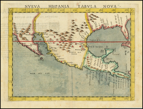
Place/Date:
Venice / 1548
Size:
7 x 5.5 inches
Condition:
VG
Stock#:
87025
Place/Date:
Venice / 1740
Size:
17 x 13 inches
Condition:
VG+
Stock#:
84142
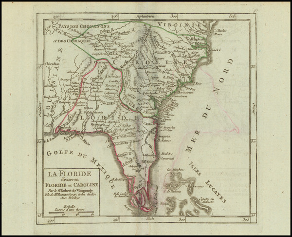
Place/Date:
Paris / 1749
Size:
6.5 x 8.5 inches
Condition:
VG+
Stock#:
73364
Place/Date:
Paris / 1749
Size:
7 x 6.5 inches
Condition:
VG
Stock#:
97356
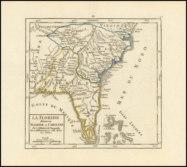
Place/Date:
Paris / 1749
Size:
7 x 6.5 inches
Condition:
VG+
Stock#:
99892
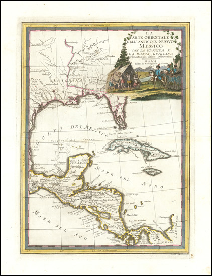
Place/Date:
Rome / 1798
Size:
14 x 19 inches
Condition:
VG+
Stock#:
95815
Place/Date:
Venice / 1561 (1574)
Size:
10 x 7.5 inches
Condition:
VG
Stock#:
80919
Place/Date:
Paris / 1703
Size:
25.5 x 19 inches
Condition:
VG+
Stock#:
47103
De L'Isle's 1703 antique map showing the South.
Place/Date:
Paris / 1718
Size:
25.5 x 19 inches
Condition:
VG+
Stock#:
59797
1718 rare De L'Isle map showing the South.
Place/Date:
Amsterdam / 1719
Size:
19 x 16.5 inches
Condition:
VG+
Stock#:
81980
Antique map showing the South by Chatelain, 1719.

Place/Date:
Amsterdam / 1719
Size:
20 x 16 inches
Condition:
VG+
Stock#:
86363
Place/Date:
Paris / 1787
Size:
15.5 x 11.5 inches
Condition:
VG
Stock#:
102603