
Search
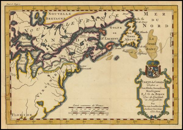
Place/Date:
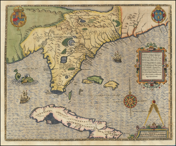
Frankfurt / 1591
Size:
18 x 14.5 inches
Condition:
VG
Stock#:
80172
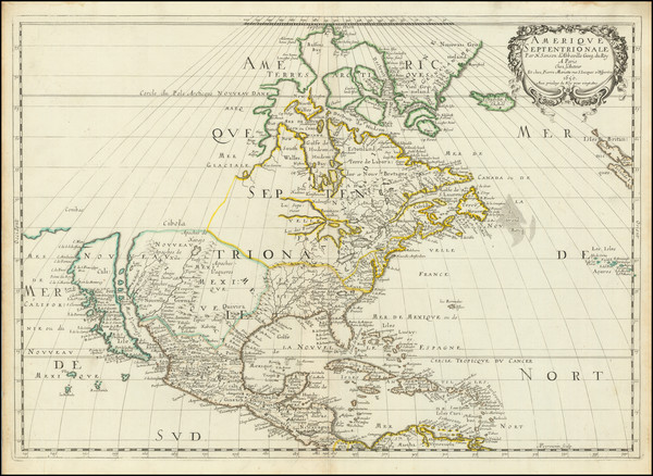
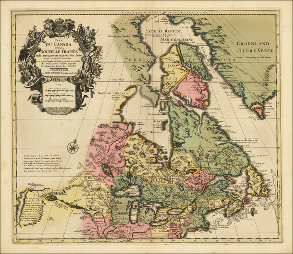
Place/Date:
Paris / 1650
Size:
21.5 x 15.5 inches
Condition:
VG+
Stock#:
102559
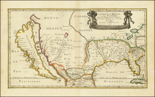
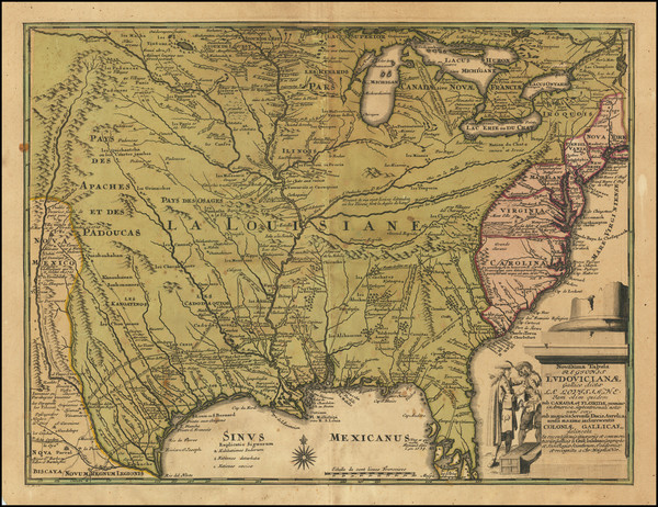
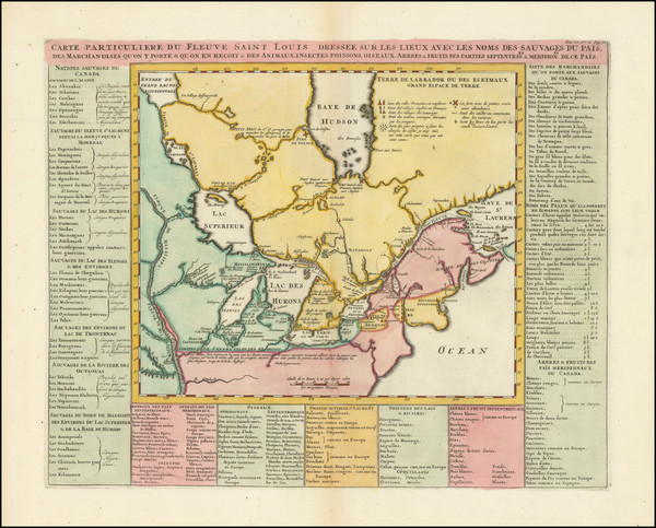
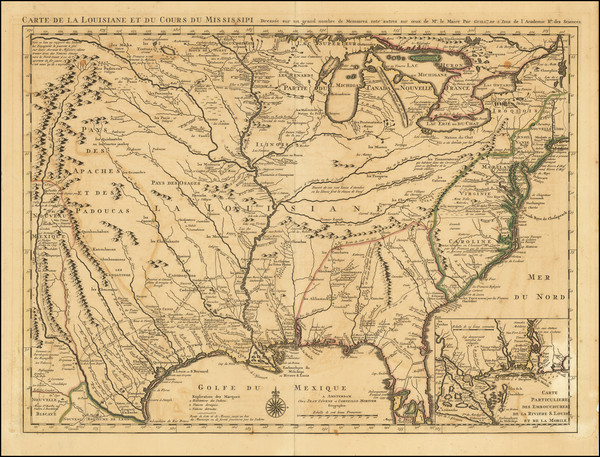
Place/Date:
Paris / 1656
Size:
21.5 x 12.5 inches
Condition:
VG
Stock#:
95763
Original map showing the Midwest by Sanson made in 1656.
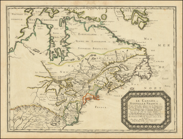
Place/Date:
Paris / 1656
Size:
21 x 15.5 inches
Condition:
VG
Stock#:
99318
Place/Date:
Paris / 1670 circa
Size:
21.5 x 14 inches
Condition:
VG+
Stock#:
67805
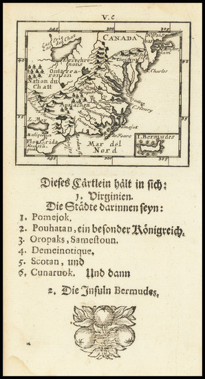
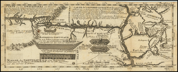
155
Place/Date:
Frankfurt / 1679
Size:
12 x 8.25 inches
Condition:
VG
Stock#:
97902
Place/Date:
Paris ? / 1682 (1900 circa?)
Size:
15.5 x 6.5 inches
Condition:
VG
Stock#:
93571
Place/Date:
Venice / 1691
Size:
17 x 10 inches
Condition:
VG+
Stock#:
98656
Place/Date:
Frankfurt / 1692
Size:
3 x 2.5 inches
Condition:
VG
Stock#:
71479
Place/Date:
Amsterdam / 1696
Size:
22.5 x 34.5 inches
Condition:
VG
Stock#:
99328
Place/Date:
Leiden / 1698 (1704)
Size:
21 x 17 inches
Condition:
VG
Stock#:
91176
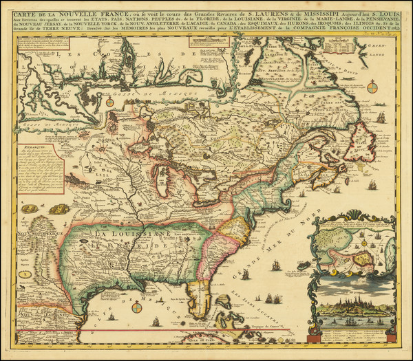
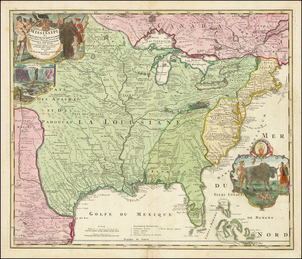
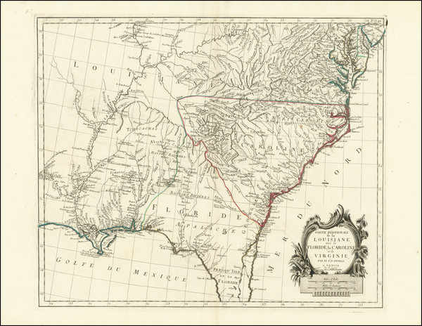
Place/Date:
Paris / 1703
Size:
25.5 x 19 inches
Condition:
VG+
Stock#:
47103
De L'Isle's 1703 antique map showing the Midwest.
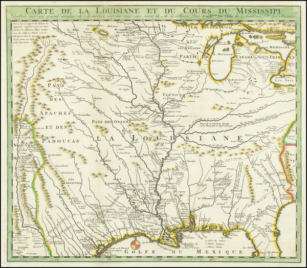
Place/Date:
Paris / 1703 (1708)
Size:
25.5 x 20 inches
Condition:
Good
Stock#:
92808
1703 antique De L'Isle map showing the Midwest.
Place/Date:
Paris / 1703
Size:
12 x 9 inches
Condition:
VG
Stock#:
95884
Place/Date:
Paris / 1703
Size:
26.5 x 11 inches
Condition:
VG+
Stock#:
99919
Place/Date:
Paris / 1705
Size:
13 x 8.5 inches
Condition:
VG+
Stock#:
90921
Place/Date:
Leiden / 1714
Size:
12 x 9 inches
Condition:
VG+
Stock#:
84832
Place/Date:
Paris / 1715
Size:
25 x 18 inches
Condition:
VG
Stock#:
59953
Antique map showing the Midwest by de Fer, 1715.
Place/Date:
Paris / 1718
Size:
25.5 x 19 inches
Condition:
VG+
Stock#:
59797
1718 rare De L'Isle map showing the Midwest.
Place/Date:
Paris / 1718
Size:
25 x 18.5 inches
Condition:
VG+
Stock#:
61193
1718 Antique Map of the Mississippi River Valley During French Colonial Era
Place/Date:
Nuremberg / 1718
Size:
16.5 x 12.5 inches
Condition:
VG
Stock#:
72622
Place/Date:
Amsterdam / 1719
Size:
19 x 16.5 inches
Condition:
VG+
Stock#:
81980
Antique map showing the Midwest by Chatelain, 1719.

Place/Date:
Amsterdam / 1719
Size:
20 x 16 inches
Condition:
VG+
Stock#:
86363
Place/Date:
Amsterdam / 1719
Size:
17 x 14.5 inches
Condition:
VG+
Stock#:
93146
Place/Date:
Paris / 1719
Size:
20.5 x 16 inches
Condition:
VG+
Stock#:
98636
Place/Date:
Amsterdam / 1719
Size:
18 x 14 inches
Condition:
VG
Stock#:
100582
Place/Date:
Nuremberg / 1720
Size:
22.5 x 19 inches
Condition:
VG+
Stock#:
73950
Place/Date:
Amsterdam / 1720
Size:
16 x 14 inches
Condition:
VG
Stock#:
79683
Place/Date:
Amsterdam / 1720
Size:
6 x 7.25 inches
Condition:
VG+
Stock#:
95924
Law's 1720 antique map showing the Midwest.
Place/Date:
Amsterdam / 1730
Size:
23.5 x 17.5 inches
Condition:
VG
Stock#:
75931
Place/Date:
Amsterdam / 1730 circa
Size:
22 x 19 inches
Condition:
VG+
Stock#:
94450
Place/Date:
Paris / 1738
Size:
9 x 6 inches
Condition:
VG+
Stock#:
91075
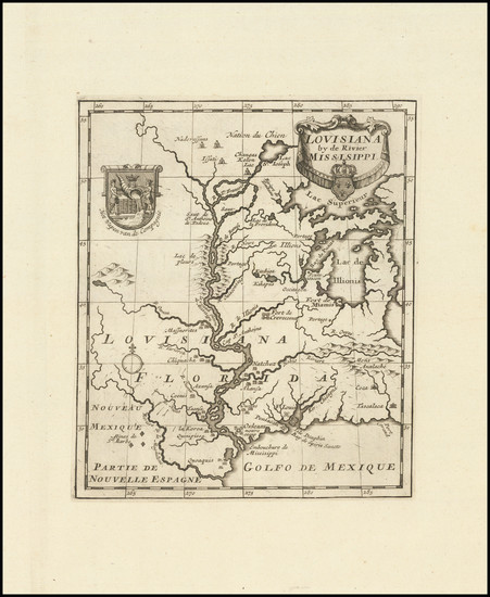
Place/Date:
Paris / 1741
Size:
11.5 x 4.5 inches
Condition:
VG
Stock#:
84108
Lahontan's 1741 antique map showing the Midwest.
Place/Date:
Venice / 1742
Size:
17 x 13 inches
Condition:
VG+
Stock#:
83109
Place/Date:
Paris / 1744
Size:
22 x 15.5 inches
Condition:
VG+
Stock#:
84933
Place/Date:
Paris / 1749
Size:
6.5 x 8.5 inches
Condition:
VG+
Stock#:
73364
Place/Date:
Paris / 1753 (1755)
Size:
26.5 x 19 inches
Condition:
VG+
Stock#:
94454
Place/Date:
London / 1754
Size:
10 x 8 inches
Condition:
VG
Stock#:
90978
Place/Date:
Paris / 1755 circa
Size:
25 x 19 inches
Condition:
VG+
Stock#:
48752
de Vaugondy's 1755 rare map showing the Midwest.
Place/Date:
London / 1755 - 1757
Size:
76 x 53 inches If Joined
Condition:
Good
Stock#:
60574dg
Mitchell's 1755 antique map showing the Midwest.
Place/Date:
Paris / 1755
Size:
24 x 18.5 inches
Condition:
VG+
Stock#:
84872
Place/Date:
Paris / 1756
Size:
13.5 x 11 inches ( Whole Sheet)
Condition:
VG
Stock#:
52293op
Gautier d'Agoty's 1756 antique map showing the Midwest.
Place/Date:
Paris / 1756
Size:
30 x 21.5 inches
Condition:
VG
Stock#:
94026
Place/Date:
Paris / 1757
Size:
12 x 8.5 inches
Condition:
VG+
Stock#:
85928
Place/Date:
London / 1758
Size:
3.75 x 2.5 inches
Condition:
VG+
Stock#:
98228
Place/Date:
London / 1758
Size:
3.75 x 2.5 inches
Condition:
VG+
Stock#:
98229
Place/Date:
London / 1760
Size:
8.5 x 7.5 inches
Condition:
VG
Stock#:
68964
Place/Date:
Amsterdam / 1769
Size:
12 x 9.5 inches Map size
Condition:
VG+
Stock#:
94836
Place/Date:
London / 1775
Size:
13.5 x 49 inches
Condition:
VG
Stock#:
89061
Place/Date:
Venice / 1776
Size:
22 x 18 inches
Condition:
VG+
Stock#:
103018