
Search
Rare and antique maps of the French region of Bretagne.
Place/Date:
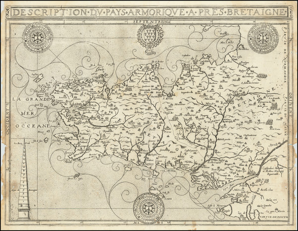
Tours / 1594
Size:
18.5 x 14 inches
Condition:
Good
Stock#:
78316
Place/Date:
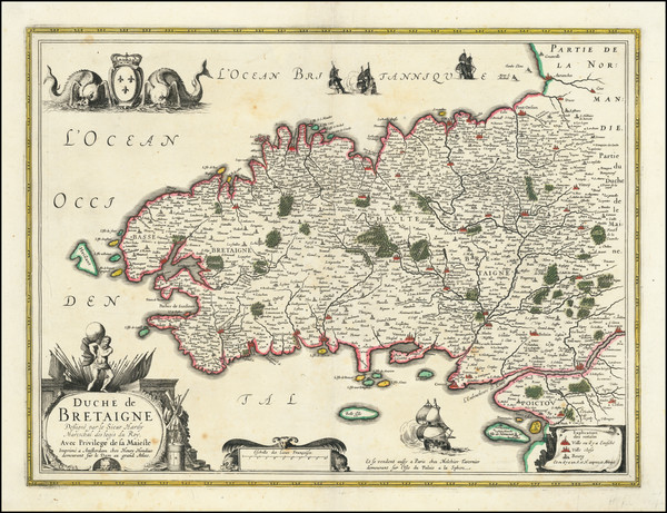
Amsterdam / 1630
Size:
20 x 15 inches
Condition:
VG
Stock#:
70268
Place/Date:
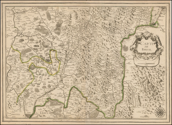
/ 1644
Size:
14 x 10 inches
Condition:
VG
Stock#:
75599
Place/Date:
Paris / 1650 circa
Size:
20 x 15 inches
Condition:
VG
Stock#:
48582
Original map showing Bretagne by Langlois made in 1650.

Place/Date:
Venice / 1690 circa
Size:
18 x 24 inches
Condition:
VG
Stock#:
67810
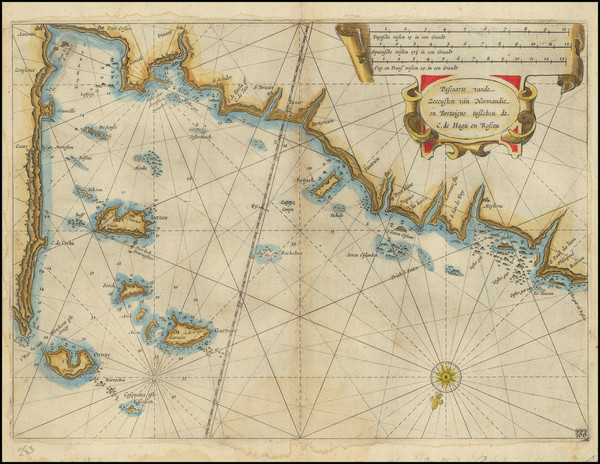
Antique Sea Chart of the Bretagne Coast
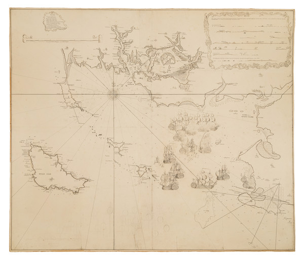
Place/Date:
Shipboard / Quiberon Bay / 1760 (January 2, 1760)
Size:
48 x 41 inches
Condition:
VG
Stock#:
103273
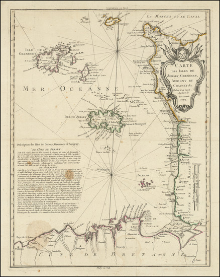
Place/Date:
n.p. (Paris?) / 1779
Size:
16.5 x 21 inches
Condition:
VG
Stock#:
103393

Place/Date:
London / 1800
Size:
6.5 x 5 inches
Condition:
VG+
Stock#:
76776