
Search
Rare and antique maps of the French region of Normandie.
1649 original Boisseau map showing Normandie.
Place/Date:
Paris / 1689
Size:
22 x 17 inches
Condition:
VG+
Stock#:
55277
Antique map showing Normandie by Mariette / de la Pointe made in 1689.
Place/Date:
Paris / 1700 circa
Size:
33 x 21.5 inches
Condition:
VG
Stock#:
57024
Antique map showing Normandie by Jaillot made in 1700.

Place/Date:
London / 1759
Size:
11.5 x 7 inches
Condition:
VG
Stock#:
63825
Place/Date:
Paris / 1764
Size:
14.5 x 8.7 inches
Condition:
VG
Stock#:
71967

Place/Date:
Paris / 1764
Size:
13 x 8.5 inches
Condition:
VG+
Stock#:
72211
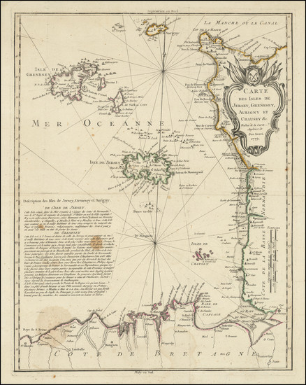
Place/Date:
n.p. (Paris?) / 1779
Size:
16.5 x 21 inches
Condition:
VG
Stock#:
103393
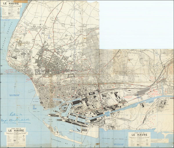
Place/Date:
n.p. / 1944
Size:
41 x 35.5 inches
Condition:
See Description
Stock#:
79447
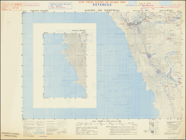
Place/Date:
n.p. / 1944 May
Size:
27 x 20 inches Including Text
Condition:
VG
Stock#:
93935