
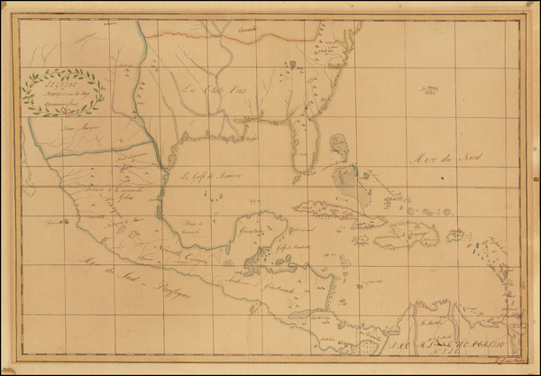
Search
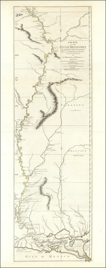
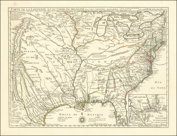
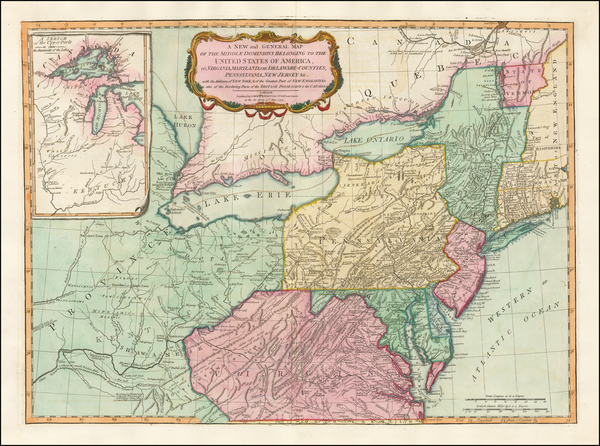
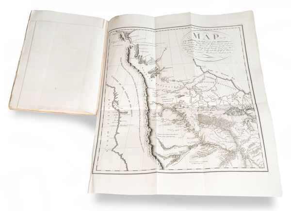
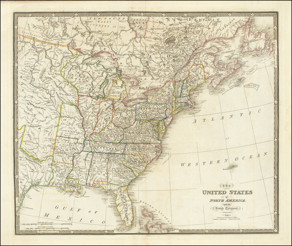
Place/Date:
London / 1775
Size:
13.5 x 49 inches
Condition:
VG
Stock#:
89061
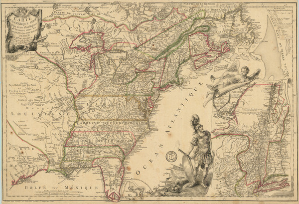
Place/Date:
Venice / 1776
Size:
22 x 18 inches
Condition:
VG+
Stock#:
103018
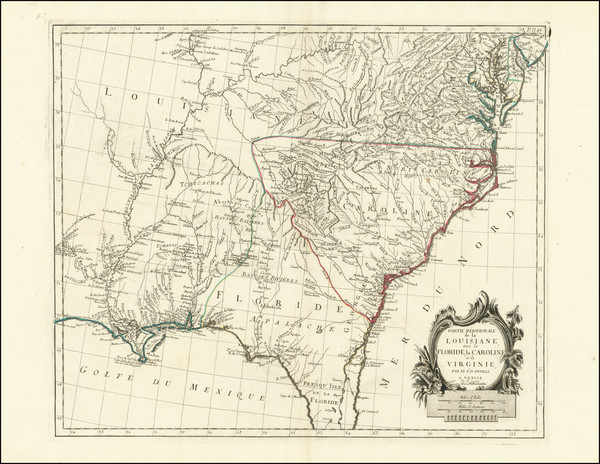
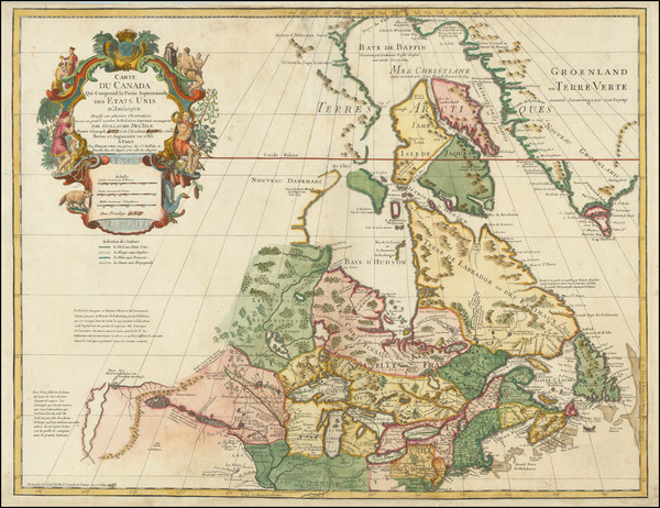
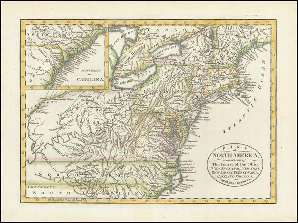
Place/Date:
Paris / 1777
Size:
24.5 x 17 inches
Condition:
VG
Stock#:
95721
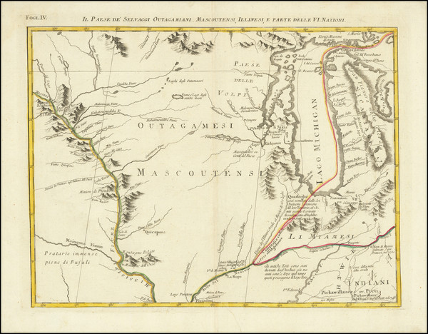
Place/Date:
Venice / 1778
Size:
16.5 x 13 inches
Condition:
VG
Stock#:
75927
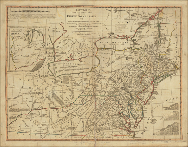
Place/Date:
Paris / 1782
Size:
25.5 x 19.5 inches
Condition:
VG
Stock#:
73656
Place/Date:
Paris / 1783
Size:
25.5 x 20 inches
Condition:
VG
Stock#:
88103
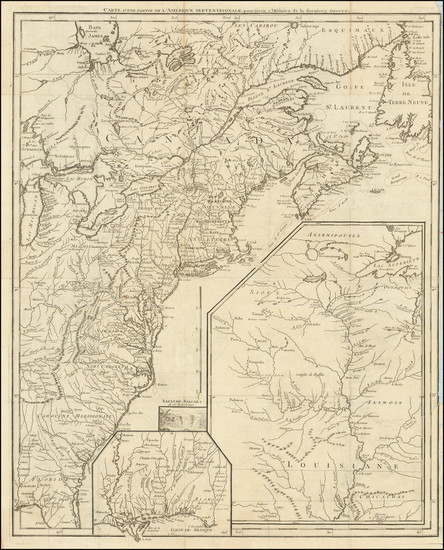
Place/Date:
Paris / 1787 circa
Size:
19.5 x 24.5 inches
Condition:
VG
Stock#:
90955
Place/Date:
Paris / 1787
Size:
12.5 x 8.5 inches
Condition:
VG
Stock#:
98377
Place/Date:
Paris / 1787
Size:
8.5 x 13 inches
Condition:
VG
Stock#:
98616
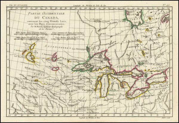
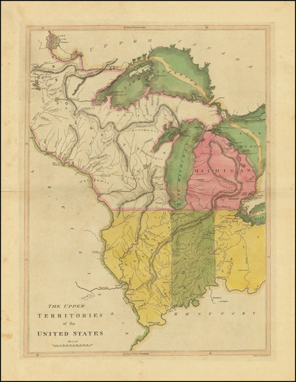
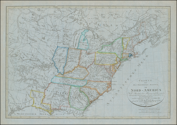
Place/Date:
Berlin / 1791
Size:
25 x 19 inches
Condition:
VG
Stock#:
41816dm
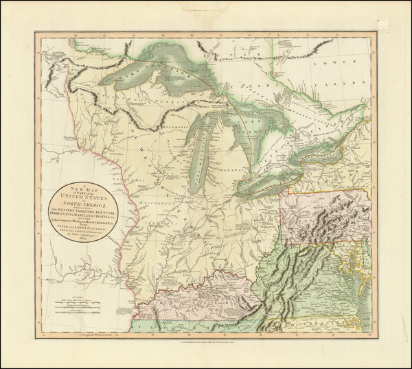
Forster's 1791 antique map showing the Midwest.
Place/Date:
London / 1792
Size:
15.5 x 12.5 inches
Condition:
VG
Stock#:
99856
Place/Date:
London / 1794
Size:
18 x 12 inches
Condition:
VG
Stock#:
47362
Conder's 1794 rare map showing the Midwest.
Place/Date:
London / 1794
Size:
26 x 19.5 inches
Condition:
VG
Stock#:
49212
Laurie & Whittle's 1794 original map showing the Midwest.
Place/Date:
London / 1795
Size:
12 x 8.5 inches
Condition:
VG+
Stock#:
89227
Place/Date:
London / 1796 circa
Size:
25 x 19 inches
Condition:
VG
Stock#:
50850
Antique map showing the Midwest by Bowles & Evans made in 1796.
Place/Date:
Philadelphia / 1796 (1814)
Size:
13.5 x 24 inches
Condition:
VG+
Stock#:
82394
Place/Date:
Leiden / 1796
Size:
5.25 x 8 inches
Condition:
VG
Stock#:
86685
Place/Date:
London / 1796
Size:
25 x 21 inches
Condition:
VG
Stock#:
102173
Place/Date:
Weimar / 1805
Size:
27 x 19 inches
Condition:
VG
Stock#:
63496
Place/Date:
London / 1805
Size:
20.5 x 18 inches
Condition:
VG+
Stock#:
87487
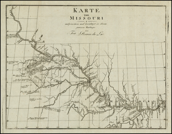
Place/Date:
Leipzig / 1807
Size:
13 x 10 inches
Condition:
VG+
Stock#:
25308
Original map showing the Midwest by Perrin du Lac, 1807.
Place/Date:
Philadelphia / 1812
Size:
28 x 20 inches
Condition:
VG
Stock#:
45659
Antique map showing the Midwest by Pinkerton made in 1812.
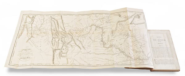
Place/Date:
Sainte Genevieve, Missouri / 1812
Size:
8.5 x 13.5 inches
Condition:
VG
Stock#:
96184
Place/Date:
Philadelphia / 1814
Size:
12.5 x 17 inches
Condition:
VG+
Stock#:
103601
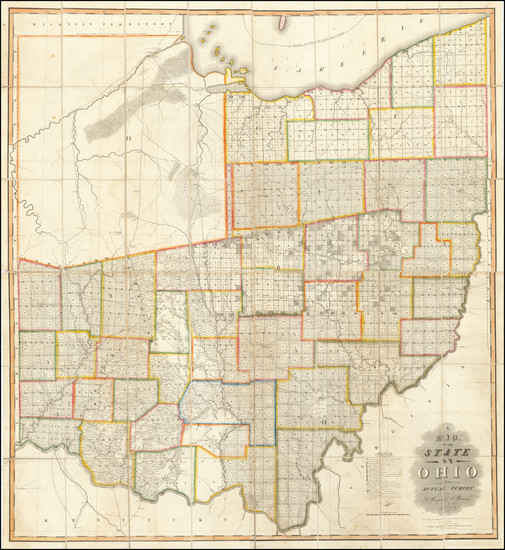
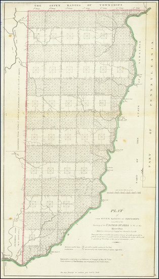
Place/Date:
Chillicothe / 1815
Size:
45 x 49.5 inches
Condition:
VG
Stock#:
67728bm

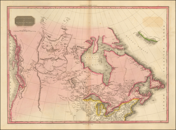
Place/Date:
Edinburgh / 1815
Size:
23.5 x 19 inches
Condition:
VG+
Stock#:
72176
Place/Date:
London / 1815
Size:
27 x 12 inches (map)
Condition:
VG
Stock#:
81775

Place/Date:
Sweden / 1816
Size:
20.5 x 15 inches
Condition:
VG+
Stock#:
64709
Place/Date:
Weimar / 1817
Size:
27 x 19 inches
Condition:
VG+
Stock#:
59153
Rare map showing the Midwest by Gussefeld made in 1817.
Place/Date:
n.p. / 1817
Size:
23.5 x 16 inches
Condition:
VG
Stock#:
91580

Place/Date:
London / 1818
Size:
28 x 20 inches
Condition:
VG
Stock#:
46588
Pinkerton's 1818 original map showing the Midwest.
Place/Date:
Philadelphia / 1819 (1822)
Size:
26 x 20.5 inches
Condition:
VG+
Stock#:
70352

Place/Date:
Philadelphia / 1822
Size:
20.5 x 16.5 inches
Condition:
VG
Stock#:
72692
Place/Date:
Philadelphia / 1823
Size:
23 x 27.5 inches
Condition:
VG
Stock#:
84486
Place/Date:
Weimar / 1825
Size:
17.5 x 16 inches
Condition:
Stock#:
77730
Place/Date:
Brussels / 1825
Size:
20 x 18 inches
Condition:
VG
Stock#:
98409
Place/Date:
Paris / 1826
Size:
10.5 x 14.5 inches
Condition:
VG+
Stock#:
88151
Place/Date:
Philadelphia / 1827
Size:
21 x 16.5 inches
Condition:
VG
Stock#:
73361
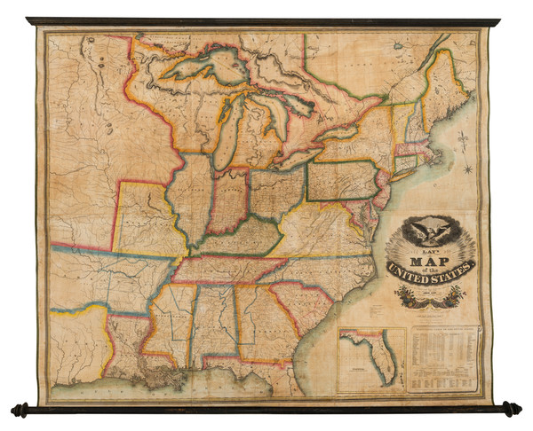
Place/Date:
New York / 1827
Size:
60 x 51 inches
Condition:
VG
Stock#:
82891
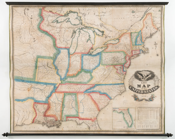
Place/Date:
New York / 1827
Size:
60 x 51 inches
Condition:
Good
Stock#:
93914
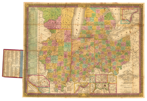
Place/Date:
Philadelphia / 1834
Size:
21.8 x 17.5 inches
Condition:
VG
Stock#:
89955
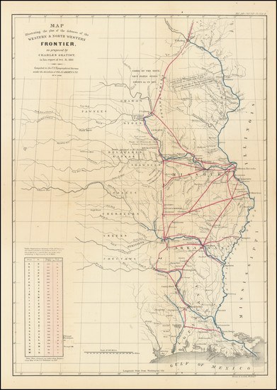
Place/Date:
Washington / 1837
Size:
15 x 21.5 inches
Condition:
VG
Stock#:
102750
Place/Date:
Philadelphia / 1838 circa
Size:
15 x 17.25 inches (sheet size)
Condition:
VG
Stock#:
77698
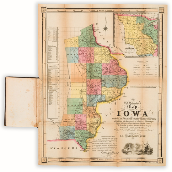
Place/Date:
New York / 1841
Size:
15.5 x 19.5 inches Map
Condition:
Good
Stock#:
101836
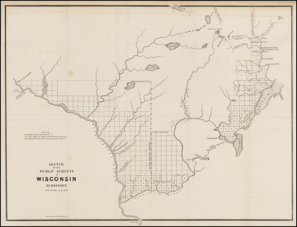
Place/Date:
Washington, D.C. / 1842 circa
Size:
10.5 x 12.5 inches
Condition:
VG+
Stock#:
43144
General Land Office's 1842 original map showing the Midwest.
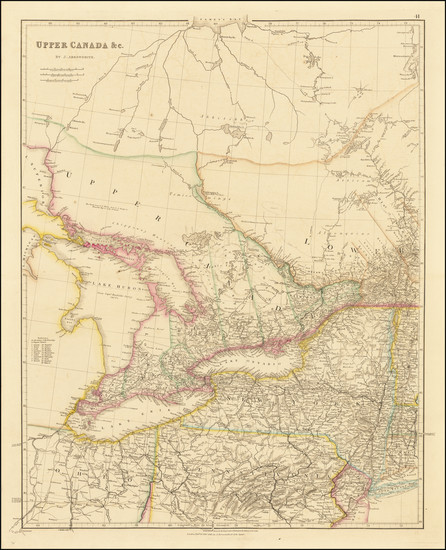
Place/Date:
London / 1842
Size:
19 x 24 inches
Condition:
VG+
Stock#:
66939
Place/Date:
London / 1843
Size:
25 x 21 inches
Condition:
VG+
Stock#:
87488
Place/Date:
Boston / 1846
Size:
12.5 x 14 inches
Condition:
VG
Stock#:
81889
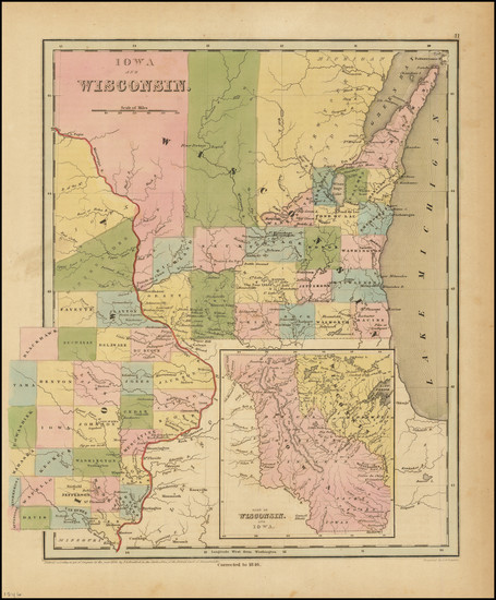
Place/Date:
Mainz / Frankfurt / 1849 (1851)
Size:
17 x 22 inches (map)
Condition:
VG
Stock#:
63002
Place/Date:
Philadelphia / 1851
Size:
16 x 13 inches
Condition:
Good
Stock#:
95431