
Search
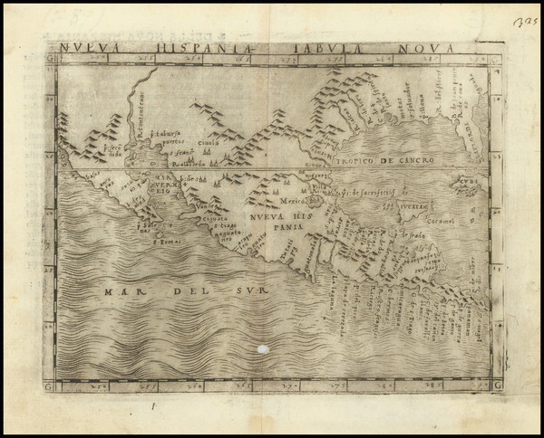
Place/Date:
Venice / 1548
Size:
7 x 5.5 inches
Condition:
VG
Stock#:
87025
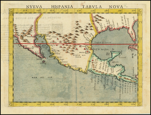
Place/Date:
Venice / 1561 (1574)
Size:
10 x 7.5 inches
Condition:
VG
Stock#:
80919
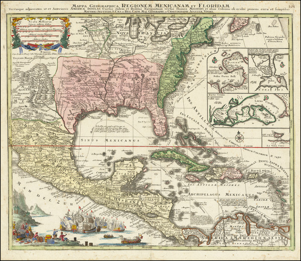
Place/Date:
Frankfurt / 1591
Size:
18 x 14.5 inches
Condition:
VG
Stock#:
80172
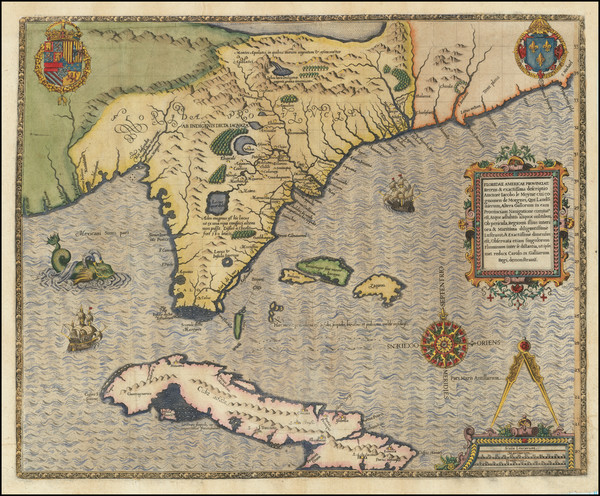
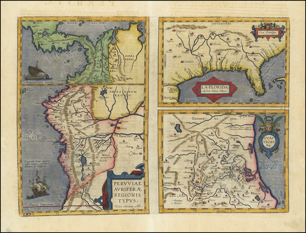
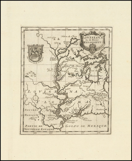
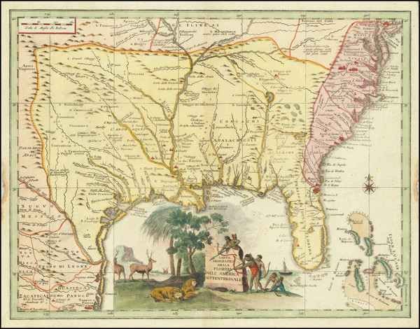
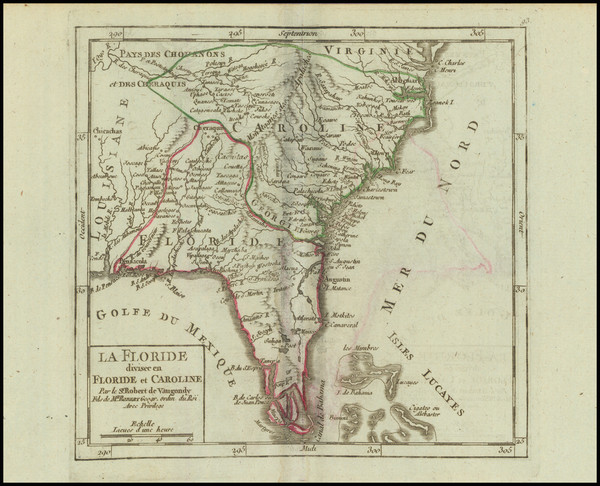
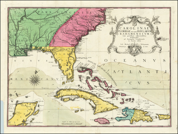
Place/Date:
Louvain / 1597
Size:
11.5 x 9 inches
Condition:
VG+
Stock#:
72247
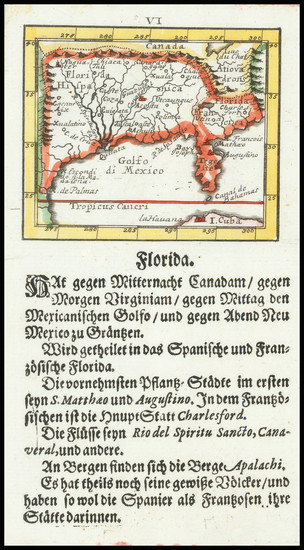
1597 rare Wytfliet map showing the South.
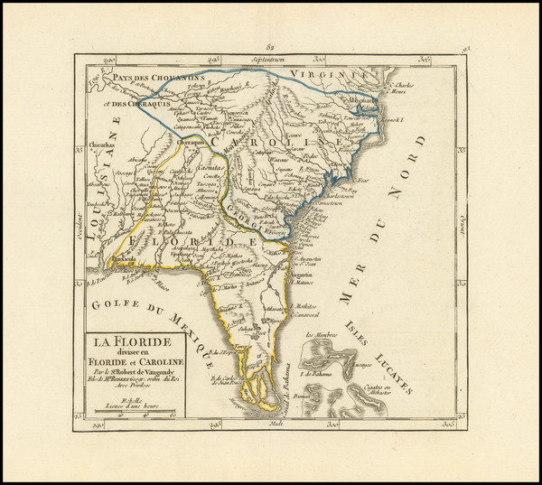
Place/Date:
Antwerp / 1598
Size:
18 x 13 inches
Condition:
VG+
Stock#:
84003
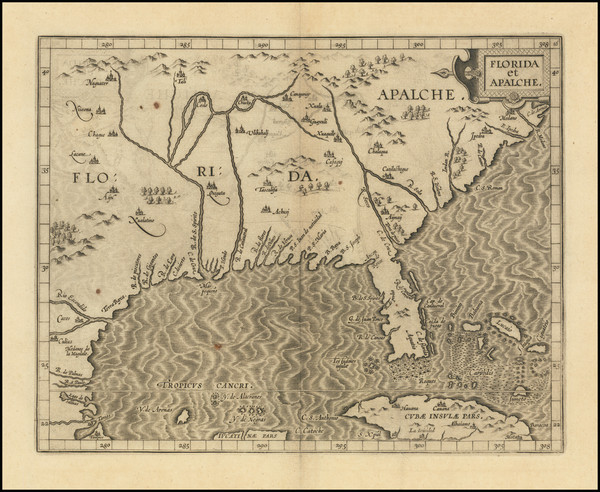
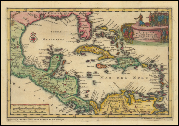
Place/Date:
Madrid / 1601 (1726)
Size:
11 x 8 inches
Condition:
VG+
Stock#:
66722
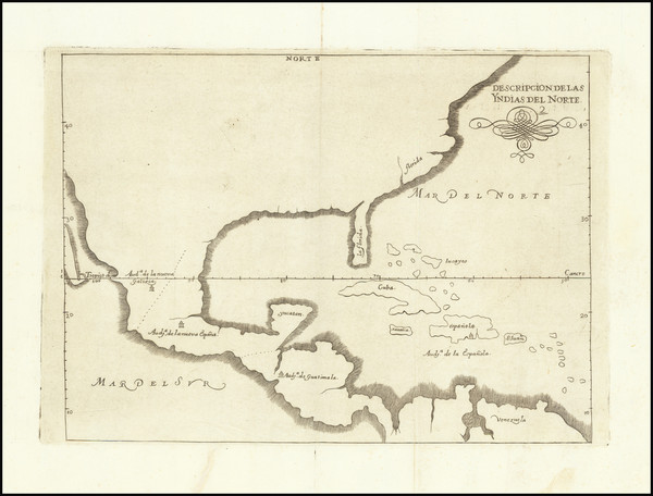
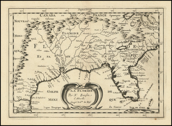
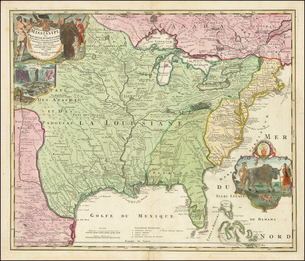
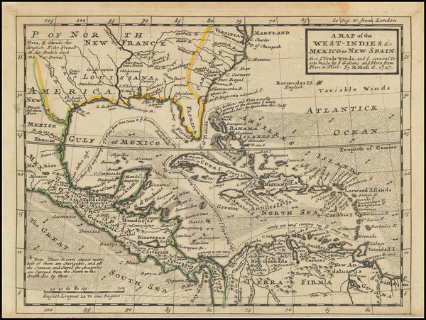
Spanish North America
Place/Date:
Leiden / 1633 circa
Size:
14 x 11 inches
Condition:
VG+
Stock#:
91178
Place/Date:
Paris / 1660 (1672)
Size:
5 x 4 inches
Condition:
VG+
Stock#:
78453
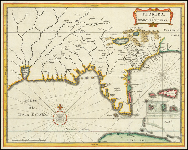
Place/Date:
Amsterdam / 1675 (1680)
Size:
21 x 16 inches
Condition:
VG+
Stock#:
65741
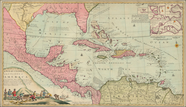
Antique Map of the Gulf Coast / Florida / Texas Coast
Place/Date:
Paris ? / 1682 (1900 circa?)
Size:
15.5 x 6.5 inches
Condition:
VG
Stock#:
93571
Place/Date:
Utrecht / 1682 circa
Size:
10 x 7 inches
Condition:
VG
Stock#:
102735
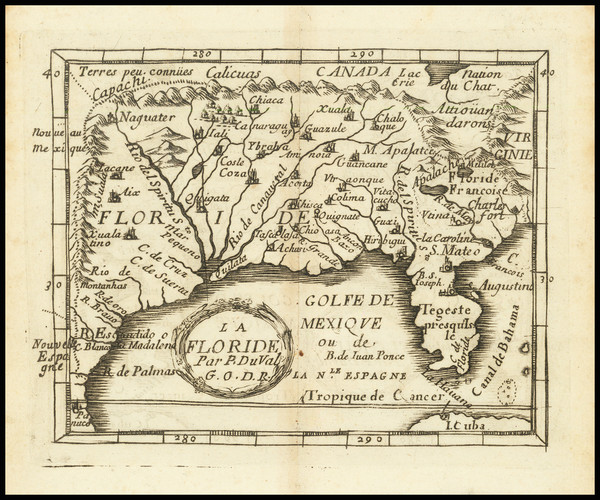
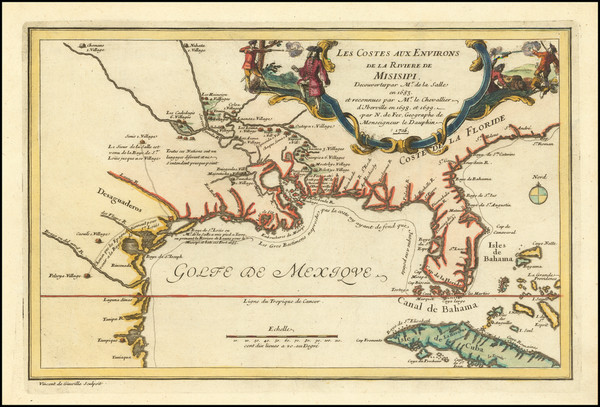
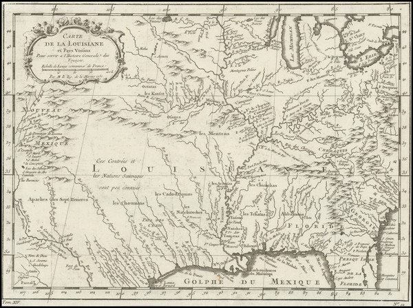
Place/Date:
Paris / 1683
Size:
4 x 6.5 inches
Condition:
VG+
Stock#:
96388
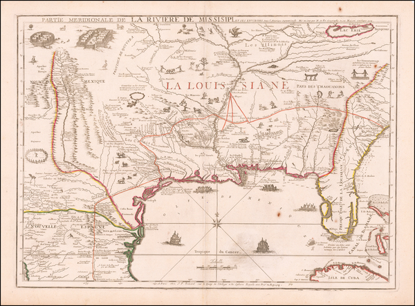
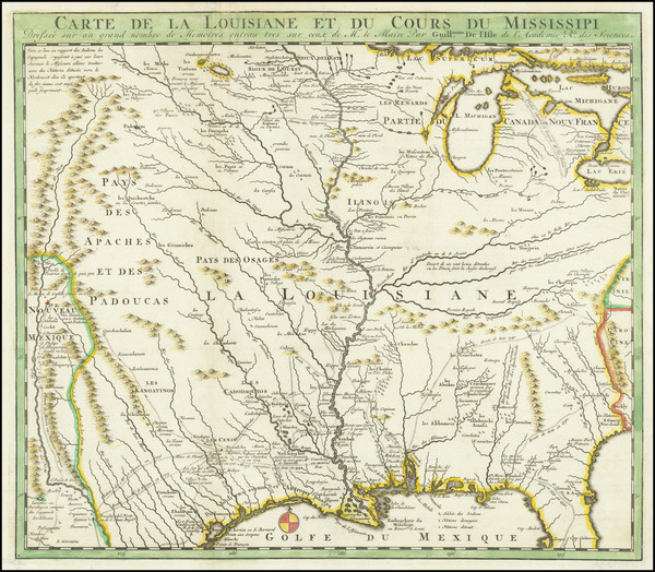
Antique map showing the South by Mallet, 1683.
Place/Date:
Frankfurt / 1692
Size:
3 x 2.5 inches
Condition:
VG
Stock#:
78112

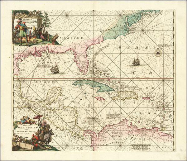
Place/Date:
Amsterdam / 1695 circa
Size:
39 x 32 inches
Condition:
VG
Stock#:
46848
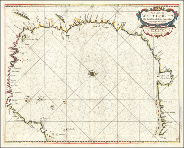
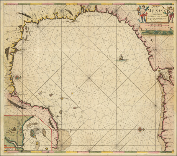
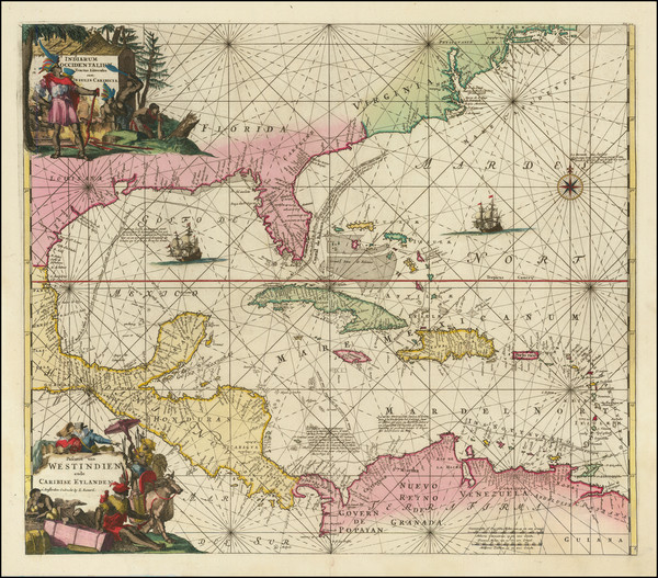
17th Century Dutch Sea Chart on Vellum
Place/Date:
Amsterdam / 1695
Size:
23 x 20.5 inches
Condition:
VG+
Stock#:
93130
Place/Date:
London / 1702
Size:
40 x 23.5 inches
Condition:
VG+
Stock#:
98110
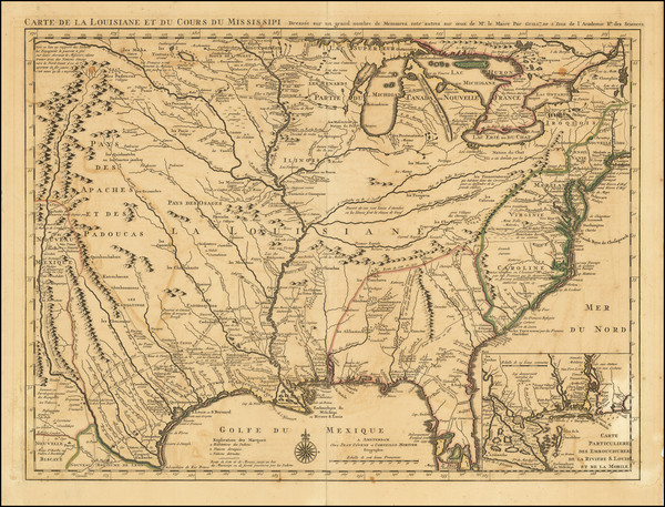
Place/Date:
Paris / 1703
Size:
25.5 x 19 inches
Condition:
VG+
Stock#:
47103
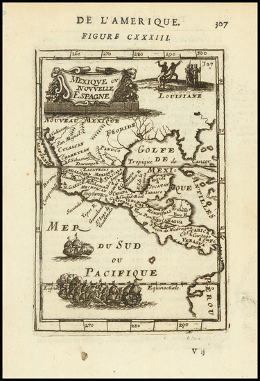
De L'Isle's 1703 antique map showing the South.
Place/Date:
Paris / 1705
Size:
13 x 8.5 inches
Condition:
VG+
Stock#:
90921
Place/Date:
Leiden / 1706
Size:
9 x 6 inches
Condition:
VG
Stock#:
95213

Place/Date:
Amsterdam / 1708
Size:
22 x 18 inches
Condition:
VG
Stock#:
91102
Place/Date:
Amsterdam / 1710
Size:
15 x 10.5 inches
Condition:
VG
Stock#:
99070
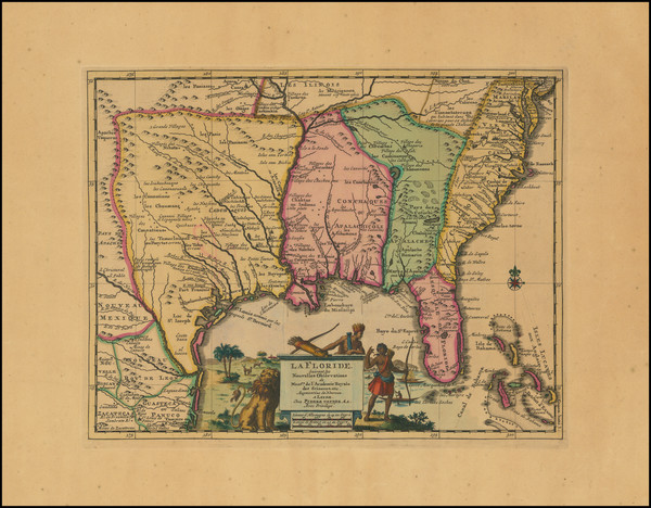
Place/Date:
Paris / 1715
Size:
25 x 18 inches
Condition:
VG
Stock#:
59953
Antique map showing the South by de Fer, 1715.
Place/Date:
Paris / 1717
Size:
23.5 x 18 inches
Condition:
VG
Stock#:
79708
Place/Date:
Paris / 1718
Size:
25.5 x 19 inches
Condition:
VG+
Stock#:
59797
1718 rare De L'Isle map showing the South.
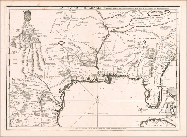
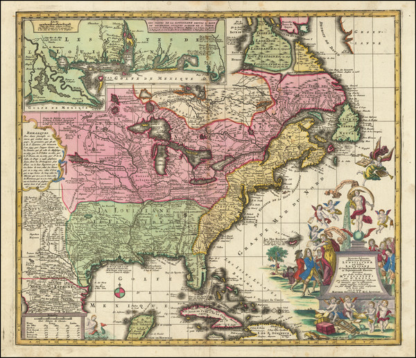
Place/Date:
Paris / 1718
Size:
25 x 18.5 inches
Condition:
VG+
Stock#:
61193
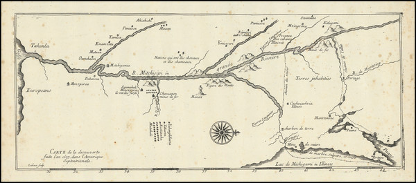
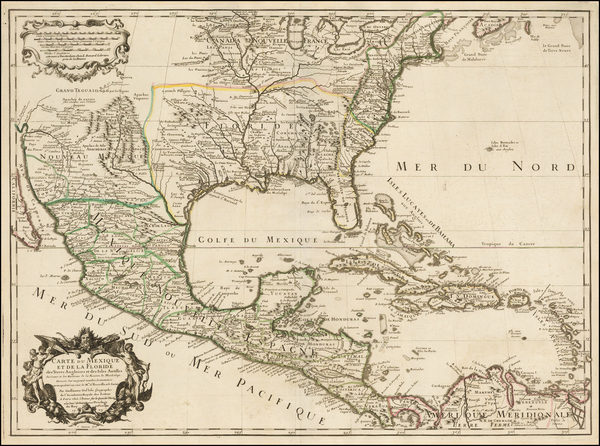
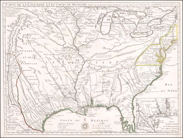
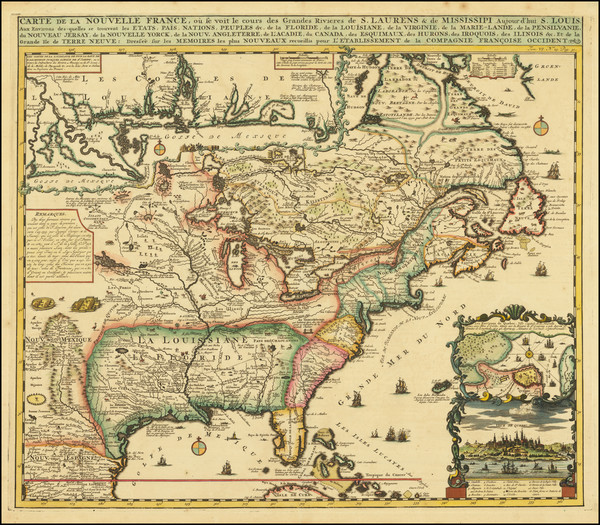
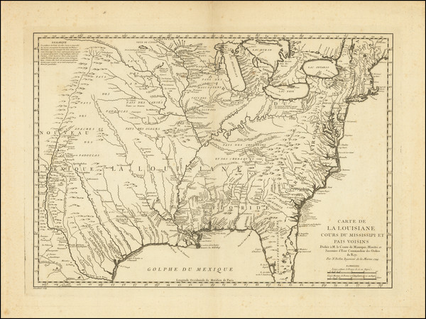
1718 Antique Map of the Mississippi River Valley During French Colonial Era
Place/Date:
Nuremberg / 1718
Size:
16.5 x 12.5 inches
Condition:
VG
Stock#:
72622
Place/Date:
Amsterdam / 1719
Size:
19 x 16.5 inches
Condition:
VG+
Stock#:
81980
Antique map showing the South by Chatelain, 1719.

Place/Date:
Amsterdam / 1719
Size:
20 x 16 inches
Condition:
VG+
Stock#:
86363
Place/Date:
Nuremberg / 1720
Size:
22.5 x 19 inches
Condition:
VG+
Stock#:
73950
Place/Date:
Amsterdam / 1720
Size:
16 x 14 inches
Condition:
VG
Stock#:
79683
Place/Date:
Amsterdam / 1720
Size:
22 x 19 inches
Condition:
VG+
Stock#:
92480
Place/Date:
Amsterdam / 1720
Size:
6 x 7.25 inches
Condition:
VG+
Stock#:
95924
Law's 1720 antique map showing the South.
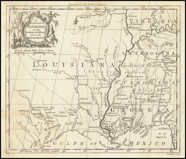
Place/Date:
London / 1729
Size:
10.5 x 8 inches
Condition:
VG
Stock#:
91687
Place/Date:
Amsterdam / 1730
Size:
23.5 x 17.5 inches
Condition:
VG
Stock#:
75931
Place/Date:
Augsburg / 1734
Size:
22.5 x 19.5 inches
Condition:
VG
Stock#:
95851
Place/Date:
Augsburg / 1740
Size:
22.5 x 19.5 inches
Condition:
Good
Stock#:
71713
Seutter's 1740 antique map showing the South.
Place/Date:
Venice / 1740
Size:
17 x 13 inches
Condition:
VG+
Stock#:
84142
Place/Date:
Paris / 1744
Size:
22 x 15.5 inches
Condition:
VG+
Stock#:
84933
Place/Date:
Amsterdam / 1745
Size:
22 x 19 inches
Condition:
VG+
Stock#:
90360
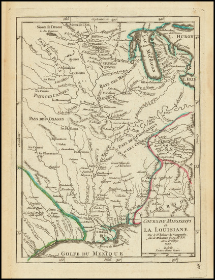
Place/Date:
Paris / 1749
Size:
6.5 x 8.5 inches
Condition:
VG+
Stock#:
73364
Place/Date:
Paris / 1749
Size:
7 x 6.5 inches
Condition:
VG
Stock#:
97356
Place/Date:
Paris / 1749
Size:
7 x 6.5 inches
Condition:
VG+
Stock#:
99892

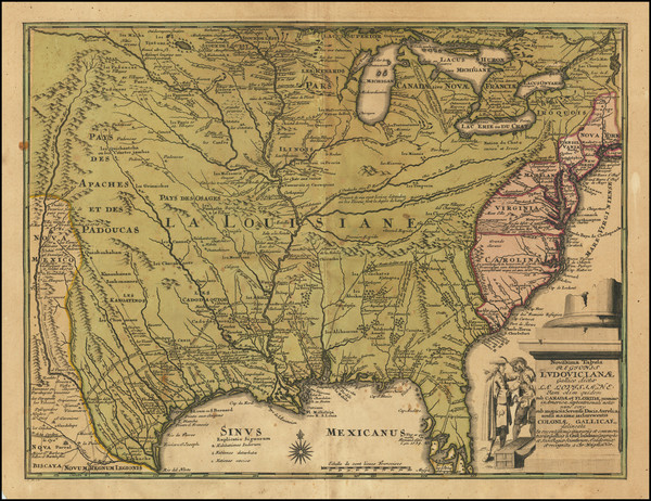
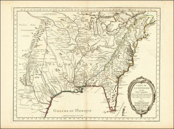
[ French Louisiana ] Carte De la Louisiane par Le Sr. D'Anville Dressee en Mai 1732. Publiee en 1752
Place/Date:
Paris / 1752
Size:
36 x 20.5 inches
Condition:
VG+
Stock#:
88804
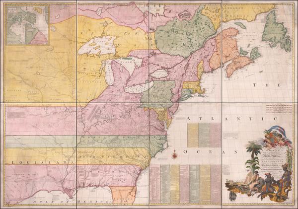
Place/Date:
London / 1755 - 1757
Size:
76 x 53 inches If Joined
Condition:
Good
Stock#:
60574dg
Mitchell's 1755 antique map showing the South.
Place/Date:
Paris / 1755
Size:
24 x 18.5 inches
Condition:
VG+
Stock#:
84872
Place/Date:
Nuremberg / 1755
Size:
22.5 x 16.5 inches
Condition:
VG+
Stock#:
102133
Place/Date:
Paris / 1757
Size:
12 x 8.5 inches
Condition:
VG+
Stock#:
85928
Place/Date:
London / 1760
Size:
8.5 x 7.5 inches
Condition:
VG
Stock#:
68964
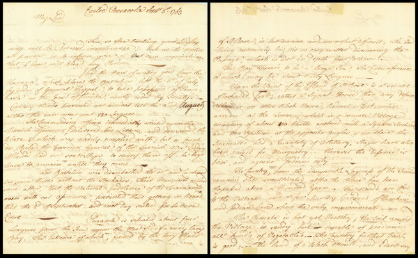
Place/Date:
Pensacola, Florida / 1763
Size:
9.25 x 15 inches
Condition:
VG
Stock#:
86620
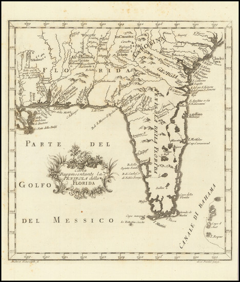
Place/Date:
Livorno / 1763
Size:
9 x 8.5 inches
Condition:
VG+
Stock#:
101460