Search
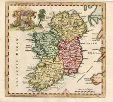
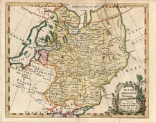
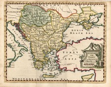
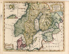
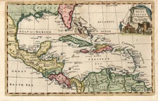
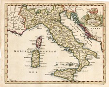
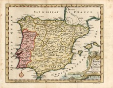
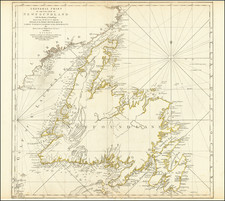
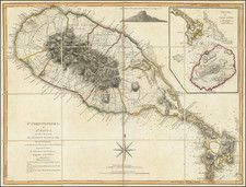
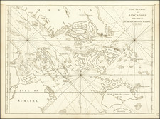
Thomas Jefferys (ca. 1719-1771) was a prolific map publisher, engraver, and cartographer based in London. His father was a cutler, but Jefferys was apprenticed to Emanuel Bowen, a prominent mapmaker and engraver. He was made free of the Merchant Taylors’ Company in 1744, although two earlier maps bearing his name have been identified.
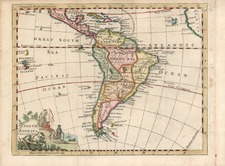
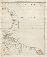
Jefferys had several collaborators and partners throughout his career. His first atlas, The Small English Atlas, was published with Thomas Kitchin in 1748-9. Later, he worked with Robert Sayer on A General Topography of North America (1768); Sayer also published posthumous collections with Jefferys' contributions including The American Atlas, The North-American Pilot, and The West-India Atlas.
Jefferys was the Geographer to Frederick Prince of Wales and, from 1760, to King George III. Thanks especially to opportunities offered by the Seven Years' War, he is best known today for his maps of North America, and for his central place in the map trade—he not only sold maps commercially, but also imported the latest materials and had ties to several government bodies for whom he produced materials.
Upon his death in 1771, his workshop passed to his partner, William Faden, and his son, Thomas Jr. However, Jefferys had gone bankrupt in 1766 and some of his plates were bought by Robert Sayer (see above). Sayer, who had partnered in the past with Philip Overton (d. 1751), specialized in (re)publishing maps. In 1770, he partnered with John Bennett and many Jefferys maps were republished by the duo.


Archived