
Search
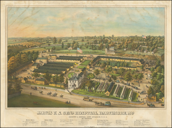
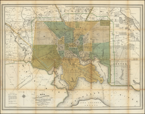
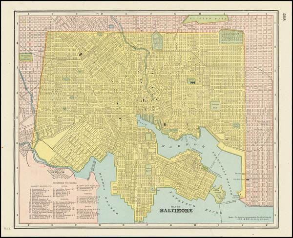
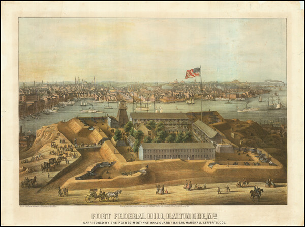
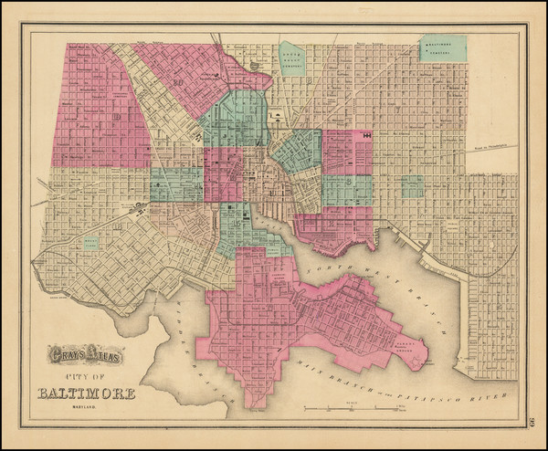
Place/Date:
Baltimore / 1864
Size:
23.25 x 15 inches
Condition:
Good
Stock#:
96505
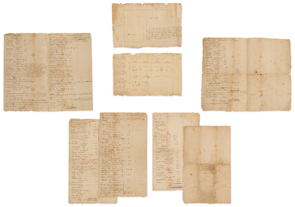
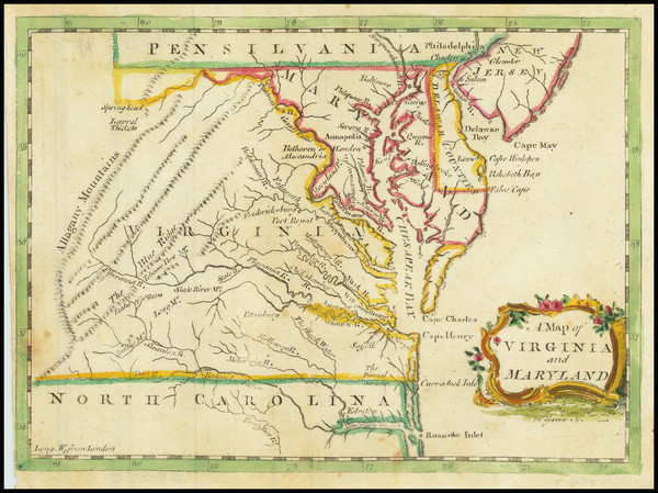
Place/Date:
Kentucky / 1797 circa
Size:
16 x 14 inches
Condition:
VG
Stock#:
81445
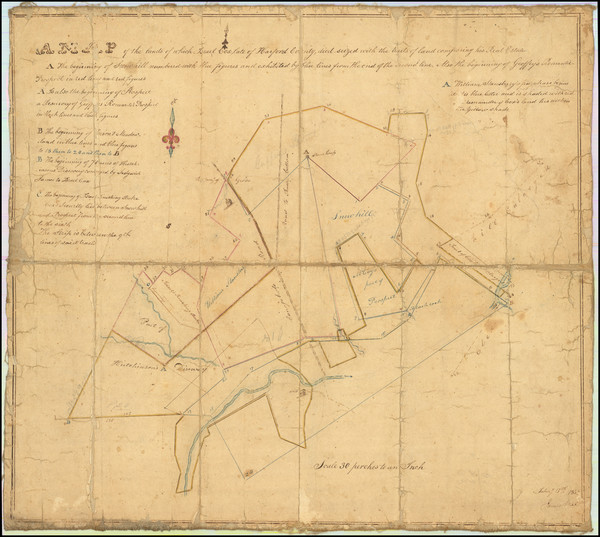
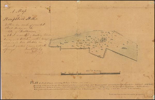
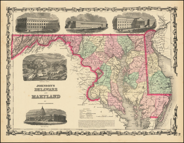
Place/Date:
Harford County / 1834
Size:
17 x 15.5 inches
Condition:
VG
Stock#:
83311
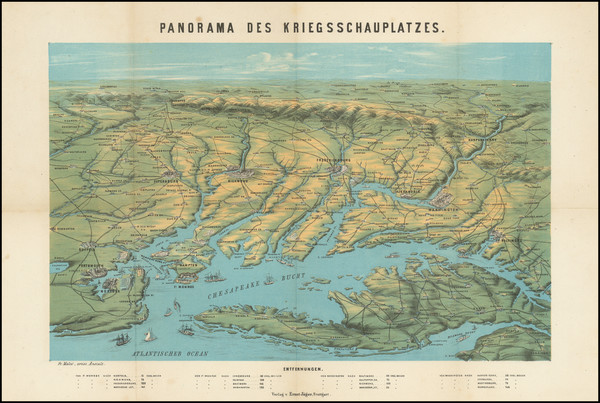
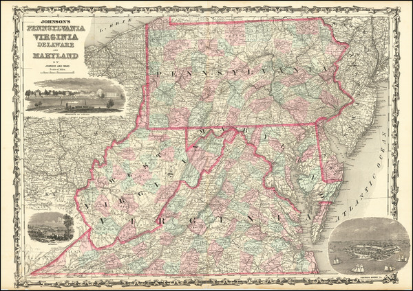
Place/Date:
Stuttgart / 1862
Size:
14.25 x 11 inches
Condition:
VG
Stock#:
99760
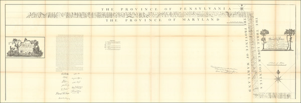
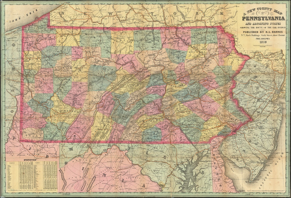
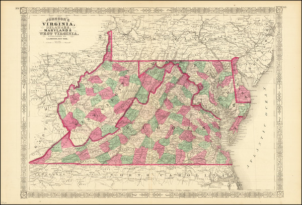
Place/Date:
Philadelphia / 1879 circa
Size:
78 x 26 inches (various sizes)
Condition:
VG
Stock#:
96836
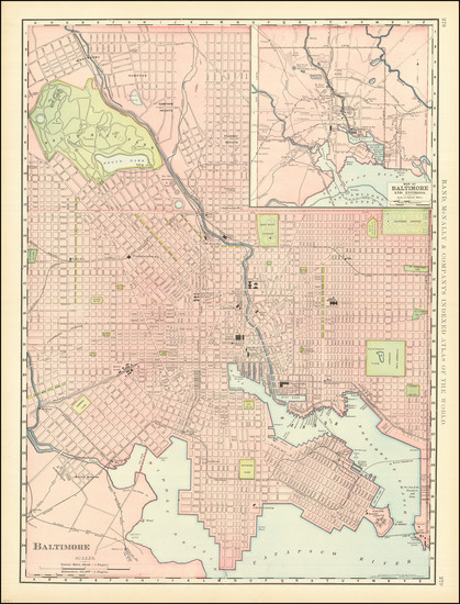
Place/Date:
Baltimore / 1853
Size:
24.5 x 20 inches
Condition:
Good
Stock#:
102136
Place/Date:
Baltimore / 1800 circa
Size:
15.5 x 9 inches including text
Condition:
VG
Stock#:
101457
.
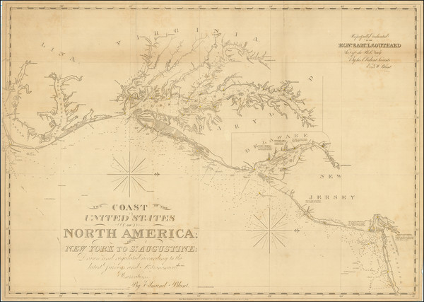
Place/Date:
New York / 1827 (1840)
Size:
37 x 26.5 inches
Condition:
VG+
Stock#:
84684
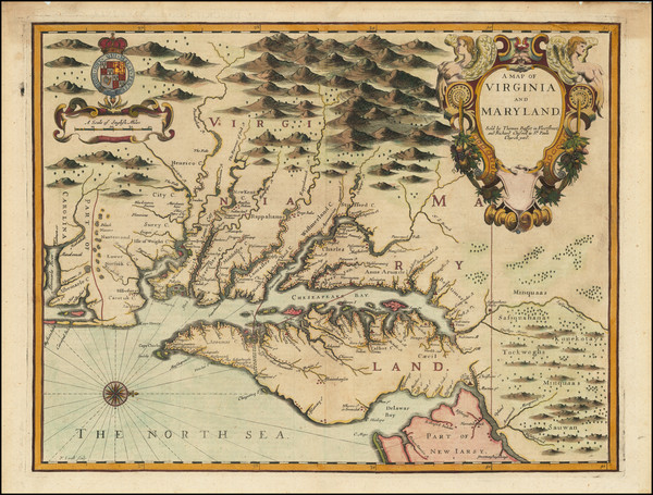
Place/Date:
London / 1671
Size:
15 x 12 inches
Condition:
VG
Stock#:
98196
Place/Date:
London / 1758
Size:
3.75 x 2.5 inches
Condition:
VG+
Stock#:
98228
Place/Date:
Amsterdam / 1695 circa
Size:
23 x 20 inches
Condition:
VG
Stock#:
47255
1695 original Van Keulen map showing Maryland.
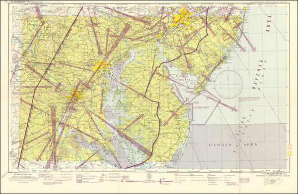
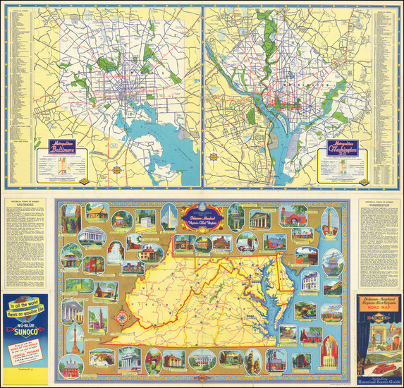
Place/Date:
Washington, D.C. / 1945
Size:
33.1 x 20.2 inches
Condition:
VG
Stock#:
99620
Place/Date:
Washington / 1827
Size:
31 x 10 inches (each)
Condition:
VG
Stock#:
82583
Place/Date:
Paris / 1786 [1787]
Size:
23 x 23 inches (map size)
Condition:
VG+
Stock#:
51828
Rare map showing Maryland by Jefferson made in 1786.
Place/Date:
Maryland? / 1931 circa
Size:
17 x 22 inches
Condition:
VG
Stock#:
81014
Place/Date:
Baltimore / 1823
Size:
12.5 x 15.5 inches
Condition:
VG+
Stock#:
80266
Place/Date:
London / 1781
Size:
14.5 x 10 inches
Condition:
VG
Stock#:
96537
Place/Date:
Baltimore / 1935
Size:
10 x 13 inches
Condition:
VG
Stock#:
74490
Place/Date:
London / 1757
Size:
9 x 6.5 inches
Condition:
VG+
Stock#:
82894
Place/Date:
London / 1769
Size:
5 x 7 inches
Condition:
VG
Stock#:
102599
Place/Date:
London / 1755
Size:
8 x 5.5 inches
Condition:
VG
Stock#:
81587
Place/Date:
London / 1676
Size:
19.5 x 15 inches
Condition:
VG
Stock#:
93641
Place/Date:
Boston / 1794 (1803)
Size:
41 x 33 inches
Condition:
VG
Stock#:
55919ops
Antique map showing Maryland by Norman, 1794.
Place/Date:
Philadelphia / 1859
Size:
37 x 25.25 inches
Condition:
VG
Stock#:
87577
Place/Date:
Philadelphia / 1855
Size:
14.5 x 11.5 inches
Condition:
VG+
Stock#:
80504
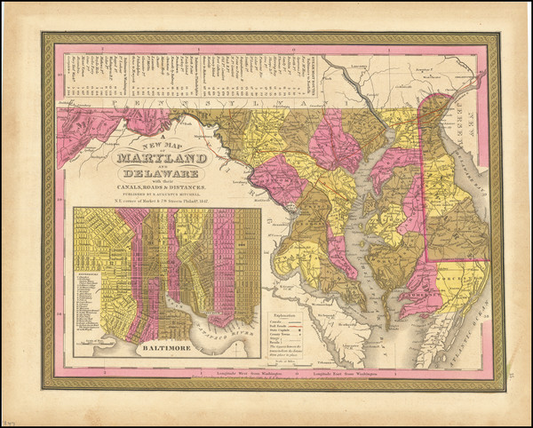
Place/Date:
Philadelphia / 1847
Size:
14.5 x 11.5 inches
Condition:
VG+
Stock#:
82059
Place/Date:
London / 1719
Size:
22 x 19.5 inches
Condition:
VG
Stock#:
95619
Senex's 1719 antique map showing Maryland.
Place/Date:
New York / 1867 circa
Size:
25.5 x 23 inches
Condition:
VG
Stock#:
79094
Bien & Co.'s 1867 original map showing Maryland.

Place/Date:
Boston / 1838
Size:
14.5 x 11 inches
Condition:
VG+
Stock#:
76280
Place/Date:
Chicago / 1898
Size:
19.5 x 25.5 inches
Condition:
VG+
Stock#:
97773
Place/Date:
Chicago / 1912
Size:
19.5 x 25.5 inches
Condition:
VG+
Stock#:
96278
Place/Date:
Philadelphia / 1865
Size:
23 x 17.5 inches
Condition:
VG+
Stock#:
96096
Place/Date:
Boston / 1861
Size:
16.5 x 19.5 inches
Condition:
VG
Stock#:
102933
Place/Date:
Paris / 1783
Size:
9 x 7 inches
Condition:
VG
Stock#:
78131
Place/Date:
Paris / 1773
Size:
11.5 x 7.5 inches
Condition:
VG+
Stock#:
99745
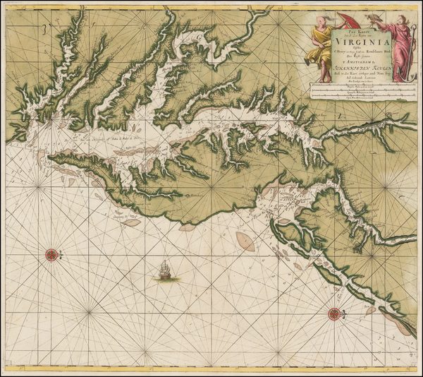
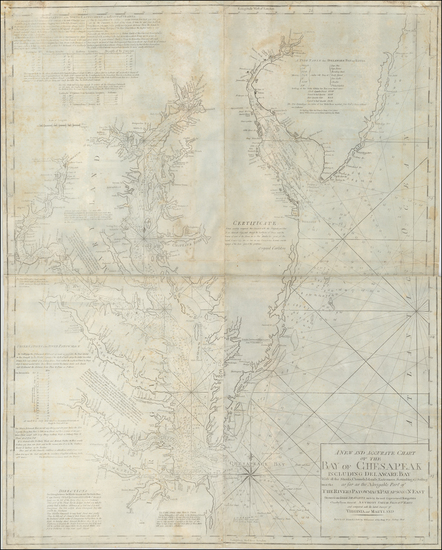
Place/Date:
Amsterdam / 1692
Size:
31.5 x 21.5 inches
Condition:
VG
Stock#:
61392mp2
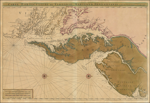
17th Century Sea Chart of The Chesapeake and Delaware Bay -- Virginia, Maryland, Delaware, New Jersey

Place/Date:
New York / 1871
Size:
16 x 13 inches
Condition:
VG+
Stock#:
76995
Place/Date:
New York / 1871
Size:
43 x 30 inches
Condition:
VG
Stock#:
97156
Place/Date:
New York / 1836
Size:
12.5 x 11 inches
Condition:
VG
Stock#:
71351
Place/Date:
Chicago / 1941
Size:
28.5 x 27.3 inches
Condition:
VG+
Stock#:
98798

Place/Date:
Baltimore / 1814
Size:
19.6 x 15.2 inches
Condition:
VG
Stock#:
55109mbml
1814 original Dulac map showing Maryland.
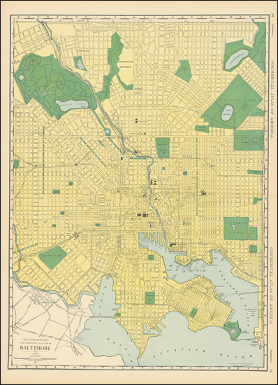
Place/Date:
Baltimore / 1862
Size:
20 x 15 inches
Condition:
VG
Stock#:
96504
Place/Date:
Philadelphia / 1873
Size:
15 x 12 inches
Condition:
VG+
Stock#:
74941
Place/Date:
New York City / 1862
Size:
17 x 12.5 inches
Condition:
VG+
Stock#:
98332
Place/Date:
New York / 1862
Size:
24 x 17 inches
Condition:
VG
Stock#:
83569
Place/Date:
New York / 1869
Size:
23 x 17 inches
Condition:
VG+
Stock#:
80279
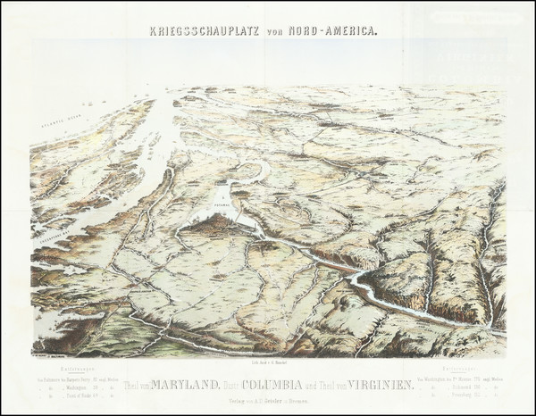
Place/Date:
Bremen / 1861 circa
Size:
20 x 15.5 inches
Condition:
VG
Stock#:
67828
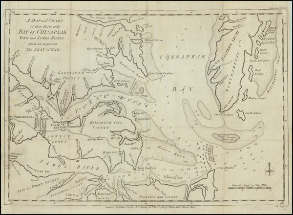
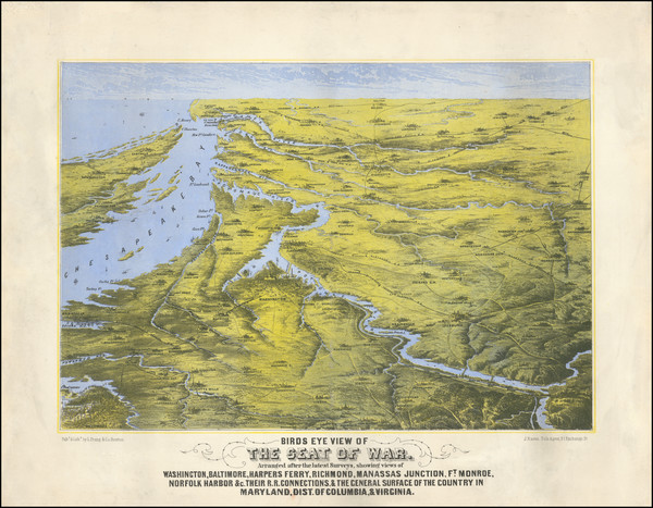
Antique Theater of War View of the Chesapeake Region
Place/Date:
Philadelphia / 1813
Size:
18 x 16 inches
Condition:
VG
Stock#:
66754
Place/Date:
Chicago / 1896
Size:
13 x 16 inches
Condition:
VG+
Stock#:
84993