
Search
Old and antique maps of Eastern Canada for sale. Our authentic Eastern Canada map inventory features antique maps of Canada from the period of New France, the Hudson Bay Company, and early exploration by mapmakers such as Champlain. Our map inventory typically includes antique and vintage city views and plans of Montreal, Quebec, and Toronto, as well as maps of Ontario, Upper and Lower Canada, Quebec, Newfoundland and Labrador, Prince Edward Island, Nova Scotia, and New Brunswick. Vintage pictorial maps of Eastern Canada are also for sale.
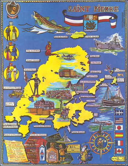
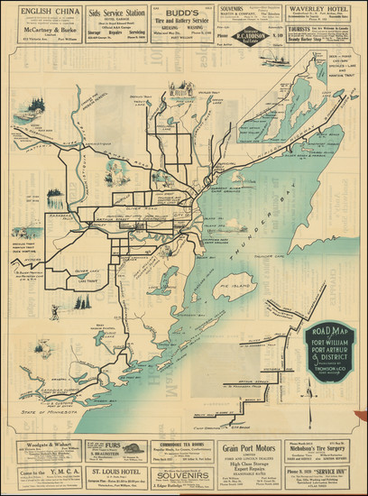
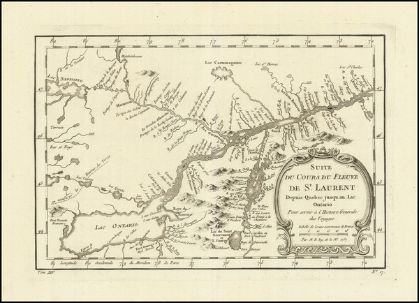
Place/Date:
n.p. / 1967
Size:
18 x 23 inches
Condition:
VG+
Stock#:
82287
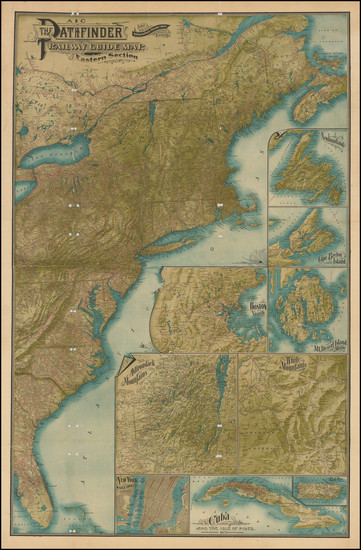
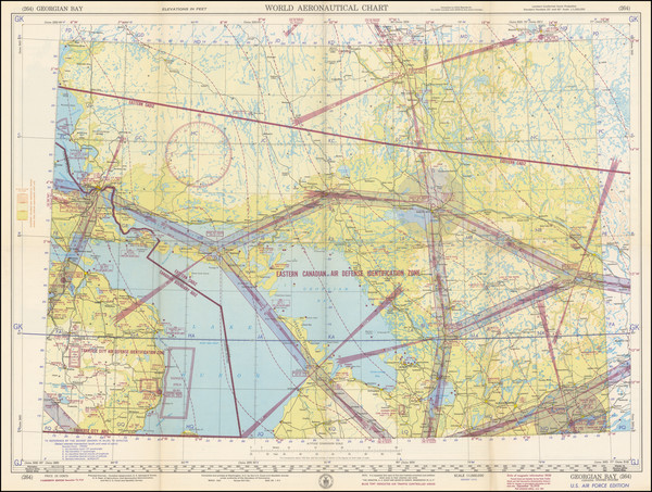
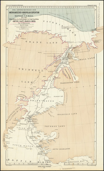
Place/Date:
Boston / 1901
Size:
28 x 42.5 inches
Condition:
Good
Stock#:
87611
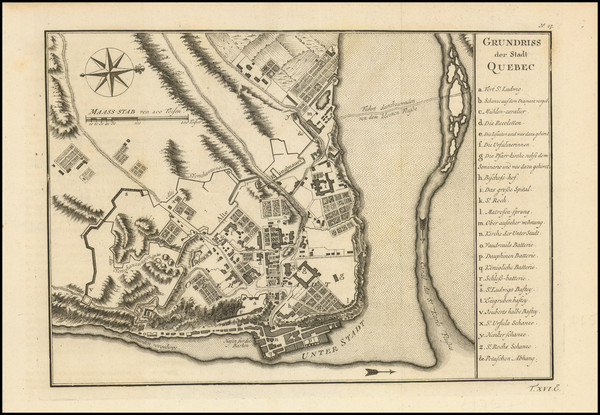
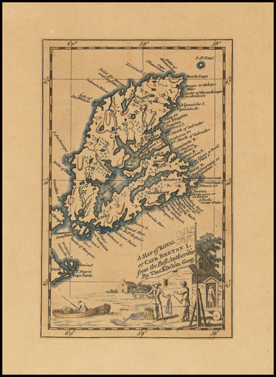
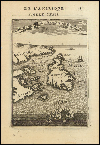
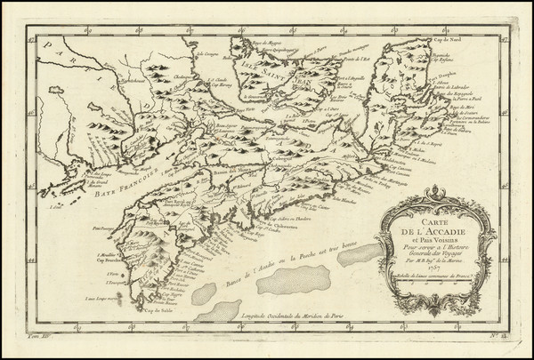
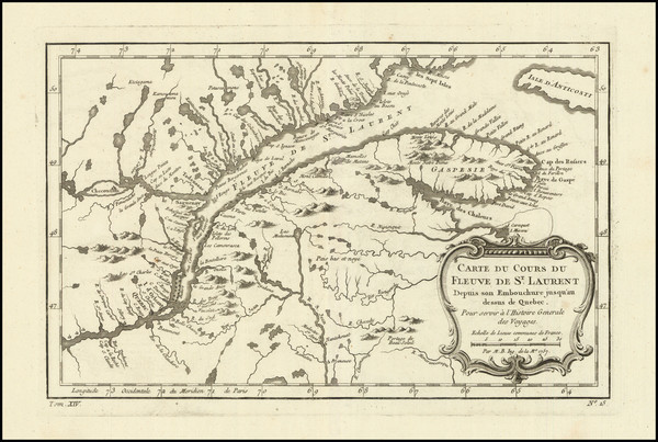
Place/Date:
Paris? / 1758 circa
Size:
11 x 8 inches
Condition:
VG+
Stock#:
95216
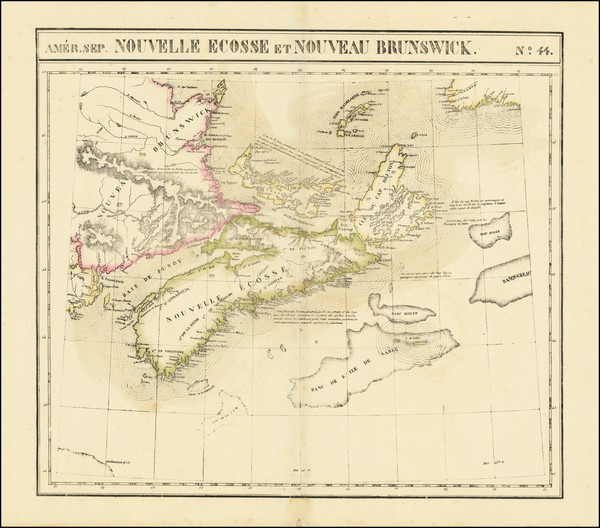
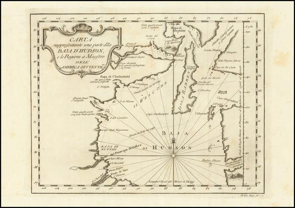
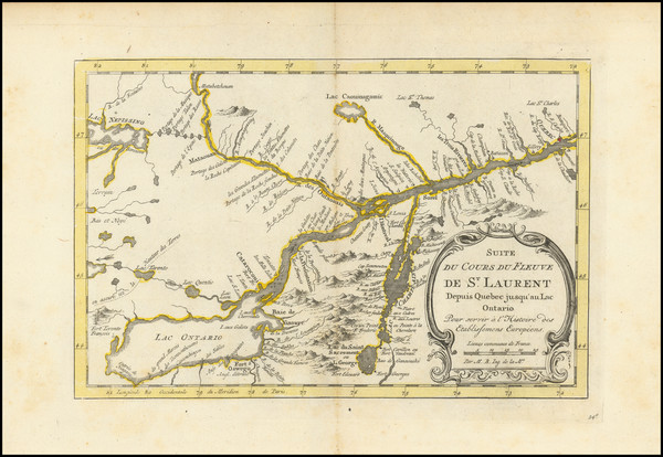
Place/Date:
Brussels / 1825
Size:
22 x 18.5 inches
Condition:
VG
Stock#:
96886
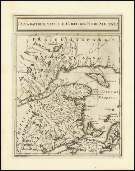
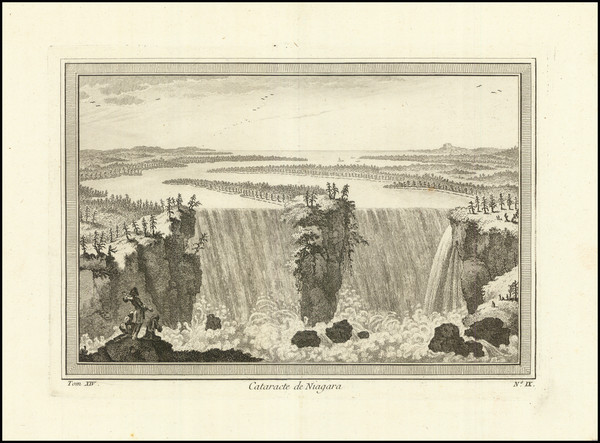
Place/Date:
Paris / 1749
Size:
8 x 7 inches
Condition:
VG
Stock#:
99952
Place/Date:
London / 1807
Size:
20 x 18 inches
Condition:
VG+
Stock#:
100331
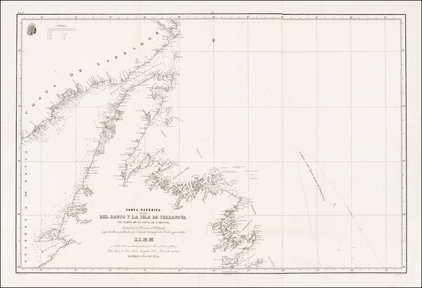
Place/Date:
Madrid / 1840
Size:
37.5 x 25.5 inches
Condition:
VG
Stock#:
42237sh
1840 antique Direccion Hidrografica de Madrid map showing Eastern Canada.
Place/Date:
Quebec / 1922
Size:
25 x 33 inches
Condition:
VG
Stock#:
79432
Place/Date:
Brussels / 1825
Size:
20 x 18.5 inches
Condition:
VG
Stock#:
79657
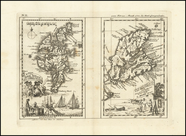
Place/Date:
Hamburg / 1751
Size:
9.5 x 6.75 inches
Condition:
VG
Stock#:
90228
Place/Date:
Hamburg / 1688
Size:
7 x 12 inches Including Text
Condition:
VG
Stock#:
94089

Place/Date:
Paris / 1683
Size:
4 x 6.5 inches
Condition:
VG+
Stock#:
96665
Place/Date:
n.p. / 1915
Size:
20 x 27.5 inches
Condition:
VG
Stock#:
103140

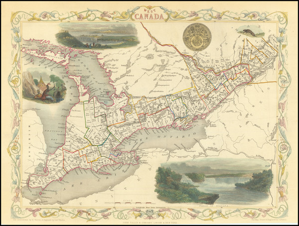
Place/Date:
London / 1851
Size:
13 x 9.5 inches
Condition:
VG+
Stock#:
45202
Tallis's 1851 antique map showing Eastern Canada.
Place/Date:
Washington, D.C. / 1951
Size:
27.75 x 20.4 inches
Condition:
VG+
Stock#:
98761
Place/Date:
London / 1747
Size:
4 x 7 inches
Condition:
VG
Stock#:
101397
Place/Date:
Livorno / 1777
Size:
11 x 8.5 inches
Condition:
VG
Stock#:
95989
Place/Date:
Paris / 1757
Size:
11.5 x 7.5 inches
Condition:
VG+
Stock#:
96603
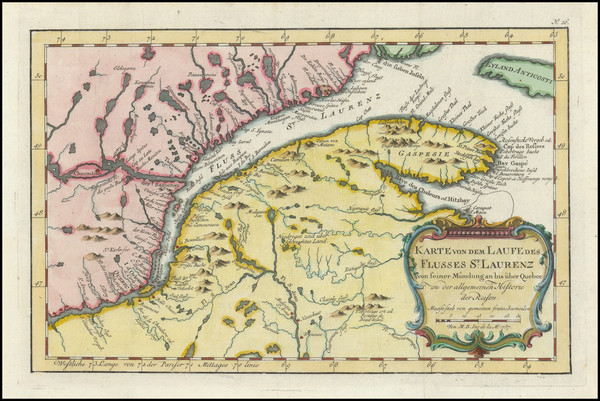
Place/Date:
Frankfurt / 1684
Size:
4.5 x 6 inches
Condition:
VG+
Stock#:
96891
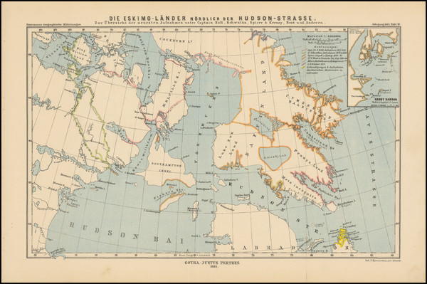
Place/Date:
Gotha, Germany / 1876
Size:
10.75 x 17.5 inches
Condition:
VG
Stock#:
98477
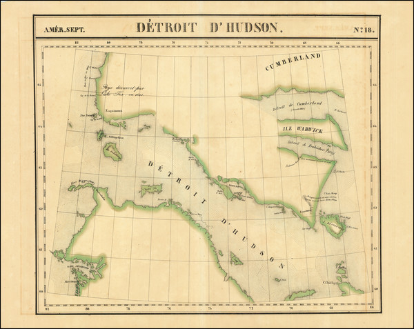
Place/Date:
Amsterdam / 1771
Size:
12 x 7.5 inches
Condition:
VG
Stock#:
101652
Place/Date:
Gotha / 1885
Size:
14.2 x 8.75 inches
Condition:
VG+
Stock#:
101690

Place/Date:
Paris / 1787
Size:
13 x 9.5 inches
Condition:
VG
Stock#:
81627
Place/Date:
London / 1851
Size:
13 x 9.5 inches
Condition:
VG+
Stock#:
84032
Place/Date:
Brussels / 1825
Size:
22.5 x 19 inches
Condition:
VG+
Stock#:
96406
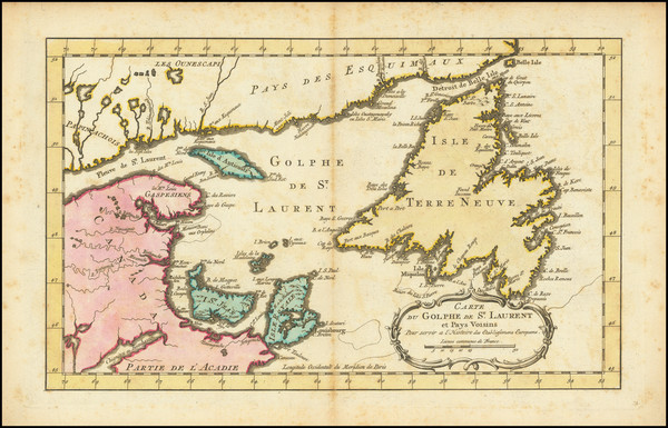
Place/Date:
Paris / 1757
Size:
12 x 9 inches
Condition:
VG
Stock#:
96825
Rare map showing Eastern Canada by Bellin, 1757.
Place/Date:
Paris / 1757
Size:
13 x 8.5 inches
Condition:
VG+
Stock#:
97210
Place/Date:
Livorno / 1763
Size:
7.5 x 10 inches
Condition:
VG+
Stock#:
99719
Place/Date:
Paris ? / 1757
Size:
12 x 7.5 inches
Condition:
VG
Stock#:
99757
Bellin's 1757 rare map showing Eastern Canada.
Place/Date:
Amsterdam / 1770 circa
Size:
14 x 9 inches
Condition:
VG
Stock#:
101566
1770 original Schley map showing Eastern Canada.
Place/Date:
Amsterdam / 1770
Size:
13 x 8 inches
Condition:
VG
Stock#:
100962
Place/Date:
Stuttgart / 1842
Size:
4.5 x 7 inches
Condition:
VG+
Stock#:
86080
Place/Date:
London / 1870
Size:
17 x 13 inches
Condition:
VG+
Stock#:
94158
Place/Date:
Brussels / 1825
Size:
20.5 x 19 inches
Condition:
VG
Stock#:
96675
Place/Date:
Paris / 1757
Size:
12 x 7.5 inches
Condition:
VG+
Stock#:
96784
Place/Date:
Paris / 1757
Size:
10.5 x 7 inches
Condition:
VG+
Stock#:
96890

Place/Date:
Washington, D.C. / 1951
Size:
28 x 21.5 inches
Condition:
VG
Stock#:
97067
Place/Date:
Washington, D.C. / 1952
Size:
27.8 x 20.4 inches
Condition:
VG+
Stock#:
98802
Place/Date:
Livorno, Italy / 1777
Size:
6.5 x 8 inches
Condition:
VG+
Stock#:
99718
Place/Date:
London / 1857
Size:
16 x 13 inches
Condition:
VG+
Stock#:
102916
Place/Date:
London / 1857
Size:
8 x 12 inches
Condition:
VG
Stock#:
102981
Place/Date:
Chicago / 1895
Size:
12 x 9.5 inches
Condition:
VG+
Stock#:
103050
Place/Date:
Paris / 1764
Size:
6.5 x 7.5 inches
Condition:
VG+
Stock#:
58758
Bellin's 1764 original map showing Eastern Canada.
Place/Date:
New York / 1836
Size:
12.5 x 11 inches
Condition:
VG+
Stock#:
70963

Place/Date:
New York / 1836
Size:
12 x 10.5 inches
Condition:
VG+
Stock#:
70992
Place/Date:
Paris / 1764
Size:
6.5 x 8 inches
Condition:
VG+
Stock#:
81615
Place/Date:
Paris / 1764
Size:
6.5 x 8.5 inches
Condition:
VG+
Stock#:
81606
Place/Date:
Paris / 1764
Size:
6.5 x 8.5 inches
Condition:
VG+
Stock#:
81608
Place/Date:
Boston / 1838
Size:
14.5 x 11.5 inches
Condition:
VG+
Stock#:
76274