
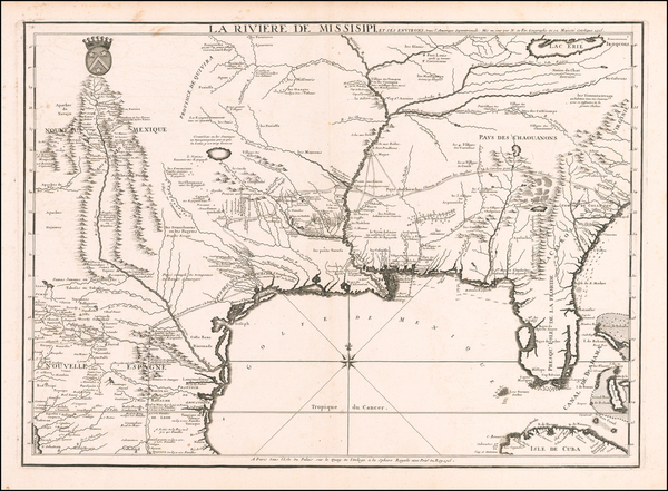
Search
Place/Date:
Paris / 1756
Size:
13.5 x 11 inches ( Whole Sheet)
Condition:
VG
Stock#:
52293op
Gautier d'Agoty's 1756 antique map showing the Southeast.
Place/Date:
London / 1625
Size:
14 x 11.5 inches
Condition:
VG+
Stock#:
99112
Place/Date:
Florence / 1647 (1661)
Size:
15.5 x 19 inches
Condition:
VG+
Stock#:
102609
Place/Date:
Amsterdam / 1634
Size:
22 x 16.5 inches
Condition:
VG
Stock#:
75672
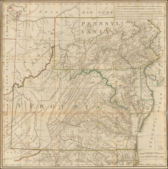
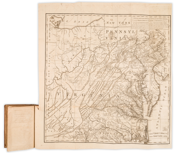
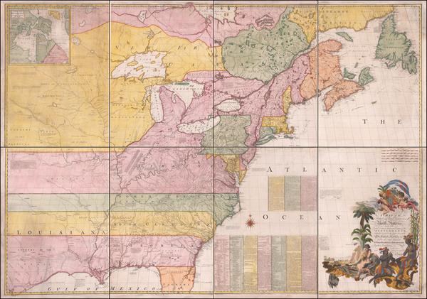
Place/Date:
London / 1787
Size:
23 x 23 inches (Map)
Condition:
VG
Stock#:
55181
Thomas Jefferson's Map / Book on Virginia
Place/Date:
Amsterdam / 1675
Size:
20.75 x 16 inches
Condition:
VG+
Stock#:
94717
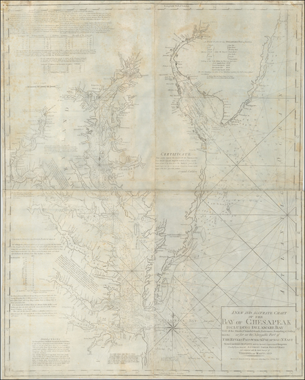
Place/Date:
Paris / 1786 [1787]
Size:
23 x 23 inches (map size)
Condition:
VG+
Stock#:
51828
Rare map showing the Southeast by Jefferson made in 1786.
Place/Date:
Boston / 1794 (1803)
Size:
41 x 33 inches
Condition:
VG
Stock#:
55919ops
Antique map showing the Southeast by Norman, 1794.
Place/Date:
Paris / 1715
Size:
25 x 18 inches
Condition:
VG
Stock#:
59953
Antique map showing the Southeast by de Fer, 1715.
Place/Date:
London / 1685 (1715 ca)
Size:
21.5 x 18 inches
Condition:
VG+
Stock#:
60306op
Original map showing the Southeast by Morden / Lea / Willdey / Thornton made in 1685.
Place/Date:
Amsterdam / 1687
Size:
21 x 16 inches
Condition:
VG+
Stock#:
45480dc
1687 antique Robijn map showing the Southeast.
Place/Date:
London / 1776
Size:
10.5 x 17 inches (book size)
Condition:
VG+
Stock#:
100077
Place/Date:
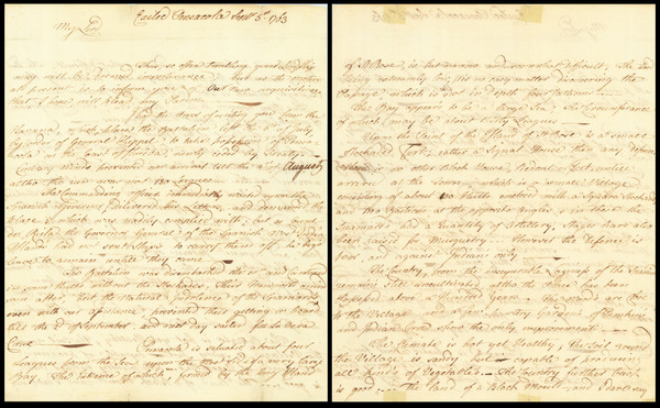
Pensacola, Florida; Mobile; Philadelphia / 1797
Size:
9.5 x 15 inches
Condition:
VG+
Stock#:
90005
Place/Date:
Pensacola, Florida / 1763
Size:
9.25 x 15 inches
Condition:
VG
Stock#:
86620
Place/Date:
London / 1755 - 1757
Size:
76 x 53 inches If Joined
Condition:
Good
Stock#:
60574dg
Mitchell's 1755 antique map showing the Southeast.

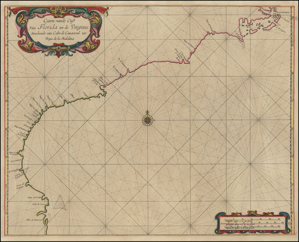
Place/Date:
Amsterdam / 1695 circa
Size:
39 x 32 inches
Condition:
VG
Stock#:
46848
17th Century Dutch Sea Chart on Vellum