
Search
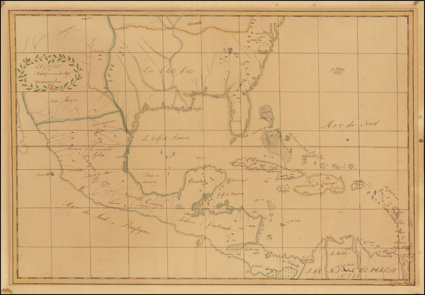
Place/Date:
n.p. / 1817
Size:
23.5 x 16 inches
Condition:
VG
Stock#:
91580
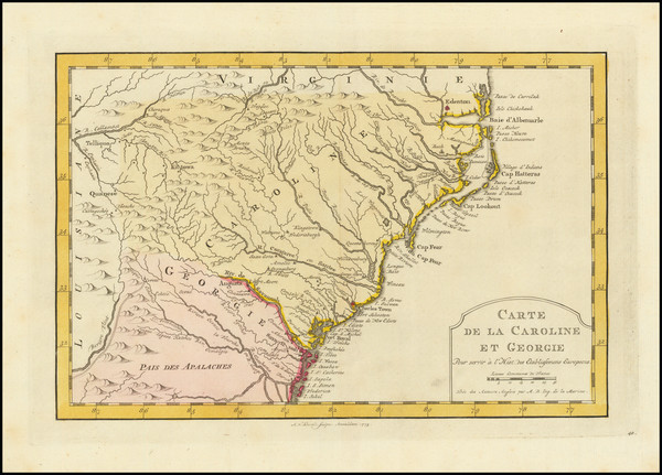
Place/Date:
Amsterdam / 1773
Size:
11 x 7.5 inches
Condition:
VG+
Stock#:
99744
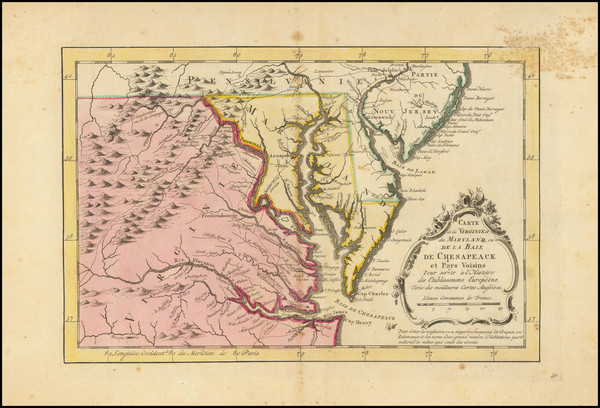
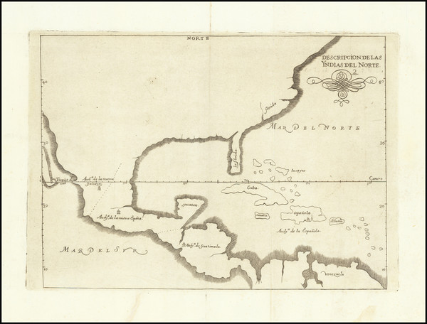
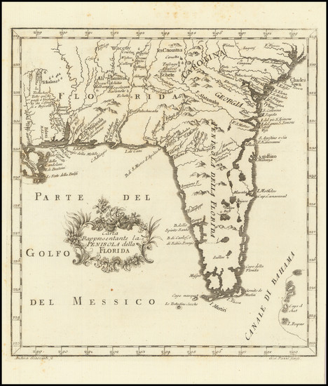
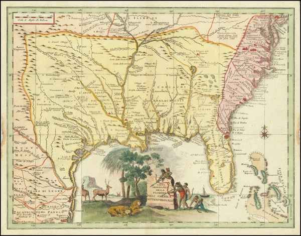
Place/Date:
Amsterdam / 1770
Size:
12 x 8 inches
Condition:
Good
Stock#:
100968
Krevelt's 1770 rare map showing the Southeast.
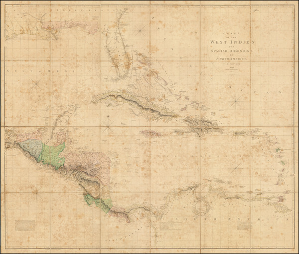
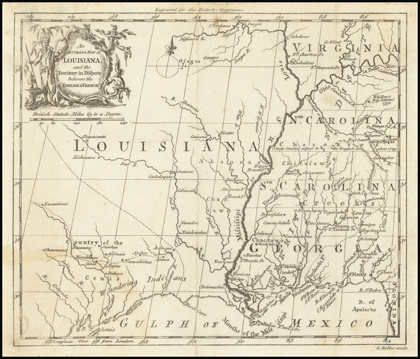
Place/Date:
London / 1810
Size:
49 x 37.5 inches
Condition:
Good
Stock#:
68459
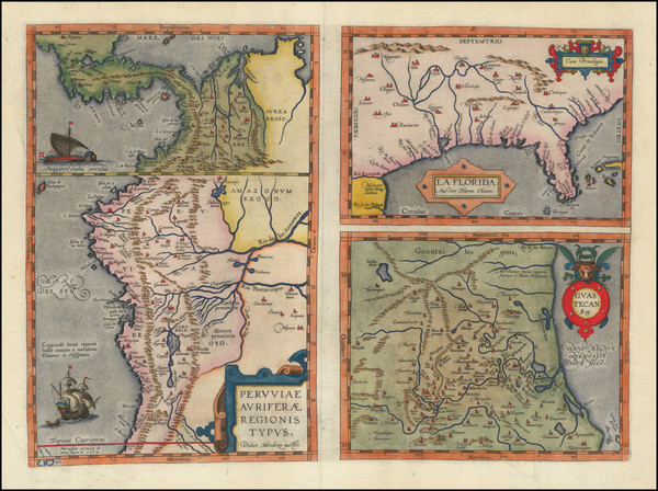
Place/Date:
Antwerp / 1584
Size:
18 x 13 inches
Condition:
VG+
Stock#:
89451
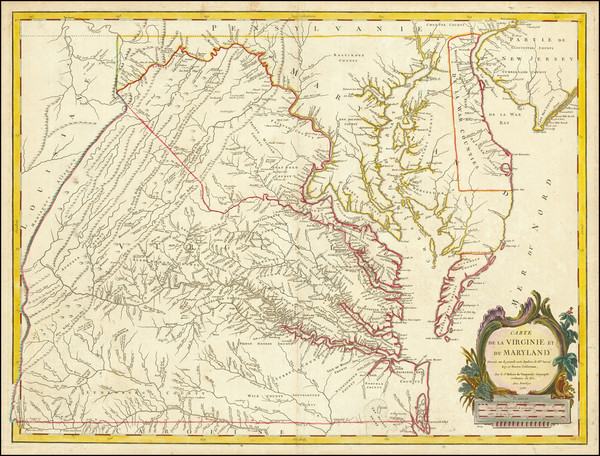
Place/Date:
Paris / 1683
Size:
4.5 x 6 inches
Condition:
VG+
Stock#:
91775
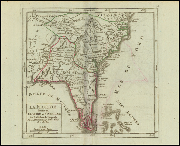
Place/Date:
Paris / 1683
Size:
4.5 x 7 inches
Condition:
VG
Stock#:
96421
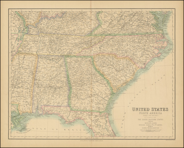
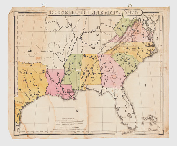
Place/Date:
New York / 1867
Size:
22.5 x 17 inches
Condition:
VG+
Stock#:
89069
Place/Date:
n.p. / 1650 circa
Size:
8 x 6.5 inches
Condition:
VG
Stock#:
44001
Antique map showing the Southeast by Anonymous, 1650.
Place/Date:
Madrid / 1601 (1726)
Size:
11 x 8 inches
Condition:
VG+
Stock#:
66722
Spanish North America
Place/Date:
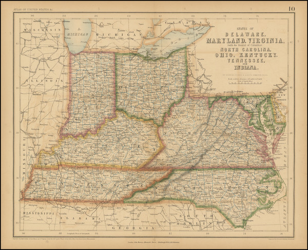
Edinburgh / 1854
Size:
20 x 16 inches
Condition:
VG
Stock#:
102969
Place/Date:
Amsterdam / 1675
Size:
20.75 x 16 inches
Condition:
VG+
Stock#:
94717
Place/Date:
London / 1760
Size:
8.5 x 7.5 inches
Condition:
VG
Stock#:
68964
Place/Date:
Bamberg / 1852
Size:
21.5 x 29 inches
Condition:
VG
Stock#:
48081
Antique map showing the Southeast by Buchnerschen Buchhandlung, 1852.
Place/Date:
Savannah / 1875
Size:
40 x 52 inches
Condition:
VG+
Stock#:
92011
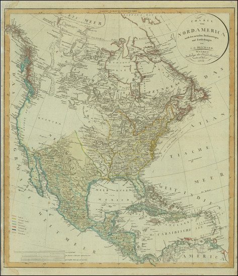
Place/Date:
Wiemar / 1802
Size:
20.5 x 23.5 inches
Condition:
VG
Stock#:
80449
Place/Date:
Nuremberg / 1718
Size:
16.5 x 12.5 inches
Condition:
VG
Stock#:
72622
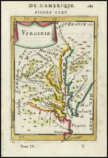
Place/Date:
Louvain / 1597
Size:
11.5 x 9 inches
Condition:
VG+
Stock#:
72247
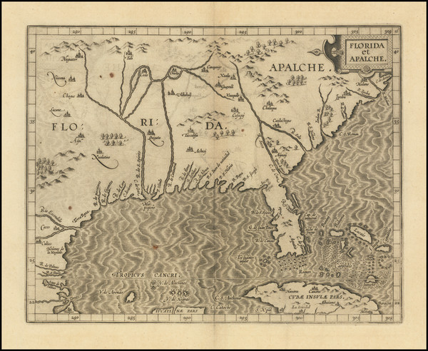
1597 rare Wytfliet map showing the Southeast.
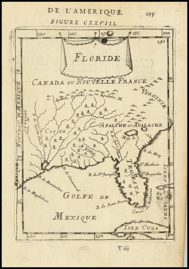
Place/Date:
Paris / 1755
Size:
24.5 x 19 inches
Condition:
VG
Stock#:
93097
Place/Date:
Madrid / 1799
Size:
37 x 24 inches
Condition:
VG
Stock#:
41973
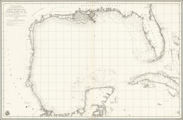
Original map showing the Southeast by Direccion Hidrografica de Madrid, 1799.

Place/Date:
Madrid / 1826
Size:
36.5 x 24.5 inches
Condition:
VG
Stock#:
48746
Direccion Hidrografica de Madrid's 1826 rare map showing the Southeast.

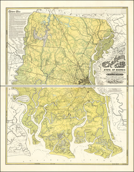
Place/Date:
n.p. / 1932
Size:
9.4 x 12.4 inches
Condition:
VG
Stock#:
75843
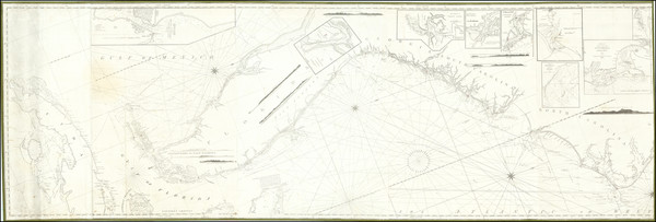
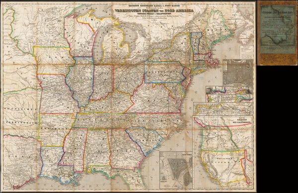
Place/Date:
New York / 1825 circa
Size:
86 x 29 inches
Condition:
VG
Stock#:
77294
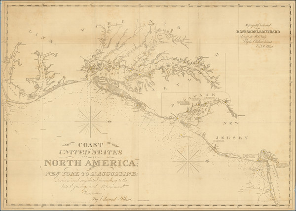
Place/Date:
New York / 1827 (1840)
Size:
37 x 26.5 inches
Condition:
VG+
Stock#:
84684

Place/Date:
New York / 1875
Size:
39 x 24 inches
Condition:
Good
Stock#:
80633
Place/Date:
New York / 1859
Size:
30 x 20.5 inches
Condition:
Good
Stock#:
85965

Place/Date:
Livorno / 1763
Size:
7 x 10 inches
Condition:
VG+
Stock#:
69299
Place/Date:
Livorno / 1763
Size:
9 x 8.5 inches
Condition:
VG+
Stock#:
101460
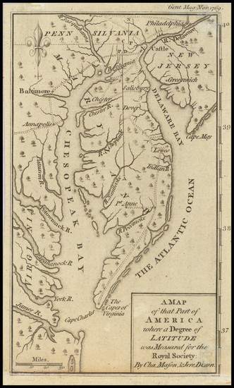
Place/Date:
London / 1769
Size:
5 x 7 inches
Condition:
VG
Stock#:
102599

Place/Date:
London / 1767 circa
Size:
23 x 18 inches
Condition:
VG
Stock#:
55267
Antique map showing the Southeast by Grierson made in 1767.
Place/Date:
Venice / 1740
Size:
17 x 13 inches
Condition:
VG+
Stock#:
84142
Place/Date:
Paris / 1778
Size:
25.5 x 19 inches
Condition:
VG
Stock#:
89532
Place/Date:
Paris / 1749
Size:
7 x 6.5 inches
Condition:
VG
Stock#:
97356
Place/Date:
Paris / 1749
Size:
7 x 6.5 inches
Condition:
VG+
Stock#:
99892
Place/Date:
Rome / 1798
Size:
14 x 19 inches
Condition:
VG+
Stock#:
95815
Place/Date:
Venice / 1561 (1574)
Size:
10 x 7.5 inches
Condition:
VG
Stock#:
80919
Place/Date:
Venice / 1561 (1574)
Size:
10 x 7.5 inches
Condition:
VG+
Stock#:
86737
Ruscelli's 1561 antique map showing the Southeast.
Place/Date:
Paris / 1703
Size:
25.5 x 19 inches
Condition:
VG+
Stock#:
47103
De L'Isle's 1703 antique map showing the Southeast.
Place/Date:
Paris / 1718
Size:
25.5 x 19 inches
Condition:
VG+
Stock#:
59797
1718 rare De L'Isle map showing the Southeast.
Place/Date:
Paris / 1745
Size:
25.5 x 19 inches
Condition:
VG
Stock#:
76340
Antique map showing the Southeast by De L'Isle / Buache made in 1745.
Place/Date:
Amsterdam / 1659
Size:
21.5 x 17 inches
Condition:
VG
Stock#:
81198
Place/Date:
Amsterdam / 1719
Size:
22 x 18 inches
Condition:
VG
Stock#:
61480
Place/Date:
Amsterdam / 1719
Size:
17 x 14.5 inches
Condition:
VG+
Stock#:
93146
Place/Date:
Amsterdam / 1640 circa
Size:
19.5 x 15 inches
Condition:
VG
Stock#:
91081
Place/Date:
London / 1625
Size:
14 x 11.5 inches
Condition:
VG+
Stock#:
99112
Place/Date:
Edinburgh / 1857
Size:
16 x 13 inches
Condition:
Stock#:
102830
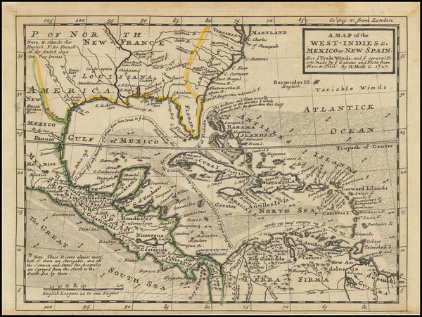
Place/Date:
London / 1729
Size:
10.5 x 8 inches
Condition:
VG
Stock#:
91687
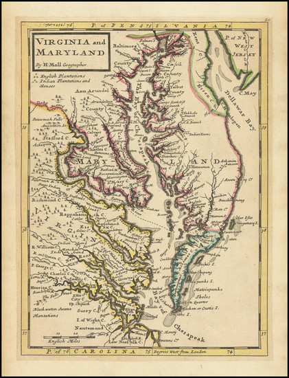
Place/Date:
London / 1729
Size:
8 x 11 inches
Condition:
VG
Stock#:
93311
1729 antique Moll map showing the Southeast.
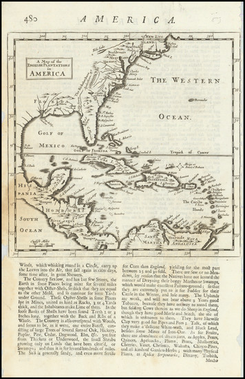
Place/Date:
London / 1695
Size:
7.5 x 11 inches
Condition:
VG
Stock#:
98200
Place/Date:
London / 1733
Size:
24.5 x 40.5 inches
Condition:
VG+
Stock#:
101277