
Search
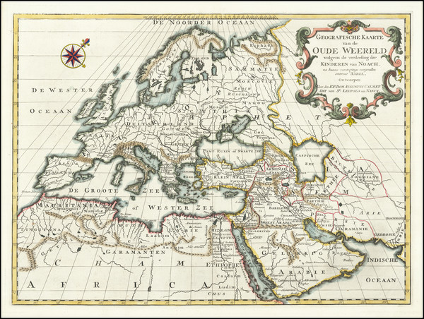
Place/Date:
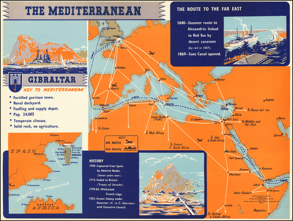
Venice / 1726
Size:
17.5 x 13 inches
Condition:
VG+
Stock#:
84166
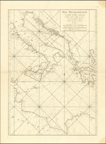
Rare map showing Mediterranean by Calmet made in 1726.
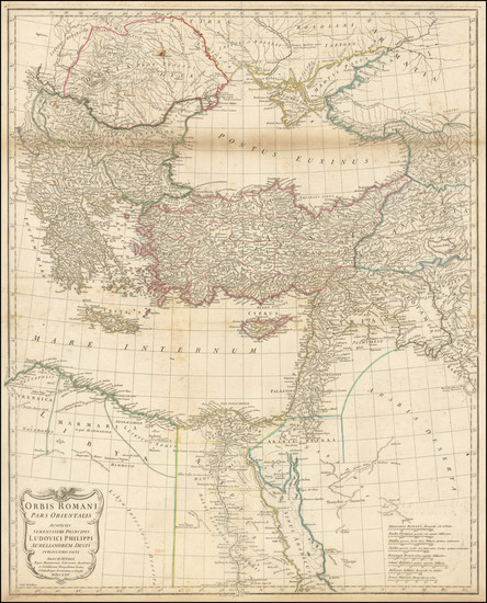
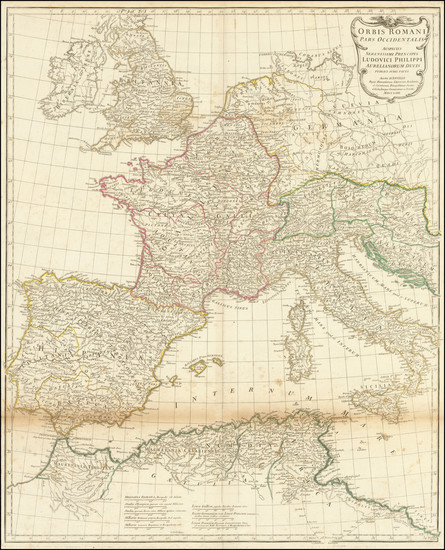
Place/Date:
Paris / 1737 circa
Size:
20.75 x 23.75 inches
Condition:
VG+
Stock#:
80031
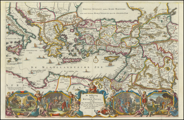
Place/Date:
Amsterdam / 1745
Size:
22.5 x 18.5 inches
Condition:
VG+
Stock#:
92720
Place/Date:
Amsterdam / 1745
Size:
22 x 18.5 inches
Condition:
VG+
Stock#:
92718
Place/Date:
Paris / 1745
Size:
21 x 29.5 inches
Condition:
VG+
Stock#:
88230
Place/Date:
Paris / 1745
Size:
30 x 20.5 inches
Condition:
VG
Stock#:
88231
Place/Date:
Paris / 1745
Size:
30.5 x 21 inches
Condition:
VG+
Stock#:
88229
Place/Date:
Amsterdam / 1745
Size:
35 x 19.5 inches
Condition:
VG
Stock#:
89363
Place/Date:
Paris / 1745
Size:
26 x 19 inches
Condition:
VG
Stock#:
89946
Place/Date:
Paris / 1745
Size:
24.5 x 18.5 inches
Condition:
VG+
Stock#:
94075
Place/Date:
Paris / 1745
Size:
25 x 19 inches
Condition:
VG+
Stock#:
94316
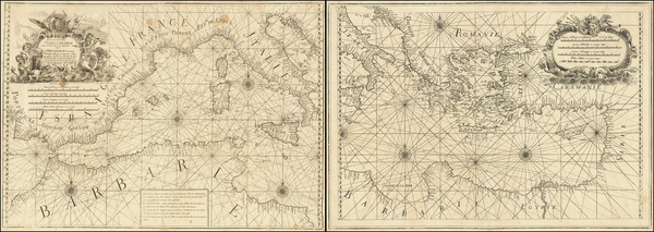
Place/Date:
Toulon / 1746
Size:
32 x 22.5 inches (each sheet)
Condition:
VG
Stock#:
35686dc
Antique map showing Mediterranean by Olivier, 1746.
Place/Date:
Amsterdam / 1748 circa
Size:
18.5 x 14 inches
Condition:
VG
Stock#:
95128
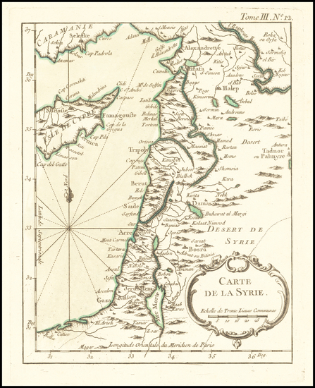
Place/Date:
Paris / 1764
Size:
6.5 x 8.5 inches
Condition:
VG+
Stock#:
61321
Place/Date:
London / 1764
Size:
22 x 27 inches
Condition:
Good
Stock#:
100269
Place/Date:
London / 1764
Size:
27 x 22 inches
Condition:
Good
Stock#:
100272
Place/Date:
Paris / 1764
Size:
19 x 24 inches
Condition:
VG
Stock#:
100483
Place/Date:
Paris / 1770
Size:
17.5 x 12 inches
Condition:
VG
Stock#:
12524
Antique map showing Mediterranean by Bonne, 1770.
Place/Date:
London / 1773
Size:
22.5 x 16.5 inches
Condition:
VG+
Stock#:
95351
Place/Date:
London / 1780
Size:
28 x 20 inches
Condition:
VG+
Stock#:
102841
Place/Date:
London / 1785
Size:
23.5 x 36.5 inches (approx size / each sheet)
Condition:
VG
Stock#:
102839

Place/Date:
Paris / 1798
Size:
6.5 x 9.5 inches
Condition:
VG
Stock#:
71282
Place/Date:
Edinburgh / 1817
Size:
23.5 x 19 inches
Condition:
VG
Stock#:
72759
Place/Date:
Florence / 1838
Size:
12 x 9.5 inches
Condition:
VG+
Stock#:
87469
Place/Date:
Florence / 1838
Size:
11.5 x 6.5 inches
Condition:
VG+
Stock#:
87680
Place/Date:
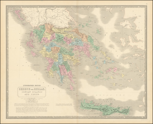
Edinburgh / 1850
Size:
21 x 14 inches
Condition:
VG+
Stock#:
103066
Place/Date:
London / 1851
Size:
9.5 x 13 inches
Condition:
VG+
Stock#:
88178
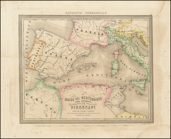
Place/Date:
Genova / 1855
Size:
13 x 11 inches
Condition:
VG+
Stock#:
91064
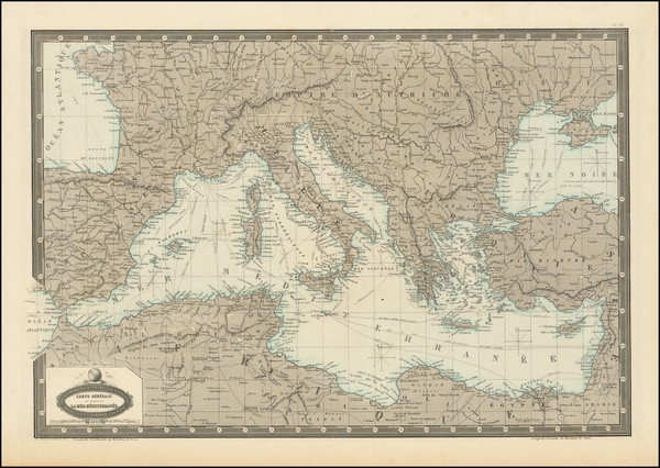
Place/Date:
Paris / 1860
Size:
20.5 x 14 inches
Condition:
VG+
Stock#:
87292
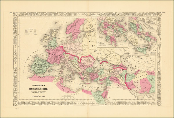
Place/Date:
New York / 1867
Size:
23 x 17 inches
Condition:
VG
Stock#:
74977
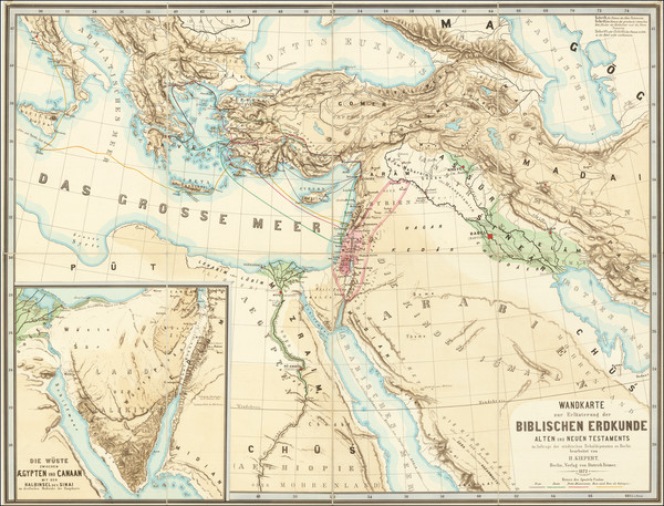
Place/Date:
Berlin / 1872
Size:
50 x 38 inches
Condition:
VG+
Stock#:
74614
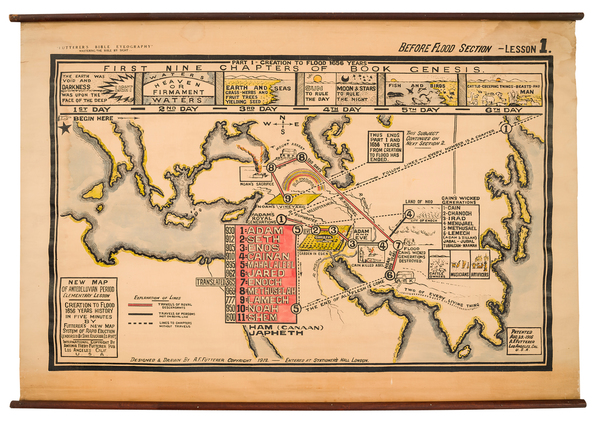
Place/Date:
Los Angeles / 1916
Size:
47.75 x 29.75 inches
Condition:
VG+
Stock#:
97021
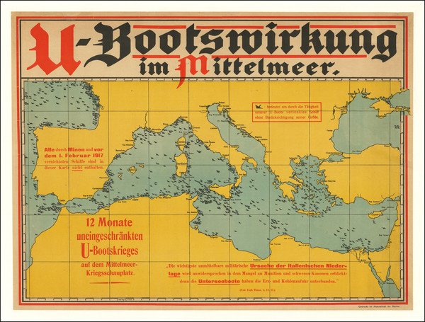
Place/Date:
Germany / 1917 circa
Size:
32.5 x 24.25 inches
Condition:
VG
Stock#:
77643
Place/Date:
n.p. / 1935 circa
Size:
23 x 17.5 inches
Condition:
VG+
Stock#:
62016
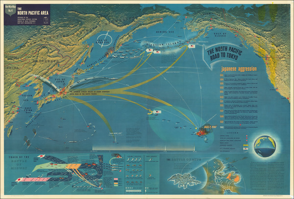
Place/Date:
Washington, D.C. / 1944
Size:
57 x 39 inches
Condition:
VG+
Stock#:
81971
Place/Date:
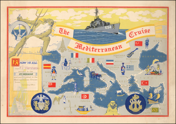
n.p. / 1952 circa
Size:
23 x 17.5 inches
Condition:
VG+
Stock#:
62896
Place/Date:
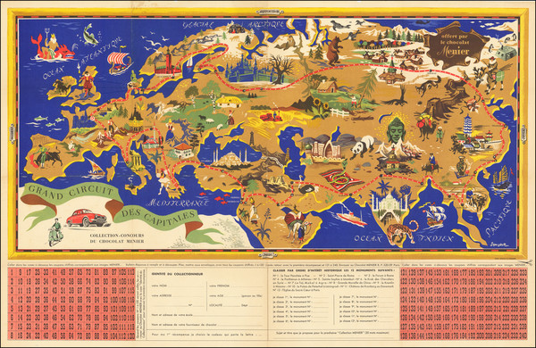
Paris / 1956
Size:
38 x 24.5 inches
Condition:
VG
Stock#:
70922rd
1956 original Jannot map showing Mediterranean.
Place/Date:
Naples / 1960 circa
Size:
23 x 15.5 inches
Condition:
VG
Stock#:
52425
1960 antique Seriart Naples map showing Mediterranean.
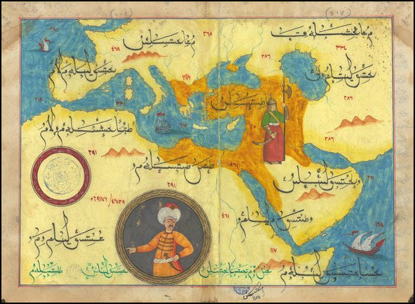
Place/Date:
n.p. [Turkey] / 1970 circa
Size:
13 x 9.25 inches
Condition:
VG
Stock#:
99654