|
||

|

|
|

|
Stock# 98813
Description
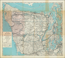
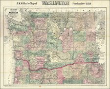
Survey map of Admiralty Inlet and Puget Sound, showing land elevations and water depths. Landmarks useful for mariners such as towers and spires, including the Space Needle, completed in 1961, are shown.
AtoNs (Aids to Navigation), such as lighthouses, buoys, and beacons, are marked as purple dots and have their lighting abbreviation, timing, and sound (horn, bell, diaphone), when applicable.
Condition Description
Minor wear at sheet edges. Publisher and reseller's ink stamps in the lower margin.