
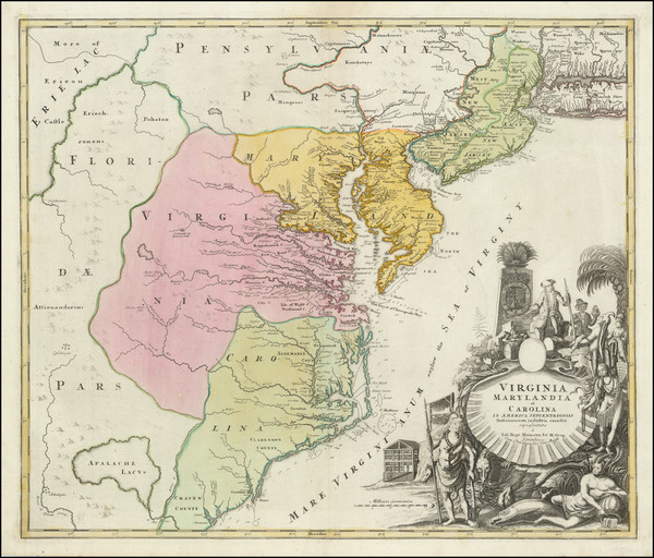
Search
Place/Date:
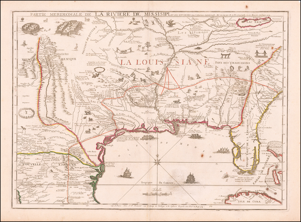
Paris / 1718
Size:
25 x 18.5 inches
Condition:
VG+
Stock#:
61193
1718 Antique Map of the Mississippi River Valley During French Colonial Era
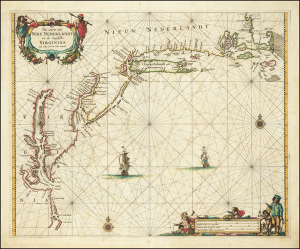
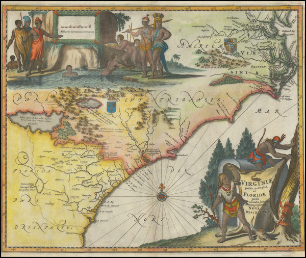
Place/Date:
Amsterdam / 1666
Size:
21 x 17 inches
Condition:
VG
Stock#:
66883op
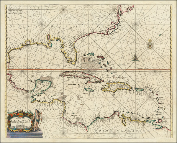
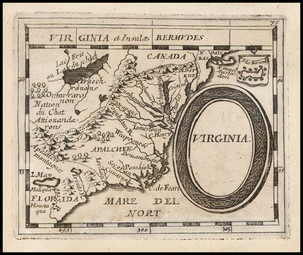
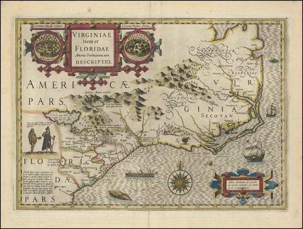
Place/Date:
Amsterdam / 1659
Size:
21.5 x 17 inches
Condition:
VG
Stock#:
81198
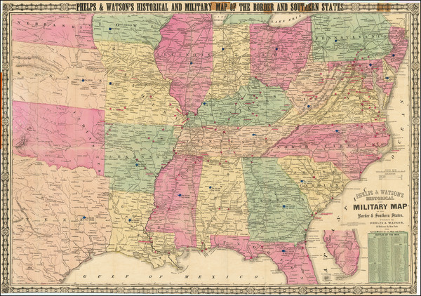
Place/Date:
New York / 1864
Size:
35.5 x 25 inches sheet size
Condition:
VG
Stock#:
101831

Place/Date:
Washington / 1856
Size:
30 x 24.5 inches
Condition:
VG
Stock#:
36619mb
United States Coast Survey's 1856 antique map showing the Southeast.
Place/Date:
Nuremberg / 1720
Size:
22 x 19 inches
Condition:
VG
Stock#:
104259
Antique map showing the Southeast by Homann made in 1720.
Place/Date:
London / 1702
Size:
40 x 23.5 inches
Condition:
VG+
Stock#:
98110
Place/Date:
Edinburgh / 1857
Size:
16 x 13 inches
Condition:
Stock#:
102830
Place/Date:
n.p. / 1650 circa
Size:
8 x 6.5 inches
Condition:
VG
Stock#:
44001
Antique map showing the Southeast by Anonymous, 1650.
Place/Date:
London / 1788
Size:
14 x 14.5 inches
Condition:
VG
Stock#:
79723
Place/Date:
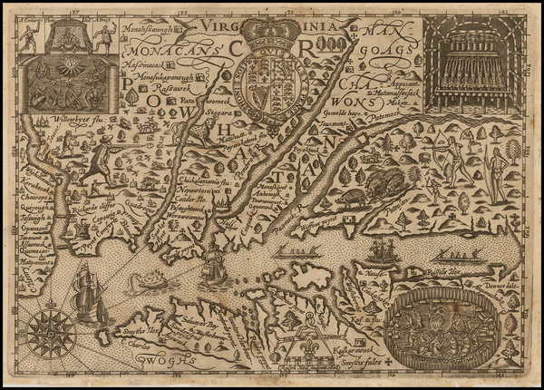
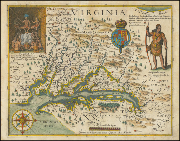
London / 1625
Size:
14 x 11.5 inches
Condition:
VG+
Stock#:
99112
Place/Date:
London / 1788
Size:
10.5 x 7 inches
Condition:
VG+
Stock#:
79679
Place/Date:
Edinburgh / 1854
Size:
20 x 16 inches
Condition:
VG
Stock#:
102969
Hall's 1636 antique map showing the Southeast.
Place/Date:
Nuremberg / 1681
Size:
5 x 4 inches
Condition:
VG
Stock#:
44123
Du Val / Hoffmann's 1681 rare map showing the Southeast.
Place/Date:
London / 1729
Size:
8 x 11 inches
Condition:
VG
Stock#:
93311
1729 antique Moll map showing the Southeast.
Place/Date:
Nuremberg / 1720
Size:
23 x 19.5 inches
Condition:
VG
Stock#:
93882
Place/Date:
Frankfurt / 1627
Size:
14.5 x 11.5 inches
Condition:
VG
Stock#:
103706
Place/Date:
Amsterdam / 1613 circa
Size:
19 x 13.5 inches
Condition:
VG
Stock#:
102929
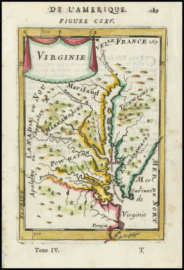
Place/Date:
London / 1671
Size:
14 x 11.5 inches
Condition:
VG
Stock#:
90277
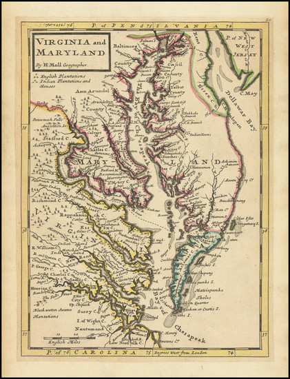
Place/Date:
Paris / 1683
Size:
4.5 x 6 inches
Condition:
VG+
Stock#:
91775

Place/Date:
Amsterdam / 1695 circa
Size:
39 x 32 inches
Condition:
VG
Stock#:
46848
17th Century Dutch Sea Chart on Vellum