
Search
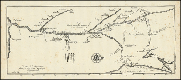
Place/Date:
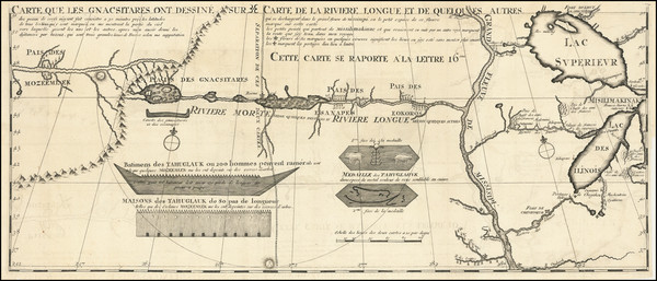
Paris ? / 1682 (1900 circa?)
Size:
15.5 x 6.5 inches
Condition:
VG
Stock#:
93571
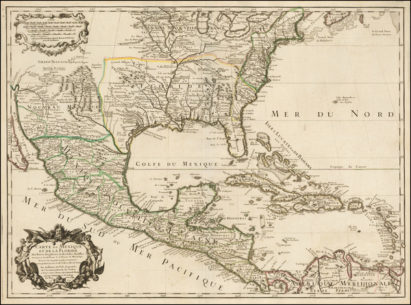
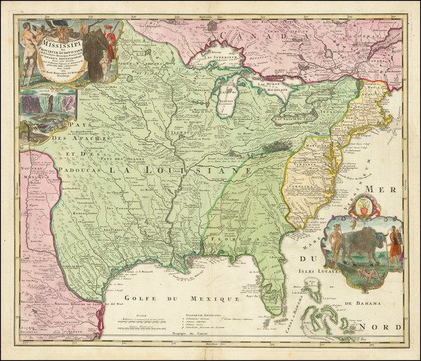
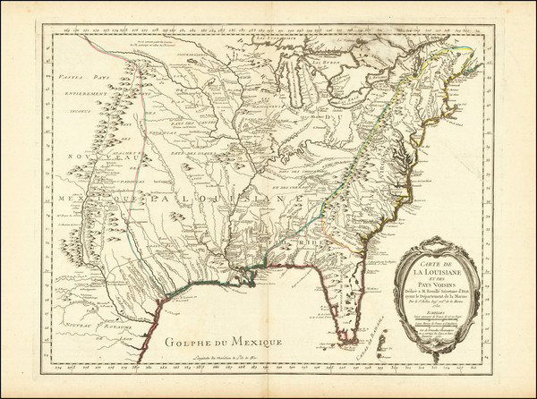
Place/Date:
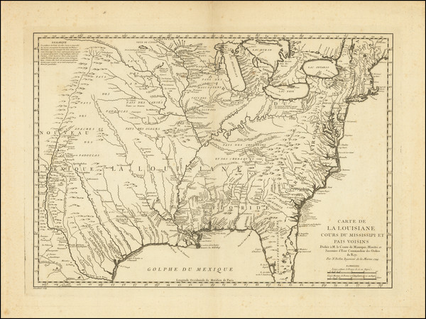
Paris / 1703
Size:
25.5 x 19 inches
Condition:
VG+
Stock#:
47103
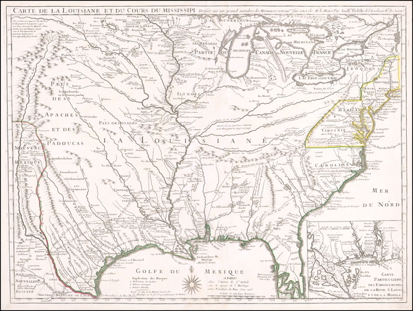
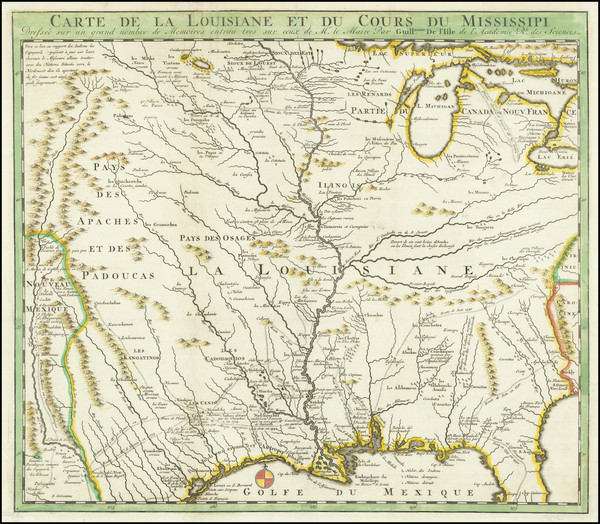
Delisle's 1703 antique map showing the Plains.
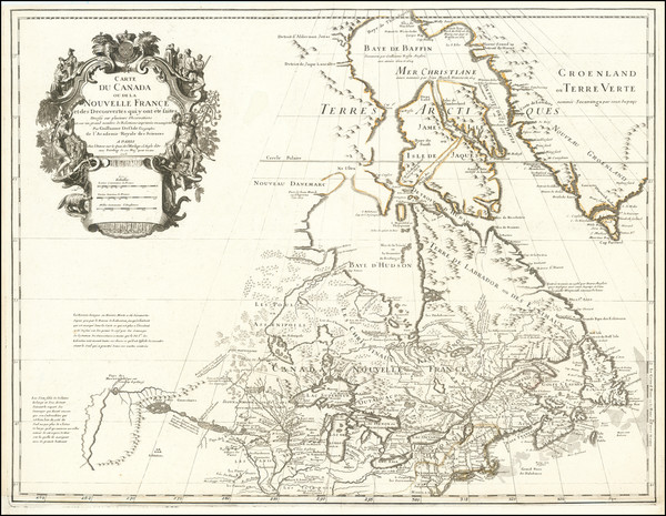
Place/Date:
Paris / 1703 (1708)
Size:
25.5 x 20 inches
Condition:
Good
Stock#:
92808
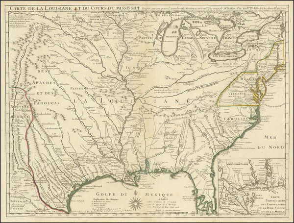
1703 antique Delisle map showing the Plains.
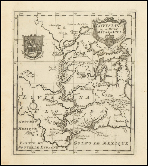
Place/Date:
Paris / 1703
Size:
12 x 9 inches
Condition:
VG
Stock#:
95884
Place/Date:
Paris / 1703
Size:
26.5 x 11 inches
Condition:
VG+
Stock#:
99919
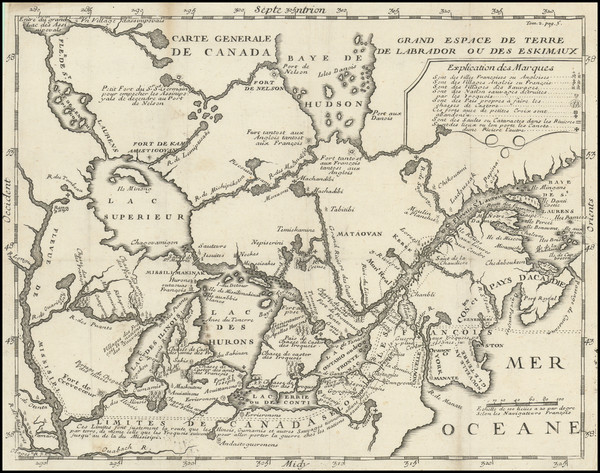
Place/Date:
Paris / 1718
Size:
25.5 x 19 inches
Condition:
VG+
Stock#:
59797
1718 rare Delisle map showing the Plains.
Place/Date:
Paris / 1718
Size:
26 x 19.5 inches
Condition:
VG
Stock#:
86312
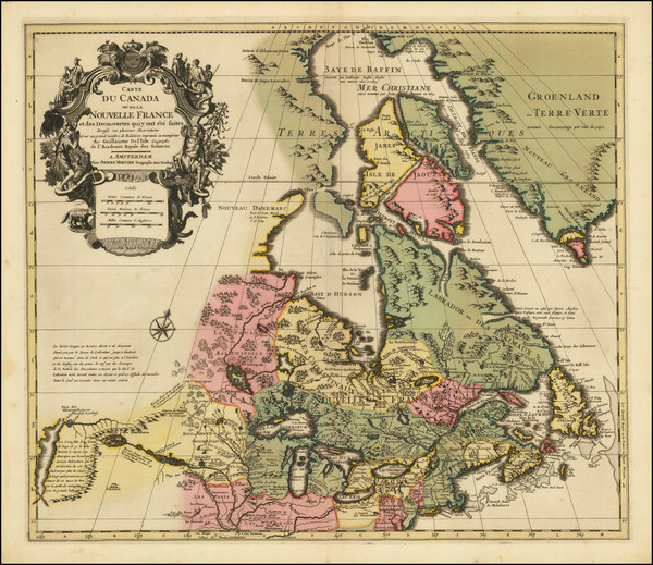
Place/Date:
Amsterdam / 1719
Size:
18 x 14 inches
Condition:
VG
Stock#:
100582
Place/Date:
Nuremberg / 1720
Size:
22.5 x 19 inches
Condition:
VG+
Stock#:
73950
Place/Date:
Amsterdam / 1720
Size:
16 x 14 inches
Condition:
VG
Stock#:
79683
Place/Date:
Amsterdam / 1720
Size:
6 x 7.25 inches
Condition:
VG+
Stock#:
99746
Place/Date:
Amsterdam / 1730 circa
Size:
22 x 19 inches
Condition:
VG+
Stock#:
94450
Place/Date:
Paris / 1741
Size:
11.5 x 4.5 inches
Condition:
VG
Stock#:
84108
Lahontan's 1741 antique map showing the Plains.
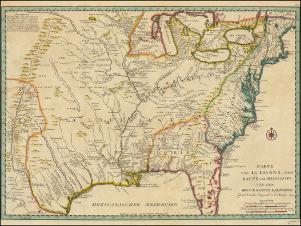
Place/Date:
Paris / 1744
Size:
22 x 15.5 inches
Condition:
VG+
Stock#:
84933
Place/Date:
Paris / 1749
Size:
6.5 x 8.5 inches
Condition:
VG+
Stock#:
73364
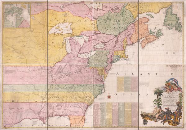
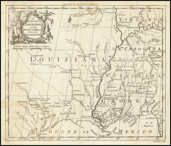
Place/Date:
London / 1755 - 1757
Size:
76 x 53 inches If Joined
Condition:
Good
Stock#:
60574dg
Mitchell's 1755 antique map showing the Plains.
Place/Date:
Paris / 1755
Size:
24 x 18.5 inches
Condition:
VG+
Stock#:
84872
Place/Date:
Leipzig / 1758
Size:
22 x 15.5 inches
Condition:
VG
Stock#:
97981
Place/Date:
London / 1760
Size:
8.5 x 7.5 inches
Condition:
VG
Stock#:
68964
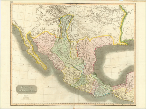
Place/Date:
Paris / 1783
Size:
25.5 x 20 inches
Condition:
VG
Stock#:
88103
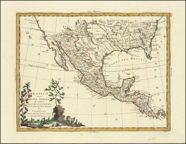
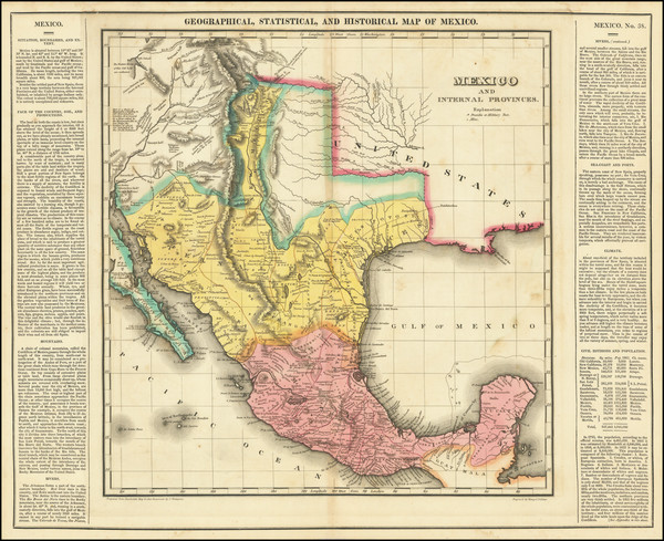
Messico ouvero Nuova Spagna che contiene Il Nuovo Messico La California Con Parte De'Paesi Adjacenti
Place/Date:
Venice / 1785
Size:
16 x 12 inches
Condition:
VG
Stock#:
91383
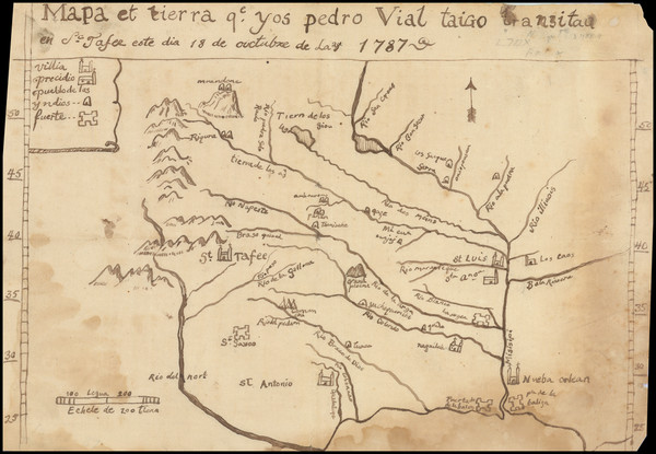
Place/Date:
n.p. / 1787 (but likely 20th Century)
Size:
11.5 x 8 inches
Condition:
Good
Stock#:
3645
Original map showing the Plains by Vial, 1787.
Place/Date:
Berlin / 1791
Size:
25 x 19 inches
Condition:
VG
Stock#:
41816dm
Forster's 1791 antique map showing the Plains.
Place/Date:
Paris / 1794
Size:
18.5 x 10 inches
Condition:
VG
Stock#:
98406
Place/Date:
London / 1796
Size:
25 x 21 inches
Condition:
VG
Stock#:
102173
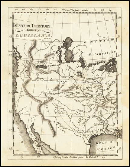
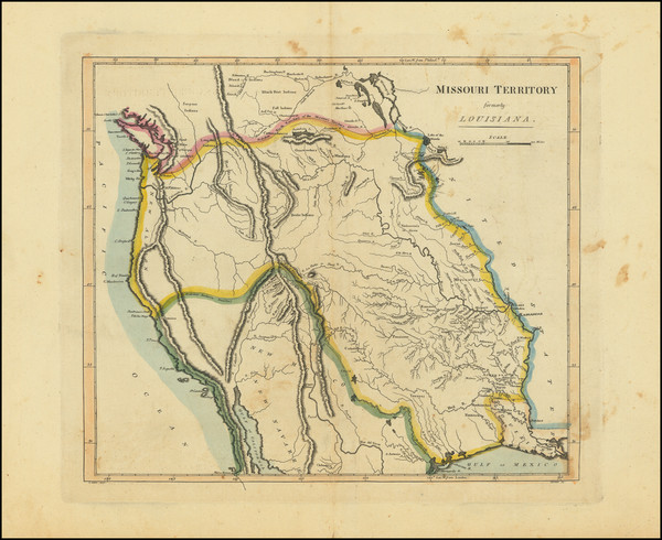
Place/Date:
Washington / 1804 (1904)
Size:
37 x 8 inches
Condition:
VG+
Stock#:
89337
Place/Date:
London / 1804
Size:
16 x 10 inches
Condition:
VG
Stock#:
95544
Place/Date:
Weimar / 1805
Size:
27 x 19 inches
Condition:
VG
Stock#:
63496
Place/Date:
Philadelphia / 1805
Size:
6 x 7.5 inches
Condition:
VG+
Stock#:
83278
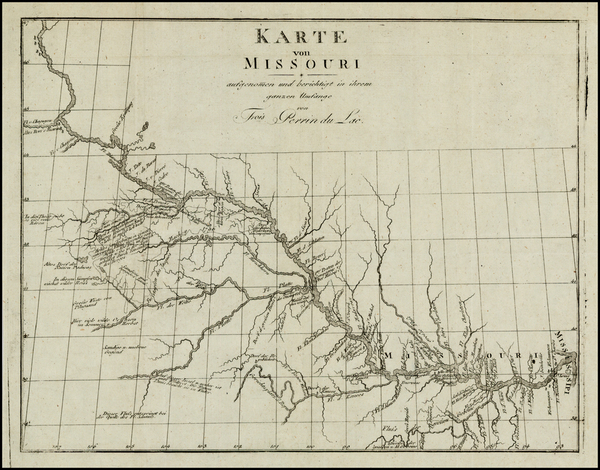
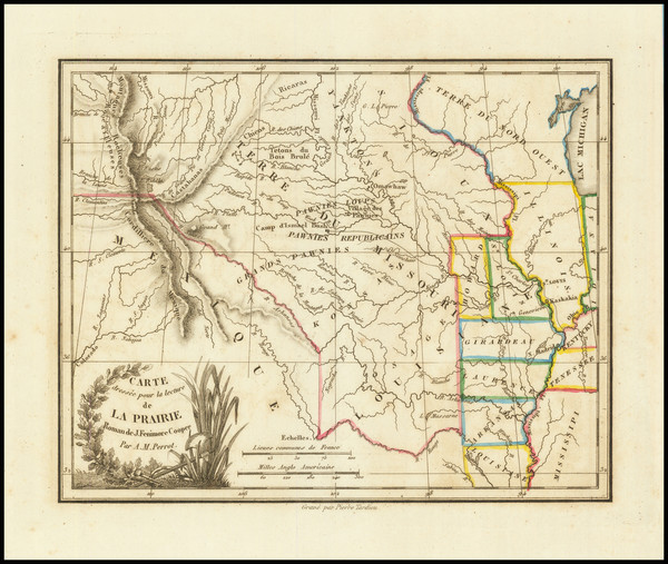
Place/Date:
Leipzig / 1807
Size:
13 x 10 inches
Condition:
VG+
Stock#:
25308
Original map showing the Plains by Perrin du Lac, 1807.
Place/Date:
Philadelphia / 1810
Size:
15 x 17.5 inches
Condition:
VG
Stock#:
73229
Place/Date:
Philadelphia / 1810
Size:
29.25 x 9 inches
Condition:
VG+
Stock#:
81745
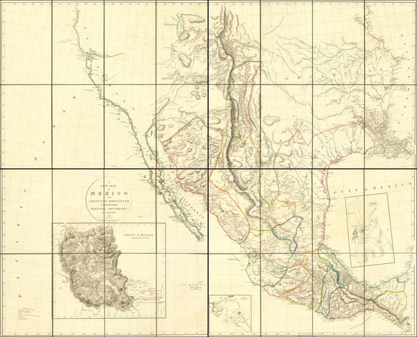
Place/Date:
London / 1810
Size:
31.5 x 25.5 inches per sheet (four sheets total)
Condition:
VG+
Stock#:
95013
Place/Date:
Philadephia / 1811
Size:
27.75 x 20 inches
Condition:
VG
Stock#:
100623
Place/Date:
Paris / 1811
Size:
28.5 x 17 inches
Condition:
VG
Stock#:
100976
Place/Date:
Philadelphia / 1814
Size:
5.5 x 7.5 inches
Condition:
VG+
Stock#:
62979
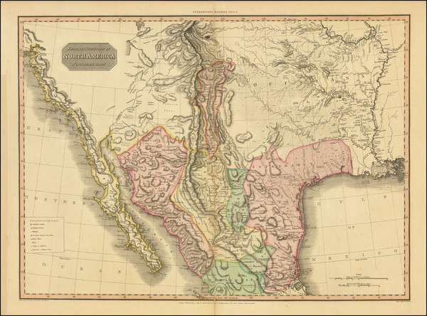
Place/Date:
Edinburgh / 1814
Size:
24.5 x 20 inches
Condition:
VG
Stock#:
97772
Place/Date:
Philadelphia / 1814
Size:
14 x 12 inches
Condition:
VG
Stock#:
103474
Carey's 1814 antique map showing the Plains.
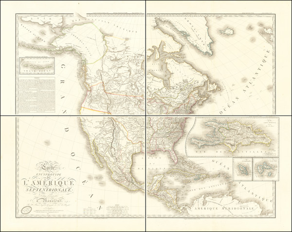
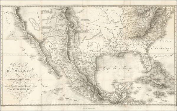
Place/Date:
Paris / 1815 (1819)
Size:
48 x 42 inches (if joined)
Condition:
VG+
Stock#:
69077
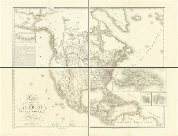
Place/Date:
Paris / 1815
Size:
48 x 42 inches (if joined)
Condition:
VG+
Stock#:
104664
Place/Date:
Weimar / 1817
Size:
27 x 19 inches
Condition:
VG+
Stock#:
59153
Rare map showing the Plains by Gussefeld made in 1817.
Place/Date:
Philadelphia / 1822 circa
Size:
20.5 x 16.5 inches
Condition:
VG
Stock#:
104972
Place/Date:
Philadelphia / 1822
Size:
20.5 x 16.5 inches
Condition:
VG
Stock#:
104997
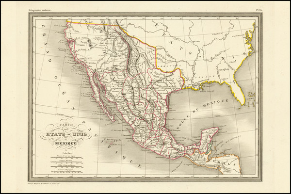
Place/Date:
Paris / 1835
Size:
5.5 x 6.5 inches
Condition:
VG+
Stock#:
86050
Place/Date:
Paris / 1835
Size:
13 x 9 inches
Condition:
VG+
Stock#:
104421
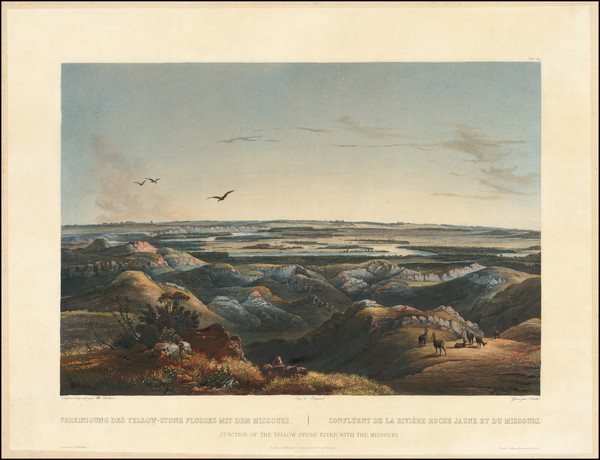
Place/Date:
London / 1837
Size:
11.5 x 9.5 inches
Condition:
VG
Stock#:
32666
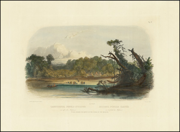
Antique map showing the Plains by Bodmer, 1837.
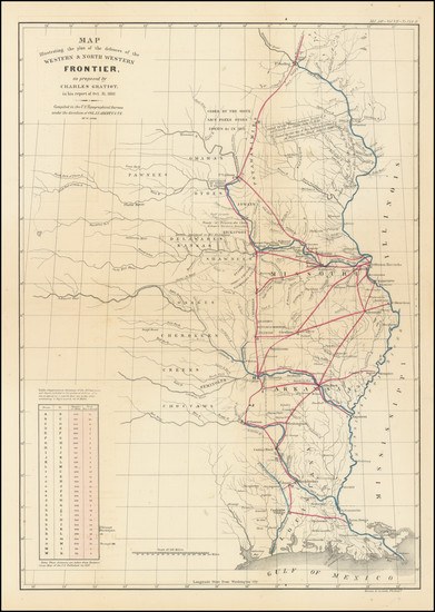
Place/Date:
Washington / 1837
Size:
15 x 21.5 inches
Condition:
VG
Stock#:
102750

Place/Date:
London (Leipzig?) / 1839 circa [but circa 1922]
Size:
12 x 9 inches
Condition:
VG
Stock#:
77702
Place/Date:
New York / 1841
Size:
15.5 x 19.5 inches Map
Condition:
Good
Stock#:
101836
Place/Date:
Paris, Coblenz and London / 1844 (1900 ca)
Size:
12.5 x 9 inches
Condition:
VG+
Stock#:
77699