
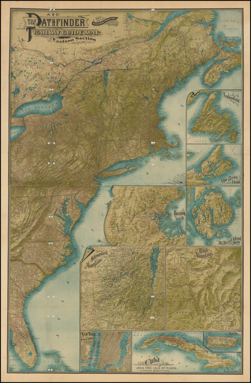
Search
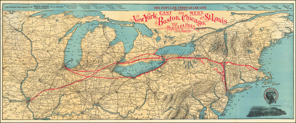
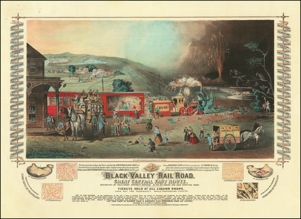
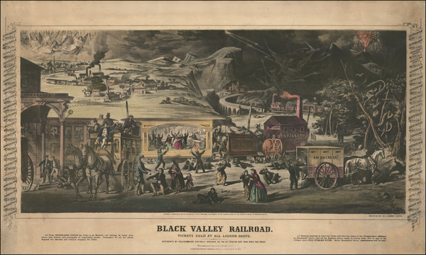
Place/Date:
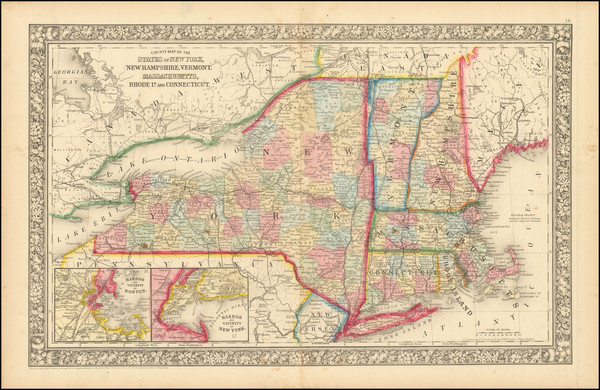
New York / 1901
Size:
39 x 15.5 inches
Condition:
VG
Stock#:
92665
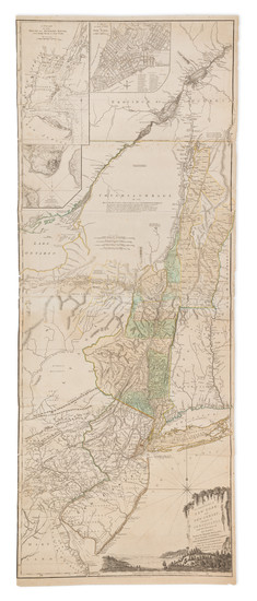
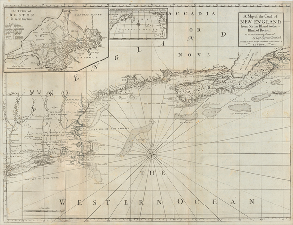
Place/Date:
Boston / 1794 (1801)
Size:
32 x 20 inches
Condition:
VG
Stock#:
26305
1794 rare Norman map showing New England.

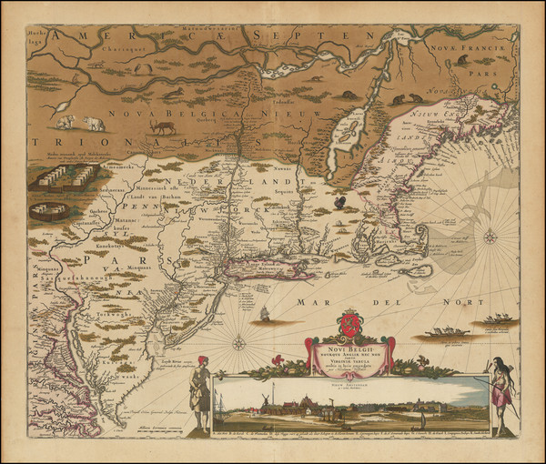
Place/Date:
Amsterdam / 1695 circa
Size:
39 x 32 inches
Condition:
VG
Stock#:
46848
17th Century Dutch Sea Chart on Vellum
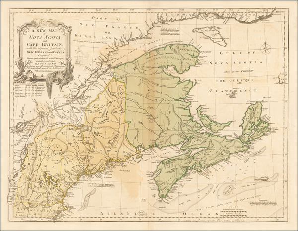
Place/Date:
Amsterdam / 1640 circa
Size:
20 x 15.5 inches
Condition:
VG+
Stock#:
91974

Place/Date:
London / 1802
Size:
9.5 x 7.25 inches
Condition:
VG
Stock#:
95082
Place/Date:
London / 1754
Size:
10 x 8 inches
Condition:
VG
Stock#:
90978
Place/Date:
Augsburg / 1757 circa
Size:
22.5 x 19.5 inches
Condition:
Good
Stock#:
63924
Original map showing New England by Lotter, 1757.
Place/Date:
Augsburg / 1777 circa
Size:
19 x 20 inches
Condition:
VG+
Stock#:
91964
1777 antique Lotter map showing New England.
Place/Date:
London / 1776
Size:
10.5 x 17 inches (book size)
Condition:
VG+
Stock#:
100077
Place/Date:
London / 1755
Size:
24 x 18.5 inches
Condition:
VG
Stock#:
51712
1755 antique Jefferys map showing New England.
Place/Date:
London / 1775
Size:
24.5 x 18.5 inches
Condition:
VG
Stock#:
81952
Place/Date:
London / 1779
Size:
8.5 x 12 inches
Condition:
VG
Stock#:
83450
Place/Date:
Braunschweig / 1778
Size:
11.7 x 14.8 inches (map size)
Condition:
VG
Stock#:
84175
Place/Date:
Frankfurt / 1591
Size:
6.5 x 9 inches Image Only
Condition:
VG
Stock#:
99837
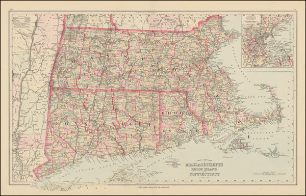
Place/Date:
Boston / 1863
Size:
22 x 15 inches (including text)
Condition:
VG+
Stock#:
83100
Place/Date:
Boston & New York / 1865
Size:
39.5 x 22 inches including text
Condition:
VG
Stock#:
101469
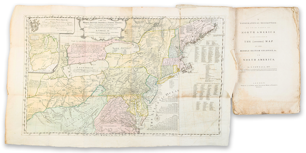
Place/Date:
London / 1776
Size:
20.5 x 43.5 inches Each Sheet
Condition:
Good
Stock#:
91422
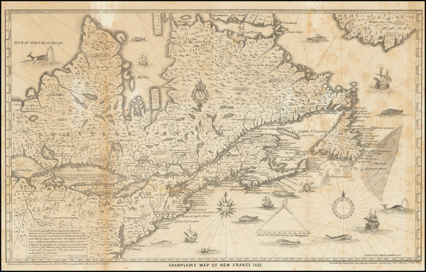
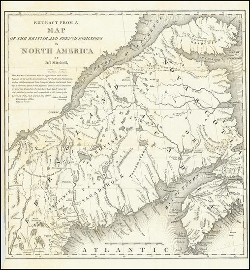
Place/Date:
Albany, NY / 1632 (1850)
Size:
17 x 10.5 inches
Condition:
VG
Stock#:
83894
Place/Date:
Philadelphia / 1862
Size:
21 x 13.25 inches
Condition:
VG+
Stock#:
94930

Place/Date:
Philadelphia / 1879
Size:
21 x 13.5 inches
Condition:
VG
Stock#:
101122
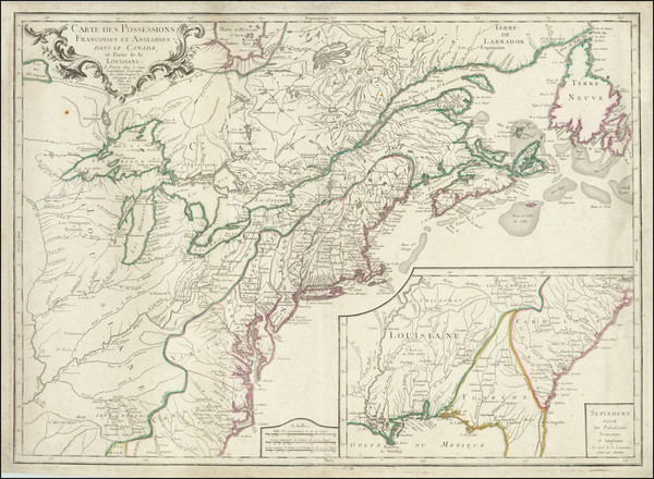
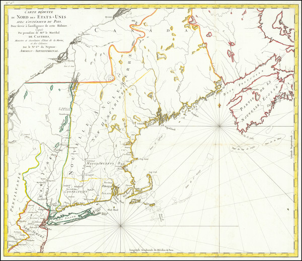
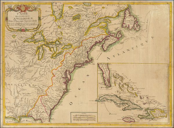
Place/Date:
Paris / 1756
Size:
30 x 21.5 inches
Condition:
VG
Stock#:
94026
Place/Date:
New York / 1838
Size:
13 x 13.5 inches
Condition:
VG+
Stock#:
78205
Place/Date:
London / 1775
Size:
21 x 18 inches
Condition:
VG
Stock#:
37758ops
1775 original Sayer & Bennett map showing New England.
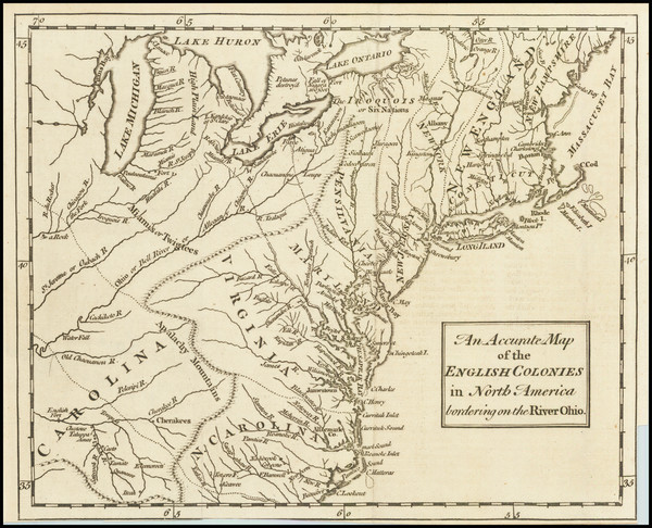
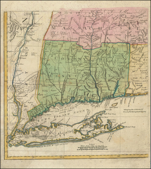
Place/Date:
London / 1685 (1715 ca)
Size:
21.5 x 18 inches
Condition:
VG+
Stock#:
60306op
Original map showing New England by Morden / Lea / Willdey / Thornton made in 1685.

Place/Date:
Paris / 1787
Size:
13 x 9.5 inches
Condition:
VG
Stock#:
81627
Place/Date:
Paris / 1787
Size:
12.5 x 8.5 inches
Condition:
VG
Stock#:
103571
Place/Date:
London / 1782
Size:
14.5 x 11 inches
Condition:
VG+
Stock#:
89228
Place/Date:
Leiden / 1714
Size:
12 x 9 inches
Condition:
VG+
Stock#:
84832
Place/Date:
Leiden / 1715
Size:
9 x 6 inches
Condition:
VG+
Stock#:
92418
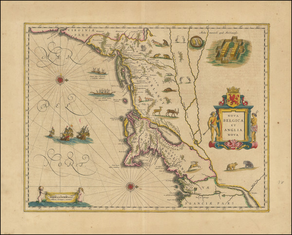
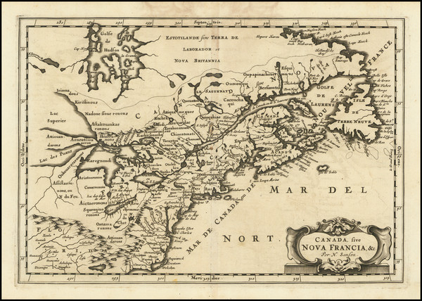
Place/Date:
Amsterdam / 1666
Size:
21 x 17 inches
Condition:
VG
Stock#:
66883op
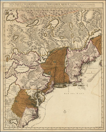
Place/Date:
Amsterdam / 1696
Size:
22.5 x 34.5 inches
Condition:
VG
Stock#:
99328
Place/Date:
Paris / 1670 circa
Size:
21.5 x 14 inches
Condition:
VG+
Stock#:
67805
155
Place/Date:
Paris / 1788
Size:
22.75 x 19.5 inches
Condition:
VG+
Stock#:
79734
Place/Date:
Philadelphia / 1876
Size:
25 x 15.5 inches
Condition:
VG+
Stock#:
101133
Place/Date:
Frankfurt / 1679
Size:
12 x 8.25 inches
Condition:
VG
Stock#:
97902
Place/Date:
Amsterdam / 1696
Size:
23 x 18.5 inches
Condition:
Good
Stock#:
75875
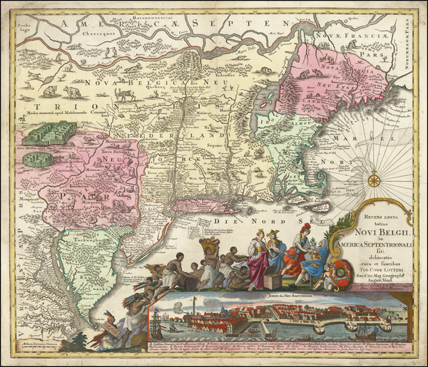
Place/Date:
Amsterdam / 1656 (1684)
Size:
22 x 18.5 inches
Condition:
VG
Stock#:
85388
Place/Date:
Boston / 1901
Size:
28 x 42.5 inches
Condition:
Good
Stock#:
87611
Place/Date:
London / 1777 circa
Size:
31.5 x 24 inches
Condition:
Good
Stock#:
53739
Antique map showing New England by Mount & Page / Southack, 1777.

Place/Date:
Paris / 1798
Size:
17 x 12.5 inches
Condition:
VG+
Stock#:
95163

Place/Date:
Philadelphia / 1795
Size:
15 x 10 inches
Condition:
Good
Stock#:
98707

Place/Date:
Augsburg / 1777
Size:
22 x 28.5 inches
Condition:
VG
Stock#:
58857
Rare map showing New England by Lotter, 1777.
Place/Date:
Paris / 1777
Size:
28.5 x 21 inches
Condition:
VG
Stock#:
89535
Place/Date:
London / 1794
Size:
26 x 19 inches
Condition:
VG
Stock#:
45177
Antique map showing New England by Laurie & Whittle, 1794.
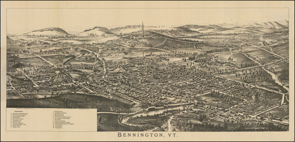
Place/Date:
Troy, New York / 1890 circa
Size:
29.5 x 15 inches
Condition:
VG+
Stock#:
93021
1890 antique Burleigh map showing New England.

Place/Date:
Amsterdam / 1684 circa
Size:
21.5 x 18.5 inches
Condition:
VG
Stock#:
93874
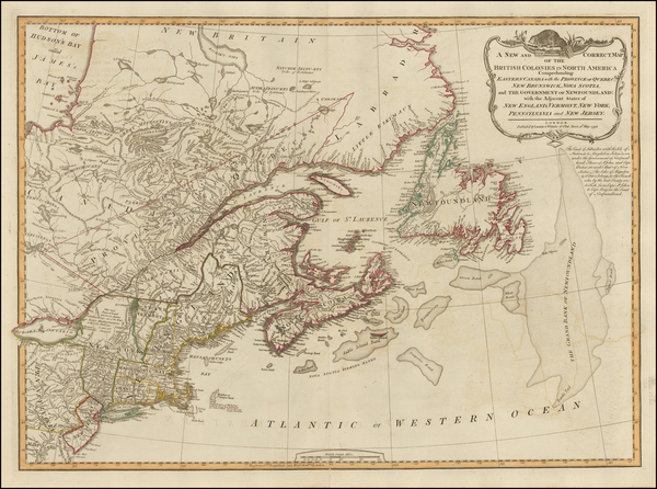
Place/Date:
London / 1776
Size:
41 x 29 inches
Condition:
VG
Stock#:
50079
Antique map showing New England by Des Barres, 1776.
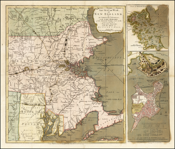
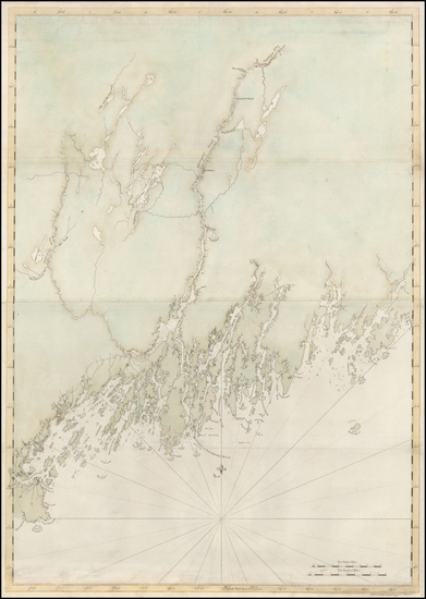
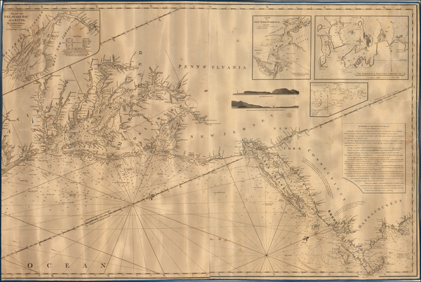
Place/Date:
London / 1776
Size:
29.5 x 41.5 inches
Condition:
VG
Stock#:
63672
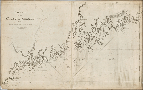
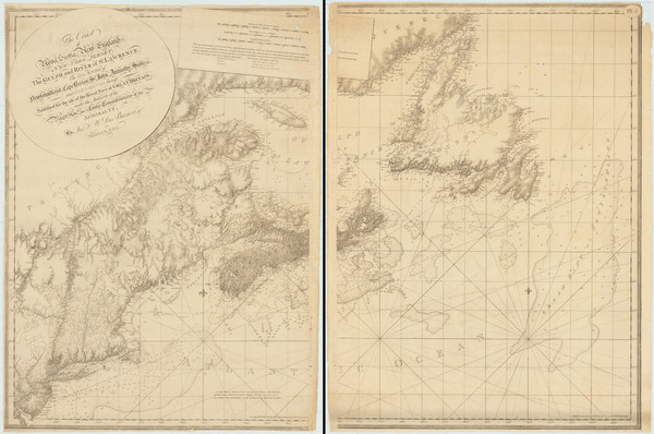
1776 Antique Sea Chart of the Coast of New England
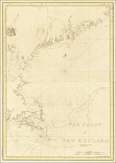
Place/Date:
London / 1780
Size:
46 x 32.3 inches (if joined)
Condition:
Good
Stock#:
69631
Place/Date:
London / 1830 circa
Size:
47 x 31.5 inches
Condition:
VG+
Stock#:
55819
Norie's 1830 rare map showing New England.