
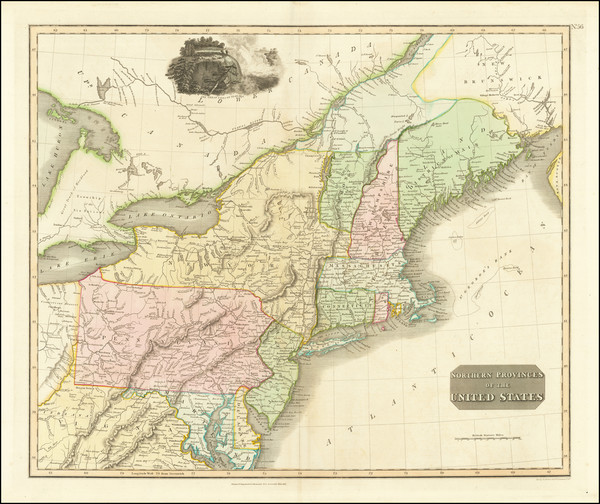
Search
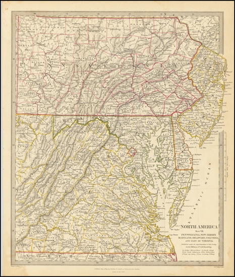
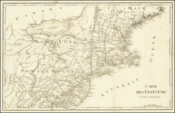
Place/Date:
London / 1844
Size:
13 x 15 inches
Condition:
VG+
Stock#:
76586

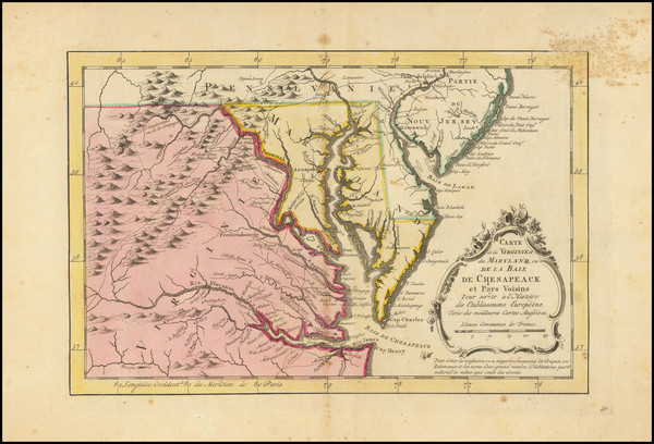
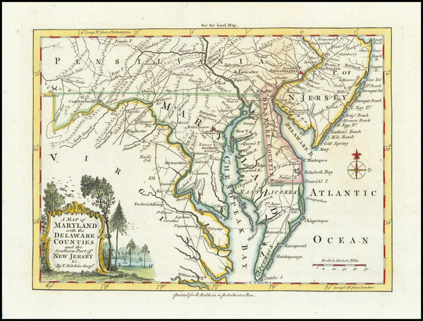
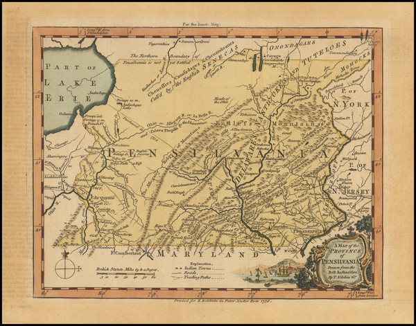
Place/Date:
London / 1802
Size:
9.5 x 7.25 inches
Condition:
VG
Stock#:
95082
Place/Date:
New York / 1891 - 1895
Size:
27 x 16.25 inches
Condition:
VG
Stock#:
97072
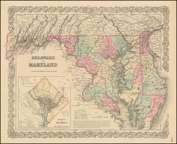
Place/Date:
New York / 1855
Size:
16 x 13 inches
Condition:
VG
Stock#:
78692
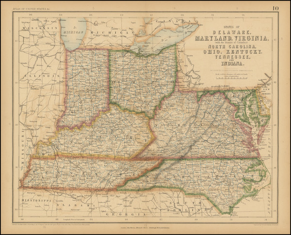
Place/Date:
Edinburgh / 1857
Size:
16 x 13 inches
Condition:
Stock#:
102830
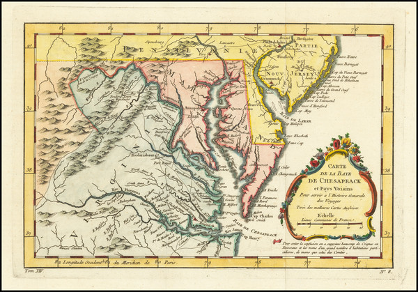
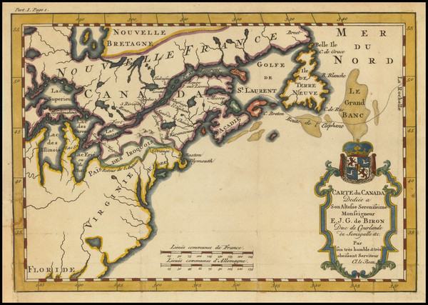
Place/Date:
Paris / 1787
Size:
12.5 x 8.5 inches
Condition:
VG
Stock#:
103571

Place/Date:
Washington, DC / 1871 circa
Size:
28.5 x 8 inches
Condition:
VG
Stock#:
38475mb
U.S. Army Corps of Engineers's 1871 antique map showing the Mid-Atlantic.

Place/Date:
New York / 1859
Size:
16 x 13 inches
Condition:
VG
Stock#:
88159
1859 antique Colton map showing the Mid-Atlantic.
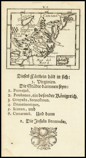
Place/Date:
Stockhol / 1702 circa
Size:
5 x 6.5 inches
Condition:
VG
Stock#:
79459
Place/Date:
London / 1798
Size:
18.5 x 16 inches
Condition:
VG
Stock#:
81546
Place/Date:
Paris / 1683
Size:
4.5 x 6 inches
Condition:
VG+
Stock#:
91775
Place/Date:
Paris / 1683
Size:
4.5 x 6 inches
Condition:
VG+
Stock#:
97657
Mallet's 1683 antique map showing the Mid-Atlantic.

Place/Date:
Washington / 1863
Size:
27 x 23.5 inches
Condition:
VG
Stock#:
47081
Original map showing the Mid-Atlantic by United States Coast Survey made in 1863.

Place/Date:
Hamburg / 1688
Size:
7 x 12 inches (with text0
Condition:
VG
Stock#:
94087
Place/Date:
New York / 1856
Size:
16 x 13 inches
Condition:
VG
Stock#:
96145

Place/Date:
Paris / 1748
Size:
6.5 x 7.5 inches
Condition:
VG+
Stock#:
99262
Place/Date:
Paris / 1773
Size:
12 x 8 inches
Condition:
VG+
Stock#:
99743

Place/Date:
London / 1818
Size:
28 x 20 inches
Condition:
VG
Stock#:
46588
Pinkerton's 1818 original map showing the Mid-Atlantic.
Place/Date:
Amsterdam / 1719
Size:
22 x 18 inches
Condition:
VG
Stock#:
61480
Place/Date:
Paris / 1799
Size:
20 x 13 inches
Condition:
VG
Stock#:
73326rd
Place/Date:
Amsterdam / 1770
Size:
12 x 8 inches
Condition:
Good
Stock#:
100968
Krevelt's 1770 rare map showing the Mid-Atlantic.
Place/Date:
Paris / 1757
Size:
11.5 x 7.5 inches
Condition:
VG+
Stock#:
76325
Bellin's 1757 rare map showing the Mid-Atlantic.
Place/Date:
Frankfurt / 1692
Size:
3 x 2.5 inches
Condition:
VG
Stock#:
71479
Place/Date:
London / 1779
Size:
8.5 x 12 inches
Condition:
VG
Stock#:
83450
Place/Date:
London / 1776
Size:
9 x 7 inches
Condition:
VG+
Stock#:
86066
Place/Date:
London / 1758
Size:
3.75 x 2.5 inches
Condition:
VG+
Stock#:
98228
Place/Date:
London / 1758
Size:
3.75 x 2.5 inches
Condition:
VG+
Stock#:
98229
Place/Date:
London / 1757
Size:
9 x 6.5 inches
Condition:
VG+
Stock#:
82894
Place/Date:
Edinburgh / 1814
Size:
23 x 19.5 inches
Condition:
VG
Stock#:
83869
Place/Date:
London / 1795
Size:
12 x 8.5 inches
Condition:
VG+
Stock#:
89227
Place/Date:
New York / 1901
Size:
39 x 15.5 inches
Condition:
VG
Stock#:
92665
Place/Date:
Nuremberg / 1745
Size:
22 x 19 inches
Condition:
VG+
Stock#:
60331
Homann Heirs's 1745 original map showing the Mid-Atlantic.
Place/Date:
London / 1755
Size:
8 x 5.5 inches
Condition:
VG
Stock#:
81587

Place/Date:
New York / 1875
Size:
39 x 24 inches
Condition:
Good
Stock#:
80633
Place/Date:
London / 1769
Size:
5 x 7 inches
Condition:
VG
Stock#:
102599

Place/Date:
London / 1861
Size:
24.5 x 28 inches
Condition:
VG+
Stock#:
96007

Place/Date:
Edinburgh / 1767
Size:
10 x 8 inches
Condition:
VG+
Stock#:
98156

Place/Date:
Madrid / 1826
Size:
36.5 x 24.5 inches
Condition:
VG
Stock#:
48746
Direccion Hidrografica de Madrid's 1826 rare map showing the Mid-Atlantic.
Place/Date:
London / 1754
Size:
10 x 8 inches
Condition:
VG
Stock#:
90978
Place/Date:
London / 1777
Size:
11.5 x 14.5 inches
Condition:
VG
Stock#:
94252
Place/Date:
Bamberg / 1852
Size:
21.5 x 29 inches
Condition:
VG
Stock#:
48081
Antique map showing the Mid-Atlantic by Buchnerschen Buchhandlung, 1852.
Place/Date:
Amsterdam / 1688
Size:
6.5 x 6.5 inches
Condition:
VG
Stock#:
69405
Place/Date:
London / 1598
Size:
13.5 x 10.5 inches
Condition:
VG+
Stock#:
78964
Place/Date:
London / 1756
Size:
8.5 x 7 inches
Condition:
VG
Stock#:
98226
Place/Date:
London / 1830 circa
Size:
47 x 31.5 inches
Condition:
VG+
Stock#:
55819
Norie's 1830 rare map showing the Mid-Atlantic.
Place/Date:
London / 1794
Size:
18 x 12 inches
Condition:
VG
Stock#:
47362
Conder's 1794 rare map showing the Mid-Atlantic.
Place/Date:
Paris / 1738
Size:
9 x 6 inches
Condition:
VG+
Stock#:
91075
Place/Date:
Leiden / 1715
Size:
9 x 6 inches
Condition:
VG+
Stock#:
92418
Place/Date:
Paris / 1755
Size:
24.5 x 19 inches
Condition:
VG
Stock#:
93097
Place/Date:
London / 1729
Size:
8 x 11 inches
Condition:
VG
Stock#:
93311
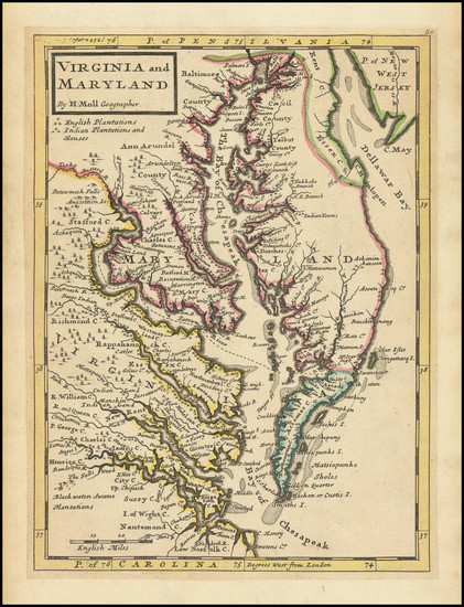
1729 antique Moll map showing the Mid-Atlantic.