
Search
Rare and antique maps of Northern Germany including the states of Bremen, Hamburg, Mecklenburg-Vorpommern, Lower Saxony, and Schleswig-Holstein.

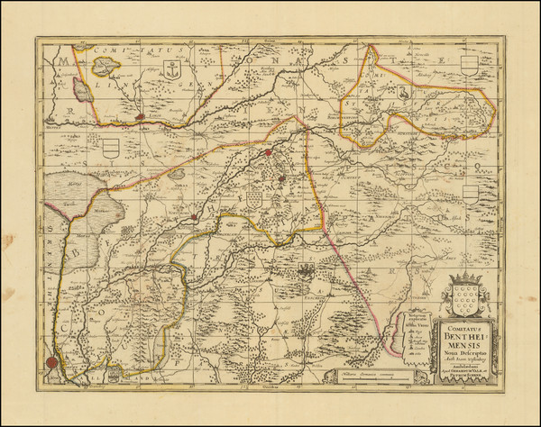
Place/Date:
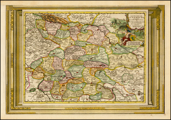
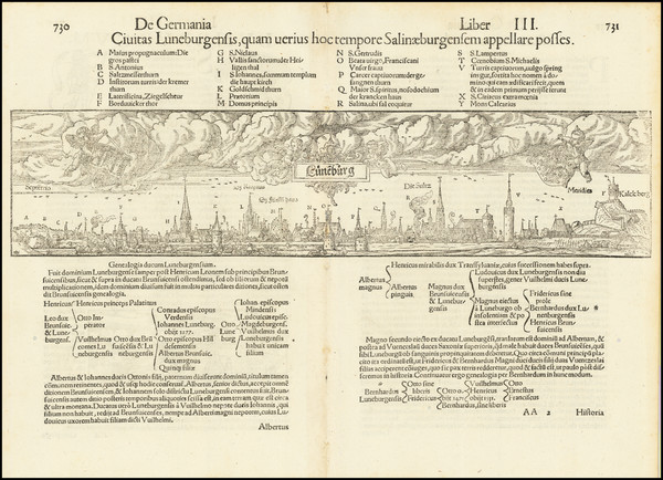
Hildesheim / 1745
Size:
21.5 x 19.5 inches
Condition:
VG
Stock#:
67680

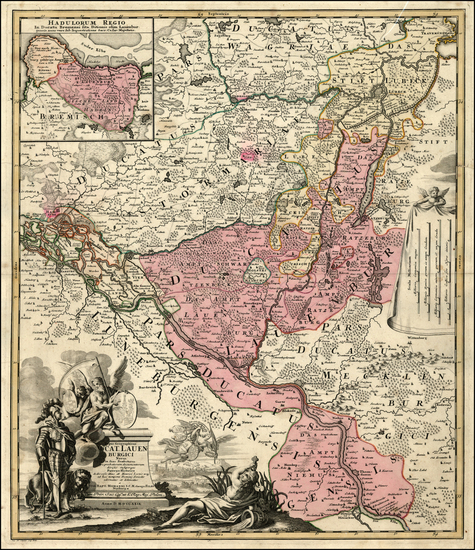
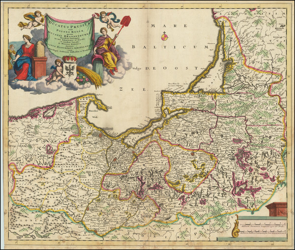
Place/Date:
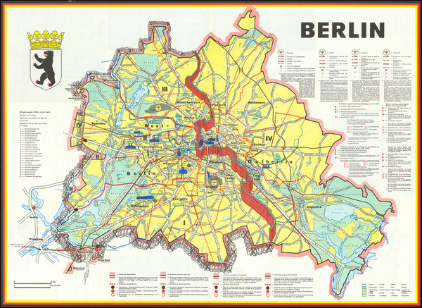
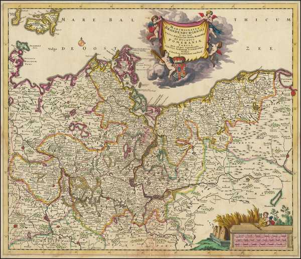
Berlin? / 1724
Size:
21 x 27 inches
Condition:
VG
Stock#:
67150
Place/Date:
Amsterdam / 1640 circa
Size:
21 x 15 inches
Condition:
VG+
Stock#:
67743

Place/Date:
Amsterdam / 1640 circa
Size:
14.5 x 19 inches
Condition:
VG+
Stock#:
49022
Rare map showing Norddeutschland by Jansson, 1640.
Place/Date:
Paris / 1644
Size:
21 x 15 inches
Condition:
VG
Stock#:
48927
1644 antique Boisseau map showing Norddeutschland.
Place/Date:
Paris / 1760
Size:
28 x 20.25 inches
Condition:
VG
Stock#:
92081
Place/Date:
Paris / 1759
Size:
19.5 x 23 inches
Condition:
VG+
Stock#:
92563
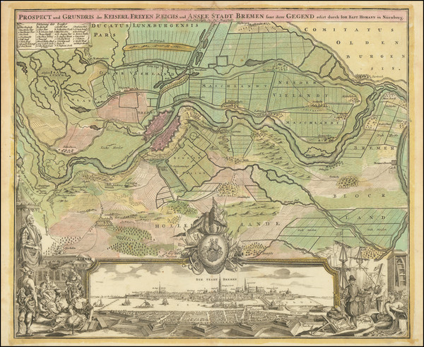
Place/Date:
Nuremberg / 1729
Size:
23 x 19 inches
Condition:
VG
Stock#:
21246
Homann's 1729 antique map showing Norddeutschland.
Place/Date:
Nuremberg / 1720
Size:
23 x 19.5 inches
Condition:
VG
Stock#:
96961

Place/Date:
London / 1799
Size:
20.5 x 18 inches
Condition:
VG+
Stock#:
91881
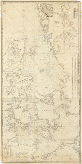
Place/Date:
London / 1790
Size:
30.5 x 62 inches
Condition:
Good
Stock#:
69673

Place/Date:
Edinburgh / 1817
Size:
24 x 19 inches
Condition:
VG
Stock#:
72115
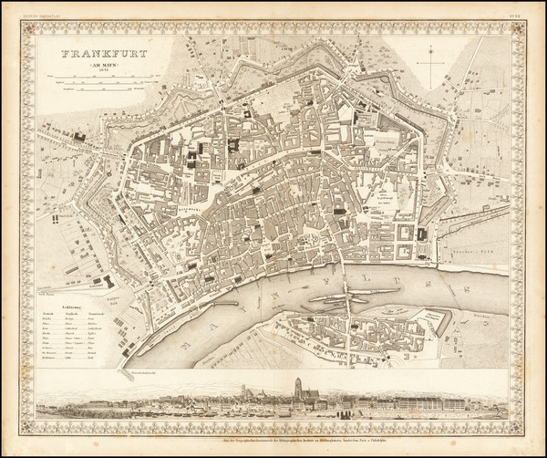
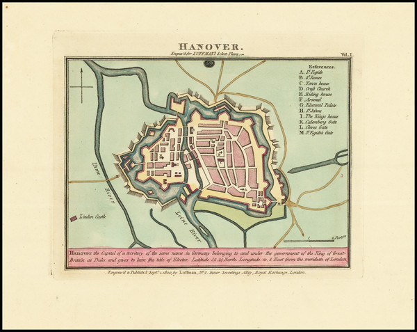
Place/Date:
Hildburghausen / 1845
Size:
16 x 13.5 inches
Condition:
VG+
Stock#:
65922
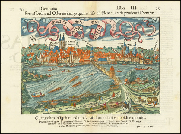
Antique map of Frankfurt
Place/Date:
Amsterdam / 1695 circa
Size:
23.5 x 19.5 inches
Condition:
VG
Stock#:
91157
Rare map showing Norddeutschland by Danckerts made in 1695.
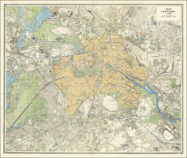
Place/Date:
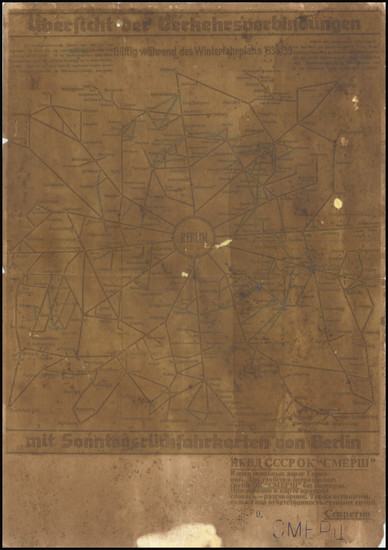
Leningrad (?) / 1945
Size:
39 x 32 inches
Condition:
VG
Stock#:
68524
Place/Date:
London / 1760
Size:
9.5 x 7.5 inches
Condition:
VG
Stock#:
80052

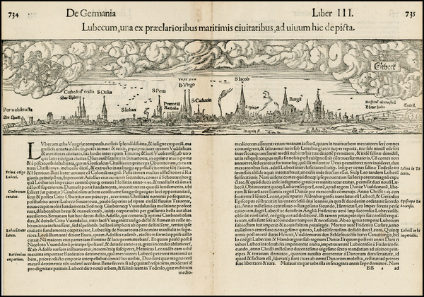
Place/Date:
London / 1588
Size:
20 x 13 inches
Condition:
VG
Stock#:
48037
1588 antique Waghenaer / Ashley map showing Norddeutschland.

Place/Date:
Augsburg / 1740 circa
Size:
22.5 x 19.5 inches
Condition:
VG
Stock#:
87548
Place/Date:
Augsburg / 1758 circa
Size:
22.5 x 19.5 inches
Condition:
VG+
Stock#:
97006
Place/Date:
Cologne / 1592
Size:
11 x 7.5 inches
Condition:
VG
Stock#:
55667
Quad / Bussemacher's 1592 original map showing Norddeutschland.
Place/Date:
Cologne / 1592 circa
Size:
11 x 7.5 inches
Condition:
VG
Stock#:
55765
1592 antique Quad / Bussemacher map showing Norddeutschland.
Place/Date:
Cologne / 1592 circa
Size:
11 x 7.5 inches
Condition:
VG
Stock#:
55815
1592 antique Quad / Bussemacher map showing Norddeutschland.

Place/Date:
New York / 1961
Size:
34.5 x 44.5 inches
Condition:
VG+
Stock#:
59512
Antique map showing Norddeutschland by Newsweek, 1961.

Place/Date:
Paris / 1716
Size:
13 x 9.5 inches
Condition:
VG
Stock#:
31269
de Fer's 1716 original map showing Norddeutschland.
Place/Date:
Paris / 1654
Size:
20 x 13 inches
Condition:
VG+
Stock#:
50459
Sanson's 1654 rare map showing Norddeutschland.
Place/Date:
Paris / 1723
Size:
21 x 16 inches
Condition:
VG
Stock#:
80099
Antique map showing Norddeutschland by Sanson made in 1723.
Place/Date:
Paris / 1690
Size:
21 x 16 inches
Condition:
VG
Stock#:
80682
Place/Date:
Paris / 1657
Size:
21 x 15 inches
Condition:
VG
Stock#:
80704
Place/Date:
Amsterdam / 1700 circa
Size:
19 x 21.5 inches
Condition:
VG+
Stock#:
60708
1700 antique Schenk map showing Norddeutschland.
Place/Date:
Amsterdam / 1690 circa
Size:
23 x 19 inches
Condition:
VG
Stock#:
56399
Original map showing Norddeutschland by Schenk & Valk, 1690.
Place/Date:
Amsterdam / 1720
Size:
19.5 x 23 inches
Condition:
VG
Stock#:
88166
Place/Date:
Amsterdam / 1630 circa
Size:
10 x 7.5 inches
Condition:
VG+
Stock#:
78734
Place/Date:
Amsterdam / 1700
Size:
15 x 10.5 inches
Condition:
VG
Stock#:
38027
Antique map showing Norddeutschland by van der Aa, 1700.
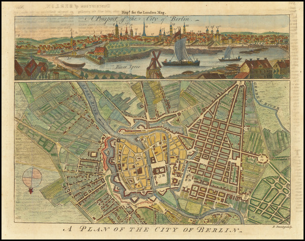
Place/Date:
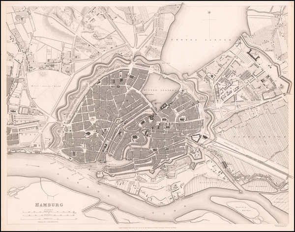
Berlin / 1963 circa
Size:
33 x 24 inches
Condition:
VG+
Stock#:
101586
Presse- und Informationsamt des Landes Berlin's 1963 antique map showing Norddeutschland.

Place/Date:
London / 1794
Size:
11.5 x 9 inches
Condition:
VG+
Stock#:
56493
Rare map showing Norddeutschland by Wilkinson, 1794.

Place/Date:
London / 1794
Size:
11.5 x 9 inches
Condition:
VG+
Stock#:
57795
Original map showing Norddeutschland by Wilkinson made in 1794.
Place/Date:
Basle / 1570 circa
Size:
15 x 4 inches
Condition:
VG
Stock#:
26167
Munster's 1570 antique map showing Norddeutschland.
Place/Date:
Basel / 1554 circa
Size:
12 x 10 inches
Condition:
VG+
Stock#:
81286

Place/Date:
Basel / 1550 circa
Size:
15.5 x 10 inches Including Text
Condition:
VG+
Stock#:
78805
Place/Date:
Basel / 1550 circa
Size:
15.25 x 10 inches (including text)
Condition:
VG
Stock#:
78931
Place/Date:
n.p. (Eastern Front) / 1945 circa
Size:
8 x 11.5 inches
Condition:
Fair
Stock#:
69563
Place/Date:
Amsterdam / 1690 circa
Size:
23 x 20 inches
Condition:
VG
Stock#:
91158
1690 original Danckerts map showing Norddeutschland.
Place/Date:
Amsterdam / 1680 circa
Size:
23 x 19.5 inches
Condition:
VG
Stock#:
91164

Place/Date:
Amsterdam / 1690
Size:
16.5 x 17.5 inches
Condition:
VG+
Stock#:
84363
Place/Date:
Amsterdam / 1700 circa
Size:
22 x 17 inches
Condition:
VG
Stock#:
85101
Place/Date:
Amsterdam / 1700 circa
Size:
21 x 18.5 inches
Condition:
Stock#:
87296
Place/Date:
Amsterdam / 1690 circa
Size:
19 x 16 inches
Condition:
VG+
Stock#:
87304
Place/Date:
Amsterdam / 1700 circa
Size:
20.2 x 15.3 inches
Condition:
VG
Stock#:
88320