
Search
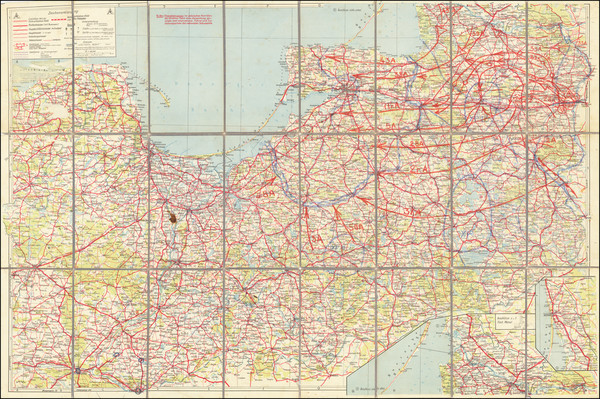
Place/Date:
n.p. (Germany) / 1945 circa
Size:
37 x 24.5 inches
Condition:
VG
Stock#:
65659
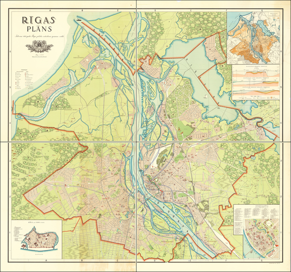
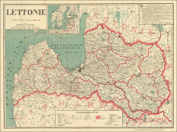
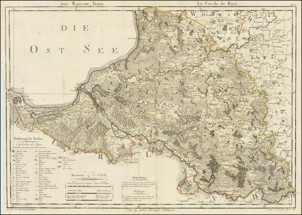
Place/Date:
Riga / 1937
Size:
39.5 x 41 inches (Each Sheet)
Condition:
VG
Stock#:
63953
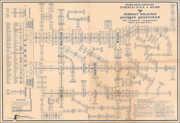
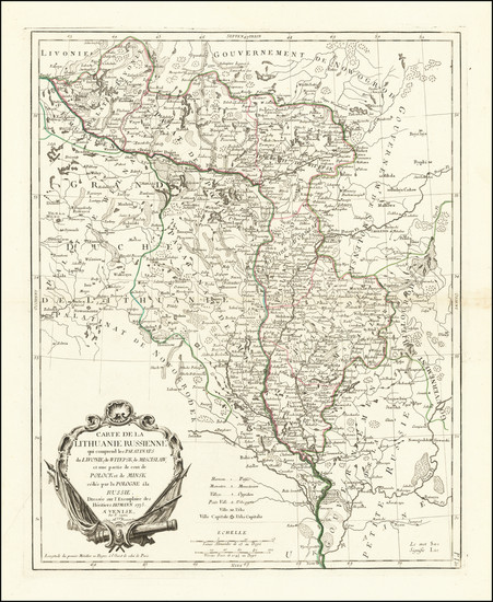
Place/Date:
Vilnius / 1933
Size:
38 x 26 inches
Condition:
VG
Stock#:
60532
Antique map showing the Baltic Countries by Polskie Koleje Panstwowe Dyrekcja, 1933.
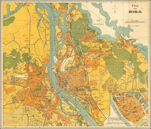
Place/Date:
Riga / 1927 circa
Size:
26.6 x 23.2 inches
Condition:
VG
Stock#:
92287
Place/Date:
Riga / 1926 circa
Size:
44.25 x 32.5 inches
Condition:
VG
Stock#:
84673
Place/Date:
Kaunus, Lithuania / Hamburg / 1917
Size:
25 x 16.75 inches
Condition:
VG
Stock#:
94045

Place/Date:
Paris / 1867
Size:
29.5 x 21.5 inches
Condition:
VG+
Stock#:
73537rd
Place/Date:
Vilnius, Lithuania / 1864
Size:
13 x 11 inches (each sheet)
Condition:
VG
Stock#:
52719
Antique map showing the Baltic Countries by Anonymous made in 1864.
Place/Date:
London / 1853
Size:
25.5 x 19.5 inches
Condition:
VG
Stock#:
43365
Antique map showing the Baltic Countries by British Admiralty, 1853.

1851 rare Tallis map showing the Baltic Countries.

Place/Date:
Florence / 1850 circa
Size:
13 x 11 inches
Condition:
VG+
Stock#:
31249
Rare map showing the Baltic Countries by Marmocchi made in 1850.

Place/Date:
London / 1842
Size:
24 x 20 inches
Condition:
VG
Stock#:
67966
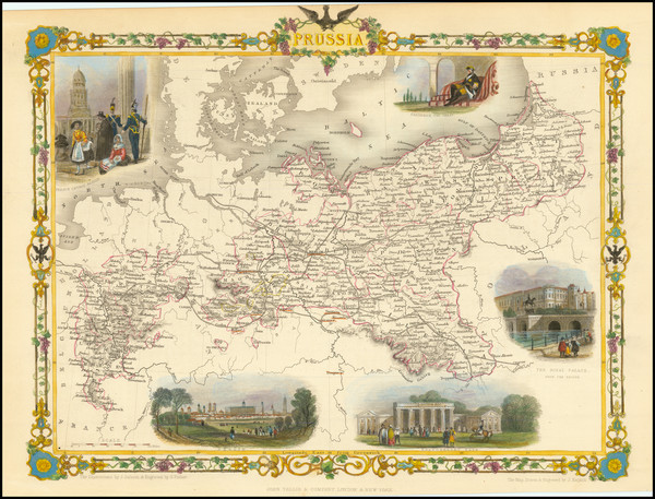
Authentic 19th Century Map of Prussia & Poland
Place/Date:
Paris / 1834
Size:
13.5 x 11 inches
Condition:
VG+
Stock#:
71718
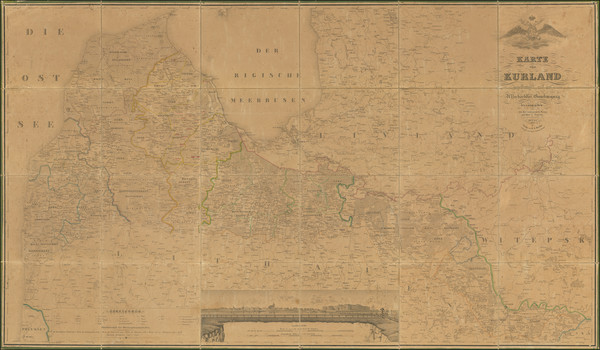
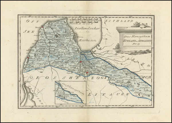
Place/Date:
Mitau (i.e, Jelgava, Latvia) / 1833
Size:
56 x 32.5 inches
Condition:
Good
Stock#:
90034
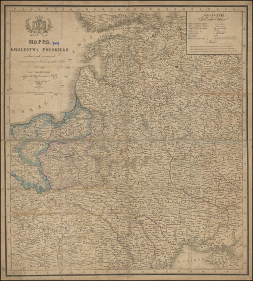
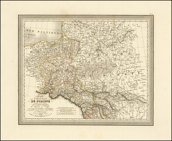
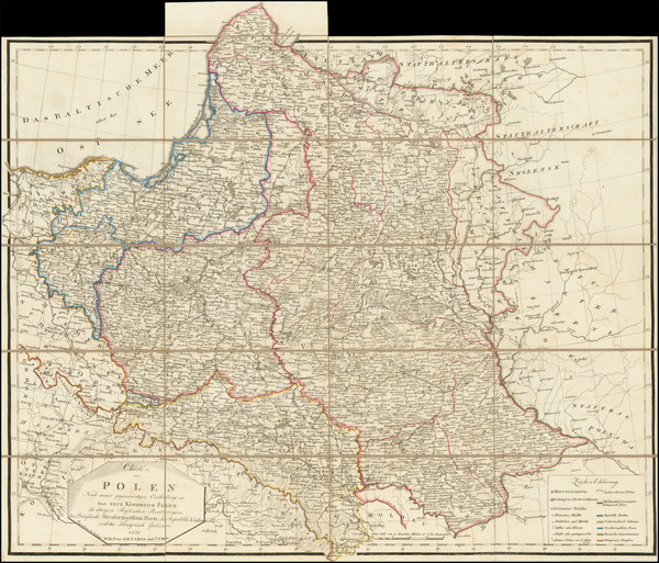
Place/Date:
Warsaw / 1831
Size:
21.5 x 23.5 inches
Condition:
Good
Stock#:
96457
Place/Date:
Vienna / 1831
Size:
24 x 19.5 inches
Condition:
VG
Stock#:
98958
Place/Date:
Paris / 1831
Size:
25.3 x 18 inches
Condition:
Good
Stock#:
99166

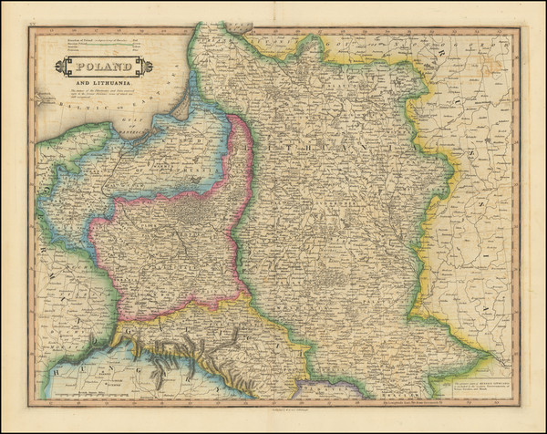
Place/Date:
Edinburgh / 1830
Size:
20.5 x 16.5 inches
Condition:
VG
Stock#:
101608
Place/Date:
Edinburgh / 1828
Size:
19.5 x 15.5 inches
Condition:
VG
Stock#:
101018

Place/Date:
Edinburgh / 1817
Size:
24 x 19 inches
Condition:
VG
Stock#:
72115
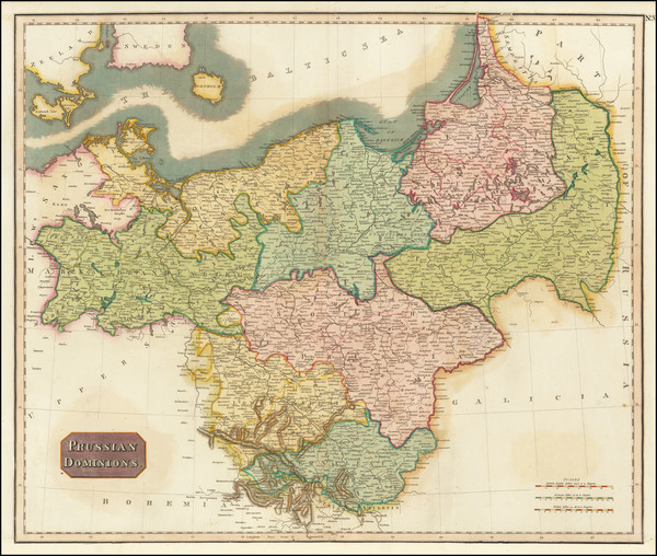
Place/Date:
Edinburgh / 1815
Size:
23 x 19.5 inches
Condition:
VG+
Stock#:
67912
1815 Antique Map of Prussia / Poland - Lithuania - Latvia - Estonia
Place/Date:
London / 1813
Size:
26 x 24 inches
Condition:
VG+
Stock#:
51373
1813 antique Faden map showing the Baltic Countries.
Place/Date:
London / 1813
Size:
17.5 x 16 inches
Condition:
VG
Stock#:
99165
Place/Date:
Vienna / 1810
Size:
27.5 x 20 inches
Condition:
VG
Stock#:
98514

Place/Date:
London / 1808
Size:
11.5 x 9 inches
Condition:
VG
Stock#:
70529
Place/Date:
Paris / 1806
Size:
29.5 x 20 inches
Condition:
VG
Stock#:
56972
Rare map showing the Baltic Countries by Herisson, 1806.
Place/Date:
Vienna / 1799
Size:
19.5 x 13.5 inches
Condition:
VG+
Stock#:
39700
1799 original von Reilly map showing the Baltic Countries.

Place/Date:
London / 1799
Size:
20.5 x 18 inches
Condition:
VG+
Stock#:
91881
Place/Date:
London / 1799
Size:
20.5 x 18 inches
Condition:
VG+
Stock#:
97270
Place/Date:
London / 1799
Size:
20.5 x 18 inches
Condition:
VG+
Stock#:
97604
Place/Date:
London / 1799
Size:
22 x 24 inches
Condition:
VG
Stock#:
103017
Place/Date:
Riga / 1798
Size:
28 x 20 inches
Condition:
VG+
Stock#:
70051

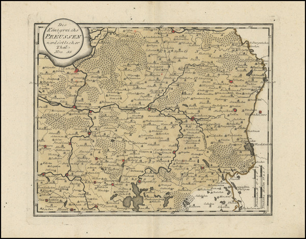
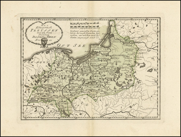
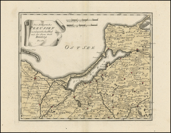
Place/Date:
Nuremberg / 1795 circa
Size:
20.5 x 17.5 inches
Condition:
VG+
Stock#:
60050
Homann Heirs's 1795 antique map showing the Baltic Countries.
Place/Date:
Vienna / 1795
Size:
21 x 13 inches
Condition:
VG+
Stock#:
102965
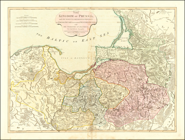
Place/Date:
London / 1794
Size:
11.5 x 9 inches
Condition:
VG+
Stock#:
55830
Original map showing the Baltic Countries by Wilkinson made in 1794.
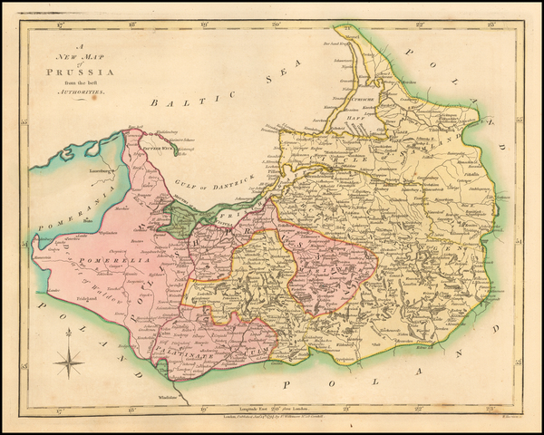
Place/Date:
London / 1794
Size:
26 x 20 inches
Condition:
VG
Stock#:
67891
Antique Map of Prussia and Polish Prussia
Place/Date:
Vienna / 1794
Size:
11.5 x 9.5 inches
Condition:
VG+
Stock#:
89311
Place/Date:
Vienna / 1794
Size:
11.5 x 9.5 inches
Condition:
VG+
Stock#:
101485
Place/Date:
London / 1794
Size:
28.5 x 20 inches
Condition:
VG
Stock#:
102963
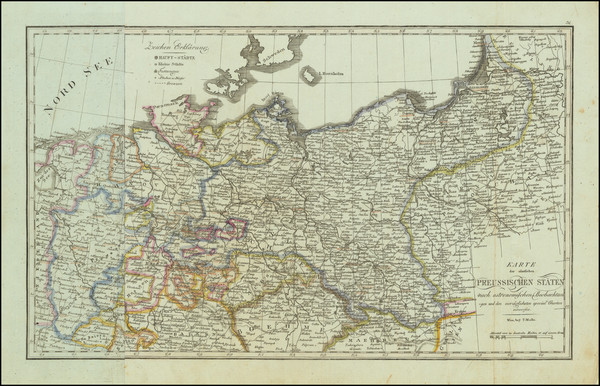
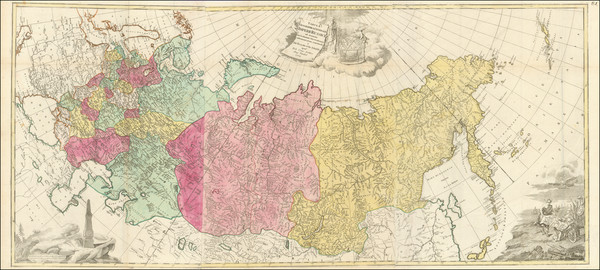
Place/Date:
Berlin / 1791
Size:
28 x 19 inches
Condition:
VG+
Stock#:
69148
Place/Date:
Vienna / 1790 circa
Size:
10.75 x 8 inches
Condition:
VG+
Stock#:
101749
Place/Date:
Vienna / 1790
Size:
11 x 8 inches
Condition:
VG+
Stock#:
102639
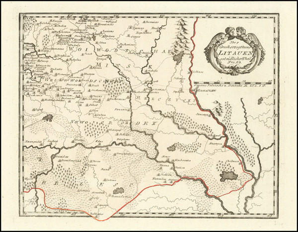
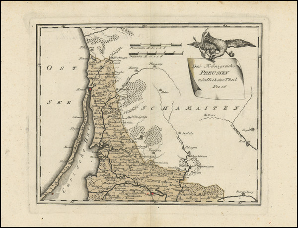
Place/Date:
Vienna / 1789
Size:
12.5 x 8.5 inches
Condition:
VG
Stock#:
101643
Place/Date:
Vienna / 1789
Size:
11.5 x 9.5 inches
Condition:
VG+
Stock#:
101757
Rare map showing the Baltic Countries by von Reilly made in 1789.
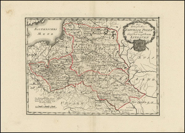
Place/Date:
Vienna / 1789
Size:
11.5 x 9.5 inches
Condition:
VG+
Stock#:
103252
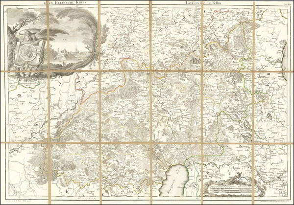
Place/Date:
Augsburg / 1784
Size:
57 x 76.5 inches (if joined)
Condition:
VG+
Stock#:
99567
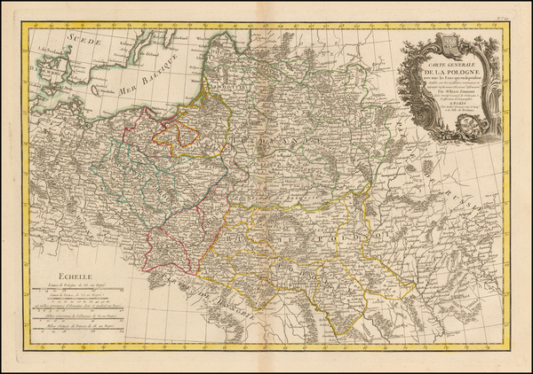
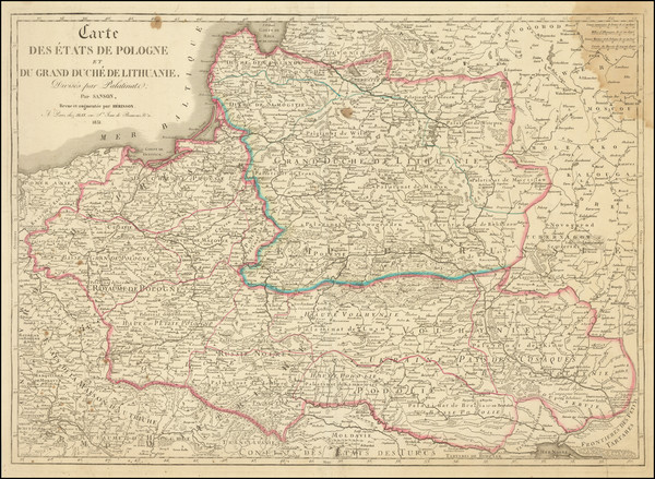
Place/Date:
Paris / 1783
Size:
17.5 x 12 inches
Condition:
VG
Stock#:
43982
Original map showing the Baltic Countries by Rizzi-Zannoni made in 1783.
Place/Date:
Venice / 1778
Size:
22 x 17.5 inches
Condition:
VG+
Stock#:
47562
Antique map showing the Baltic Countries by Santini, 1778.
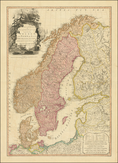
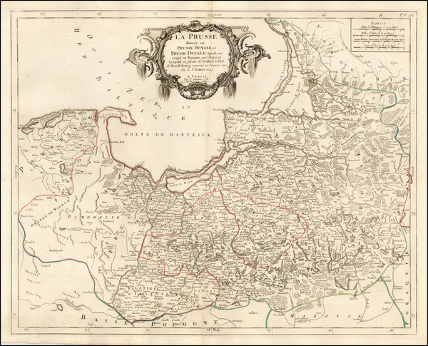
Place/Date:
Venice / 1776
Size:
17.5 x 21.5 inches
Condition:
VG+
Stock#:
69060