|
||

|

|
|

|
Stock# 89712
Description
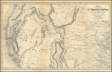
Detailed map of Colorado, one of the earliest published outside the United States, published with this rare pamphlet published for the 1867 Paris Exposition.
The Colorado largely upon the General Land Office Survey maps issued in 1865 and 1866.
The pamphlet also includes a map of the United States (13.5x7 inches). Exposition.
The work would appear to have been been issued in an equally rare French edition, published in the same year.
Reference
Howes 387.
![(Colorado Springs Photograph) [Original cabinet card albumen photograph of Tejon Street, Colorado Springs, looking south toward Cheyenne Mountain]](https://storage.googleapis.com/raremaps/img/small/87515.jpg)
![[ Colorado ]](https://storage.googleapis.com/raremaps/img/small/88749.jpg)
![(Cima, California) [Bird's-Eye View Map Showing Twenty-six Claims of the Arcalvada Mining & Milling Co. Dawson Mining District, Cima, San Bernardino Co., Cal.]](https://storage.googleapis.com/raremaps/img/small/93558.jpg)