
This item has been sold, but you can enter your email address to be notified if another example becomes available.


|
||

|

|
|

|
Stock# 78050
Description
Bilingual vintage folding map of the Philippines, with place names shown in English and Chinese. The map shows the archipelagic nation in full, with two insets, one showing the Strait of Luzon and one showing an elevation map of the islands. Major roads, rivers, and bodies of water are shown and named.
The verso includes a number of photographs showing the country as well as Chinese-language text.
This map was published as "東南亞地理掛圖之六" or "Southeast Asia Geographical Wall Chart No. 6," implying that this was produced as part of a series of Asian-region wall maps.
Condition Description
Folding map. Printed both sides. Minor discoloration around folds

![(Second World War) Your Submarine Versatile Warship [on verso:] NEWSMAP For the Armed Forces 268th Week of the War - 150th of U.S. Participation](https://storage.googleapis.com/raremaps/img/small/95106.jpg)
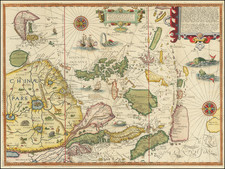
![[ China Sea / Luzon / Hong Kong / Canton / Formosa ] Bogt Toncqin (VOC - Dutch East India Chart by Its Chief Map Maker in Batavia)](https://storage.googleapis.com/raremaps/img/small/64690.jpg)