This item has been sold, but you can enter your email address to be notified if another example becomes available.


|
||

|

|
|

|
Stock# 69485
Description
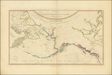
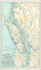
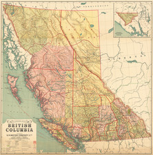
Scarce map of British Columbia and environs, published by A & C Black.
The map provides excellent topographical detail for the region, illustrating lakes, rivers, mountains, etc.
A number of rivers in the map are illustrated with dashed lines, indicating a lack of definitive knowledge of the course of the rivers.
A number of Hudson Bay Trading Company posts and forts (some abandoned) are noted.
The line of Canada's first transcontinental railroad is also shown.