The item illustrated and described below is sold, but we
have another example in stock. To view the example which
is currently being offered for sale, click the
"View Details" button below.


|
||

|

|
|

|
Stock# 2477
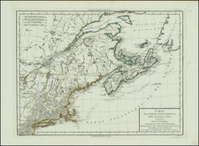
![Map of the States of Massachusetts, Connecticut and Rhode Island [Large Boston Inset]](https://storage.googleapis.com/raremaps/img/small/91825.jpg)