|
||

|

|
|

|
Stock# 85865
Description
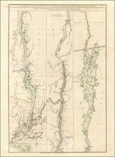
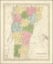
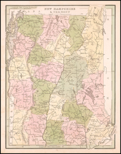
Nice example of Tanner's map of New Hampshire and Vermont, hand colored by counties, and showing towns, roads with distances, railroads, and a host of other details.
The key shows counties and towns in each state, with populations, and populations on a decade by decade basis since 1790. Tanner's maps rarely appears on the market. A nice wide margined example.