The item illustrated and described below is sold, but we
have another example in stock. To view the example which
is currently being offered for sale, click the
"View Details" button below.


|
||

|

|
|

|
Stock# 0794
Description
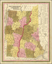
Nice example of Tanner's map of New Hampshire and Vermont, hand colored by counties, and showing towns, roads with distances, railroads, and a host of other details. The key shows counties and towns in each state, with populations, and populations on a decade by decade basis since 1790. Tanner's maps rarely appears on the market. A nice wide margined example.
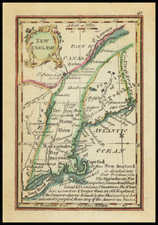

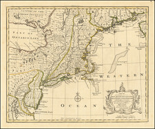
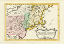
![[Revolutionary War Plans of New York, Boston, Charleston, Delaware River to Philadelphia & Havana] Various Plans and Draughts of Cities, Towns, Harbours &c . . .](https://storage.googleapis.com/raremaps/img/small/83450.jpg)