Search
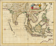
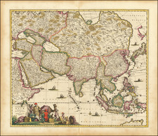
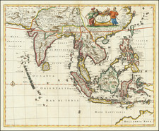
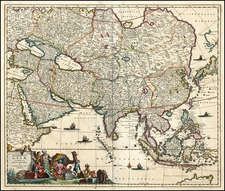
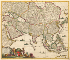
Lake Chiamay first appeared on a map in 1554 when it was included on the terza tavola in the second edition of volume one of Ramusio’s Delle navigationi et viaggi. Drawn by Giacomo Gastaldi, this map of South and Southeast Asia shows a massive lake from which four rivers flow; these are commonly interpreted as the Chao Phraya, Salween, Irrawaddy, and a branch of the Brahmaputra, but also sometimes include other rivers.
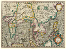
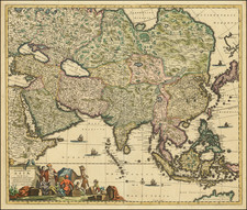
Reports of the lake came from two Portuguese sources: a geographer, João de Barros, and an explorer, Fernão Mendes Pinto. Pinto wrote letters describing a great lake. Barros likely saw these letters. He, in turn, compiled a history of Asia, Décadas da Ásia, that mentioned the lake; Ramusio included Barros’ work in his own compilation of travel and exploration.
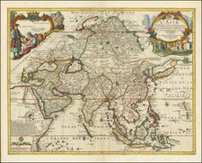
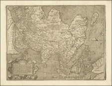
Barros describes a lake that begat six rivers, but the map in Ramusio’s work shows only four. However, Gastaldi’s 1561 map, Tertia Pars Asiae, shows six rivers leaving and two entering the lake. After appearing in such an authoritative work, the lake was taken up by other mapmakers. Many used the Ramusio/Gastaldi model. Others innovated on the theme of this geographic chimera, as no such lake exists in the area.
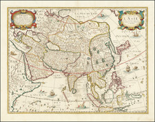
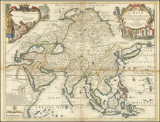
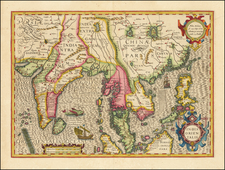
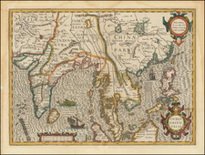
Luis Jorge de Barbuda’s 1584 map shows the lake farther to the north and with a different river pattern. His model was taken up by Hondius in India Orientales (1606) and thereafter by many others. The Jesuit Martino Martini gathered information from his travels in eastern and northern China to compile Imperii Sinarum Nova Descriptio (1655). Martini included the lake, but added the Red River and had the Chao Phraya originate from a different lake. Around 1570, other maps appeared that gave Lake Chiamay only two outlets.
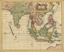
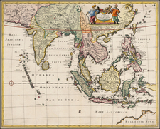
As more Jesuit knowledge of Southeast Asia filtered back to Europe, mapmakers such as Guillaume Delisle began to question the veracity of the lake. It last was added to a map by Vaugondy in 1751; it was reprinted in map reissues, however, until at least 1783. By the early-nineteenth century, the feature was understood to be nothing more than a cartographic myth. By the early-twentieth century, expeditions had definitively proven that no such lake existed.
Archived