
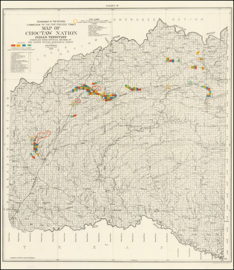
Search
Place/Date:
Washington / 1900
Size:
28 x 24 inches
Condition:
Stock#:
102956
Place/Date:
Washington / 1902
Size:
27 x 29.5 inches
Condition:
VG
Stock#:
35573
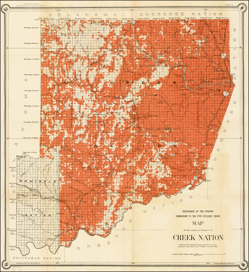
Antique map showing Oklahoma & Indian Territory by United States GPO made in 1902.
Place/Date:
Washington / 1901
Size:
27 x 29.5 inches
Condition:
VG+
Stock#:
97537
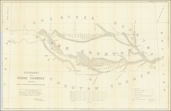
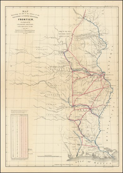
Place/Date:
Washington / 1858
Size:
37 x 24 inches
Condition:
VG
Stock#:
63234
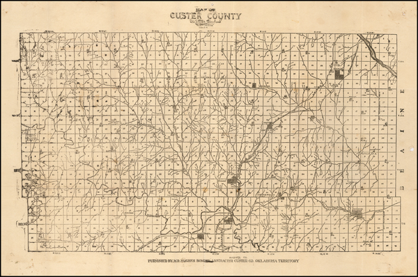
Place/Date:
Custer County, Oklahoma Territory / 1900 circa
Size:
18 x 12 inches
Condition:
VG+
Stock#:
57497
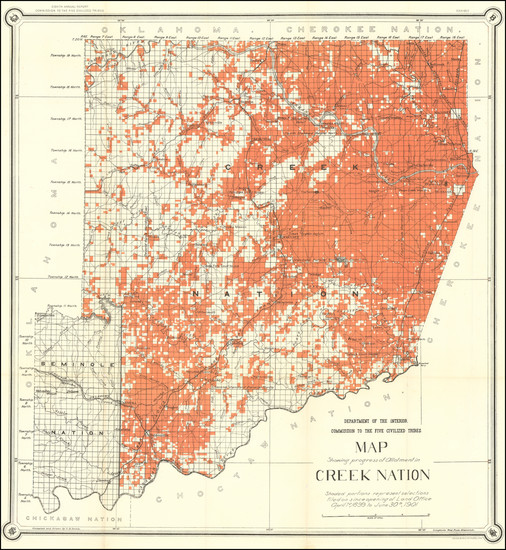
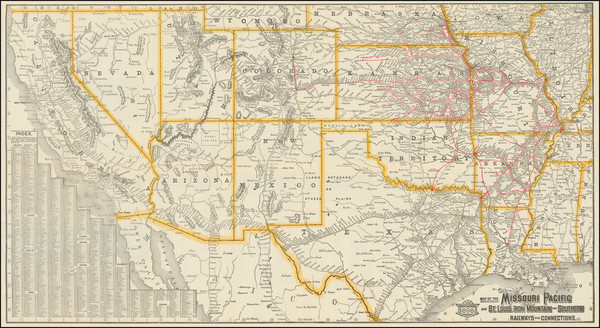
Rare map showing Oklahoma & Indian Territory by Hughes, 1900.
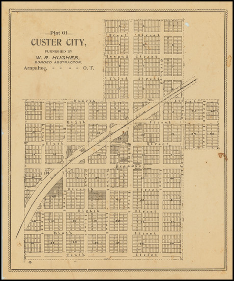
Place/Date:
Arapahoe, OK / 1910 circa
Size:
7.7 x 9.2 inches
Condition:
Poor
Stock#:
76070
Place/Date:
Washington / 1837
Size:
15 x 21.5 inches
Condition:
VG
Stock#:
102750
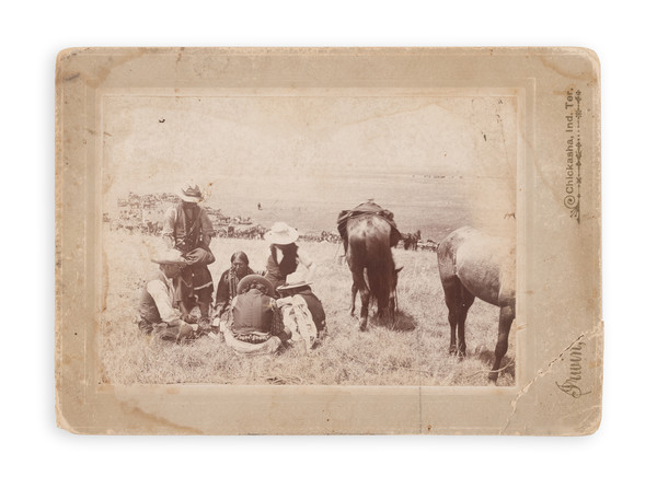
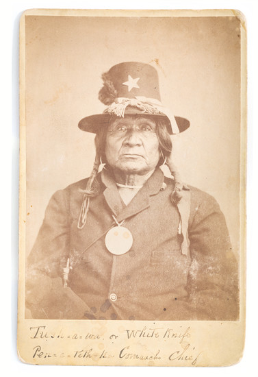
Place/Date:
Chickasha, Indian Territory / 1900 circa
Size:
6 x 4 inches
Condition:
Good
Stock#:
93106
Place/Date:
Np / 1880 circa
Size:
2.5 x 4 inches
Condition:
VG
Stock#:
93109
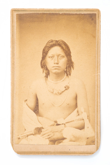
Place/Date:
Fort Sill, Indian Territory / 1875 circa
Size:
4 x 6.5 inches
Condition:
VG
Stock#:
93032
Place/Date:
St. Louis / 1898
Size:
30.5 x 16.5 inches
Condition:
VG
Stock#:
91606
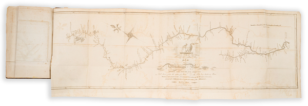
Place/Date:
Philadelphia / 1810
Size:
29.25 x 9 inches
Condition:
VG+
Stock#:
81745
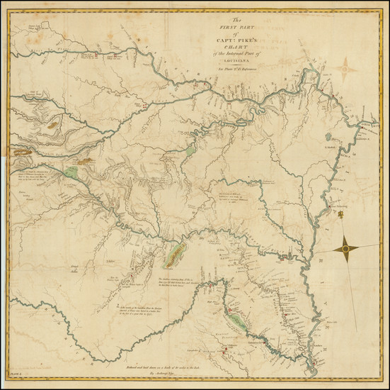
Place/Date:
Philadelphia / 1810
Size:
18.5 x 18 inches
Condition:
VG
Stock#:
83485