
Search
Old and antique maps of British Columbia for sale. Our authentic British Columbia map inventory features antique maps of Canada from the period of the earliest European exploration of the Pacific Coast of Canada, including by Vancouver, Malaspina, MacKenzie, and others. Maps of Vancouver and Victoria are also for sale, as well as maps of Vancouver Island.
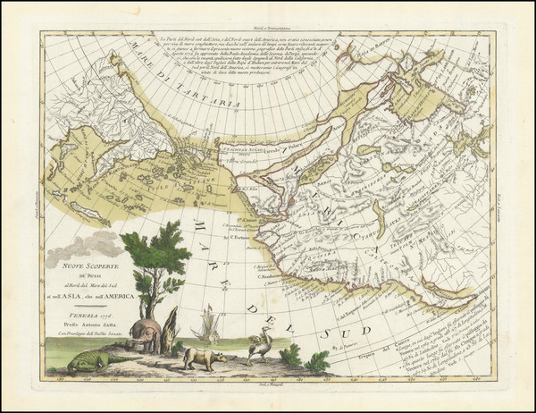
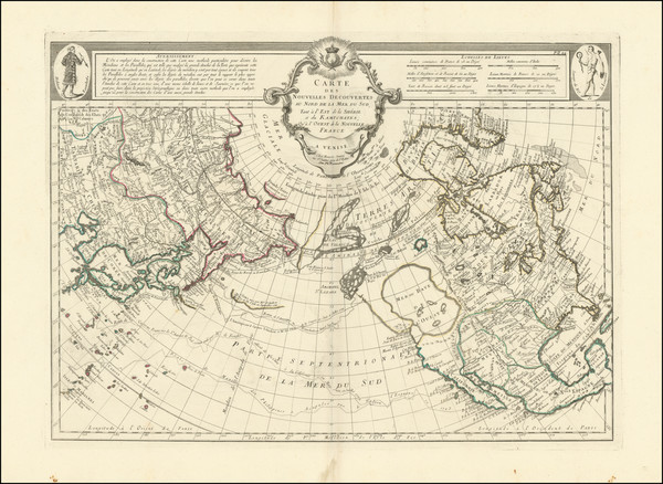
Place/Date:
Venice / 1776
Size:
16 x 12 inches
Condition:
VG+
Stock#:
101875
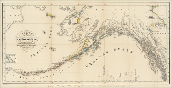
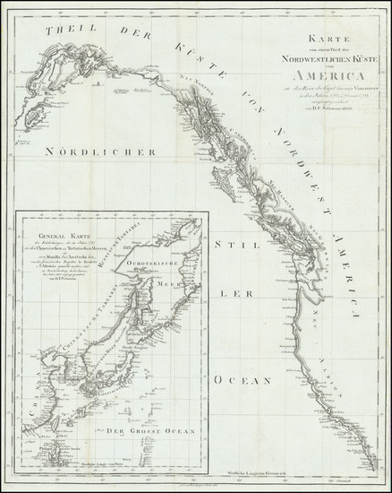
Place/Date:
St. Petesburg / 1849
Size:
26 x 13 inches
Condition:
VG
Stock#:
101812
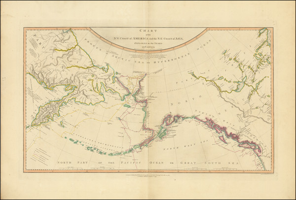
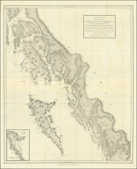
Place/Date:
London / 1808
Size:
27 x 16 inches
Condition:
VG
Stock#:
102033
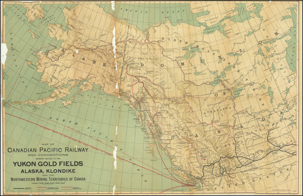
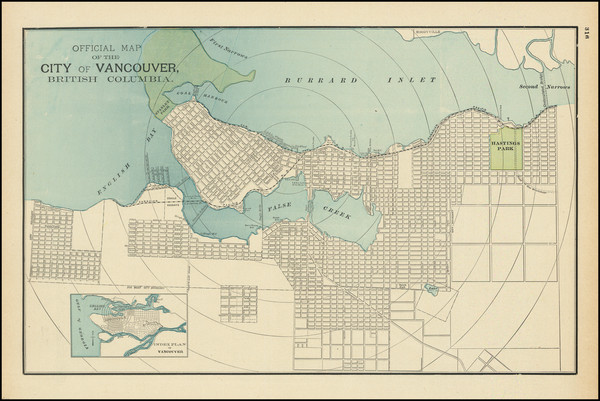
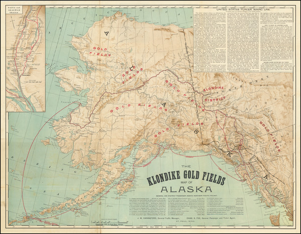
Place/Date:
Chicago / 1898
Size:
26.5 x 17.25 inches
Condition:
Fair
Stock#:
83911
Place/Date:
Berlin / 1800
Size:
16 x 20 inches
Condition:
VG+
Stock#:
102828
Place/Date:
London / 1798
Size:
24 x 30 inches
Condition:
VG+
Stock#:
102065
Place/Date:
Venice / 1776
Size:
25 x 18 inches
Condition:
VG
Stock#:
102959
Place/Date:
Chicago / 1895
Size:
16 x 10 inches
Condition:
VG+
Stock#:
103045
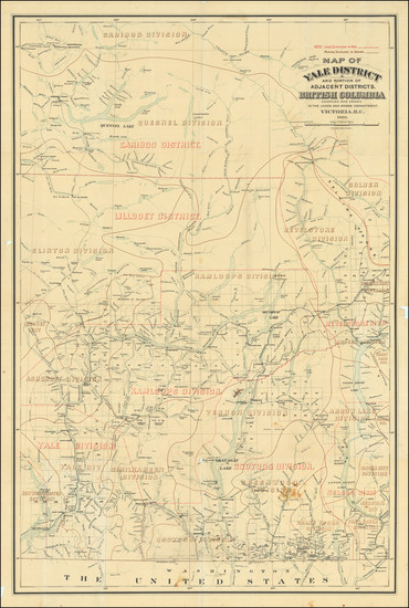
Place/Date:
Victoria, B.C. / 1903
Size:
25.75 x 39 inches
Condition:
VG+
Stock#:
83411
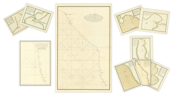
Juan Francisco de la Bodega y Quadra / Bruno de Hezeta y Dudagoitia / Francisco Antonio Mourelle de la Rúa
Place/Date:
n.p. / 1775
Size:
Condition:
VG+
Stock#:
98898
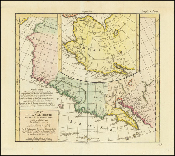
Place/Date:
Paris / 1772
Size:
13 x 11.5 inches
Condition:
VG+
Stock#:
82101
Place/Date:
St. Paul, MN / 1897
Size:
23 x 17.5 inches
Condition:
VG
Stock#:
92592
Place/Date:
Paris / 1795 circa
Size:
9.5 x 7 inches
Condition:
VG+
Stock#:
104156