
Search
Old and antique maps of Western Canada for sale. Our authentic Western Canada map inventory features antique maps of Canada from the period of the earliest European exploration by Vancouver, Russian explorers, Malaspina, and Mackenzie. Our map inventory typically includes antique and vintage city views and plans of Victoria and Vancouver, as well as maps of the Yukon, British Columbia, Alberta, etc. Vintage pictorial maps of Western Canada are also for sale.
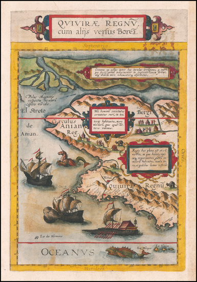
Place/Date:
Antwerp / 1593
Size:
8.5 x 14 inches
Condition:
VG
Stock#:
60083
de Jode's 1593 original map showing Western Canada.
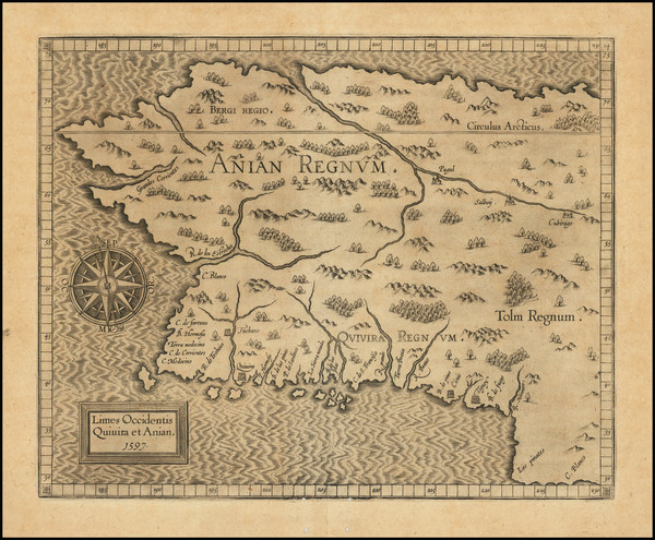
Place/Date:
Louvain / 1597
Size:
11.5 x 9 inches
Condition:
VG
Stock#:
71207
1597 antique Wytfliet map showing Western Canada.
Place/Date:
Venice / 1691
Size:
17 x 10 inches
Condition:
VG+
Stock#:
99094
Place/Date:
Paris / 1719
Size:
20.5 x 16 inches
Condition:
VG+
Stock#:
98636
Place/Date:
Amsterdam / 1719
Size:
18 x 14 inches
Condition:
VG
Stock#:
100582
Place/Date:
Paris / 1741
Size:
11.5 x 4.5 inches
Condition:
VG
Stock#:
84108
Lahontan's 1741 antique map showing Western Canada.
Place/Date:
n.p. / 1753 circa
Size:
11.25 x 6.75 inches
Condition:
VG
Stock#:
86086
Place/Date:
Nuremberg / 1755
Size:
21 x 16.5 inches
Condition:
VG+
Stock#:
105064
Place/Date:
Paris / 1757
Size:
12 x 9 inches
Condition:
VG
Stock#:
96825
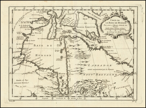
Rare map showing Western Canada by Bellin, 1757.
Place/Date:
Paris / 1758
Size:
13.5 x 8.5 inches
Condition:
VG+
Stock#:
38760pb
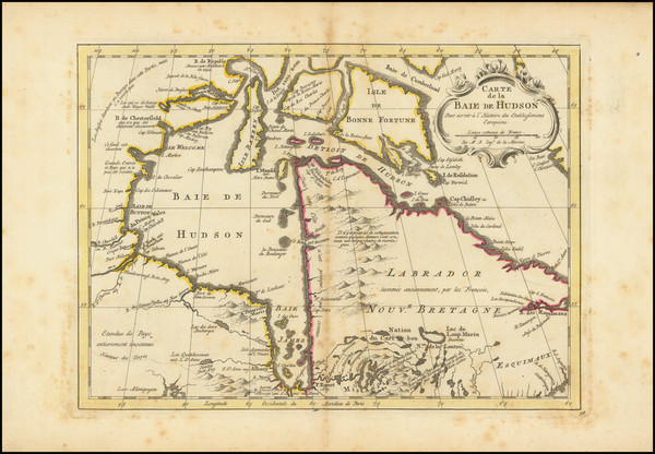
Bellin's 1758 original map showing Western Canada.
Place/Date:
Amsterdam / 1770
Size:
12 x 9 inches
Condition:
VG
Stock#:
101583
Antique map showing Western Canada by Krevelt made in 1770.

Place/Date:
St. Petersburg / 1773
Size:
25 x 18 inches
Condition:
VG
Stock#:
90200
Place/Date:
Amsterdam / 1774 (1777)
Size:
10.5 x 8.5 inches
Condition:
VG+
Stock#:
80212
Place/Date:
Paris / 1782
Size:
17.5 x 12 inches
Condition:
VG+
Stock#:
80228
Place/Date:
Venice / 1784
Size:
25.5 x 19.5 inches
Condition:
VG+
Stock#:
74377
Place/Date:
Paris / 1787
Size:
13 x 8.5 inches
Condition:
VG
Stock#:
98735
Place/Date:
London / 1792
Size:
15.5 x 12.5 inches
Condition:
VG
Stock#:
99856
Place/Date:
Paris / 1794
Size:
18.5 x 10 inches
Condition:
VG
Stock#:
98406
Place/Date:
Paris / 1794
Size:
24 x 16.5 inches
Condition:
VG
Stock#:
98810
Place/Date:
London / 1798
Size:
8.875 x 6.125 inches (not including title)
Condition:
VG+
Stock#:
88070
Place/Date:
Paris / 1802
Size:
22 x 23.5 inches
Condition:
VG
Stock#:
103457
Place/Date:
London / 1808
Size:
27 x 16 inches
Condition:
VG
Stock#:
102033
Place/Date:
London / 1810
Size:
9.5 x 7.5 inches
Condition:
VG+
Stock#:
57085
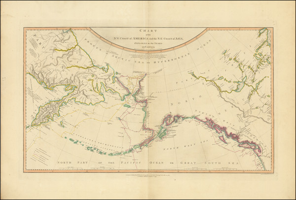
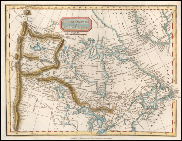
Kelly's 1810 rare map showing Western Canada.
Place/Date:
Brussels / 1825
Size:
20 x 18 inches
Condition:
VG+
Stock#:
19153
Antique map showing Western Canada by Vandermaelen, 1825.
Place/Date:
Paris / 1825
Size:
25 x 18.5 inches
Condition:
VG
Stock#:
43027
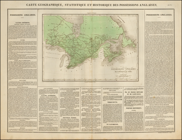
Antique map of British Canada
Place/Date:
Brussels / 1825
Size:
20 x 18 inches
Condition:
VG+
Stock#:
54847
Rare map showing Western Canada by Vandermaelen made in 1825.
Place/Date:
Brussels / 1825
Size:
22 x 18.5 inches
Condition:
VG+
Stock#:
79531
Place/Date:
Brussels / 1825
Size:
22 x 18.5 inches
Condition:
VG
Stock#:
80101
Place/Date:
Brussels / 1825
Size:
22.5 x 18.5 inches
Condition:
VG
Stock#:
80198
Place/Date:
Brussels / 1825
Size:
20 x 18 inches
Condition:
VG
Stock#:
98409
Place/Date:
Brussels / 1827
Size:
23 x 19.25 inches
Condition:
VG+
Stock#:
78554
Place/Date:
Philadelphia / 1838 circa
Size:
15 x 17.25 inches (sheet size)
Condition:
VG
Stock#:
77698
Place/Date:
London / 1840
Size:
23.5 x 18 inches
Condition:
VG
Stock#:
97715
Place/Date:
London / 1842
Size:
19 x 24 inches
Condition:
VG+
Stock#:
66939
Place/Date:
St. Petesburg / 1849
Size:
26 x 13 inches
Condition:
VG
Stock#:
101812
Place/Date:
London / 1854
Size:
20 x 16.25 inches
Condition:
Good
Stock#:
100831
Place/Date:
Genoa / 1858
Size:
13 x 10.5 inches
Condition:
VG
Stock#:
65899
Place/Date:
Genoa / 1858
Size:
13 x 11 inches
Condition:
VG+
Stock#:
104921
Place/Date:
London / 1888
Size:
27.5 x 20.5 inches
Condition:
VG
Stock#:
60518
Stanford's 1888 antique map showing Western Canada.
Place/Date:
Liverpool / 1891 circa
Size:
21.5 x 11.5 inches
Condition:
VG
Stock#:
88274
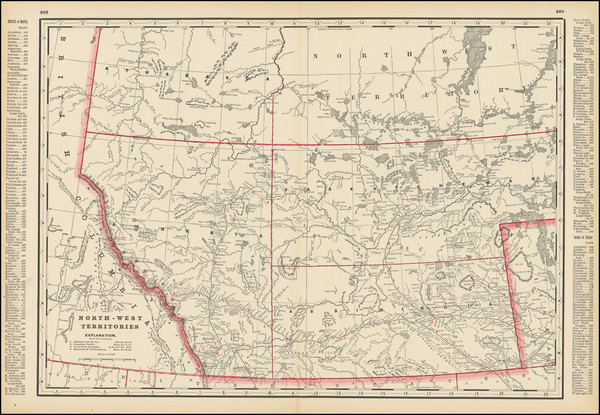
Place/Date:
Chicago / 1891
Size:
22 x 16 inches
Condition:
VG+
Stock#:
99524

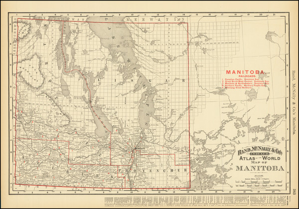
Place/Date:
Winnipeg / 1893
Size:
25 x 23.5 inches
Condition:
VG+
Stock#:
83321
Place/Date:
Chicago / 1896
Size:
19.5 x 13 inches
Condition:
VG
Stock#:
84094
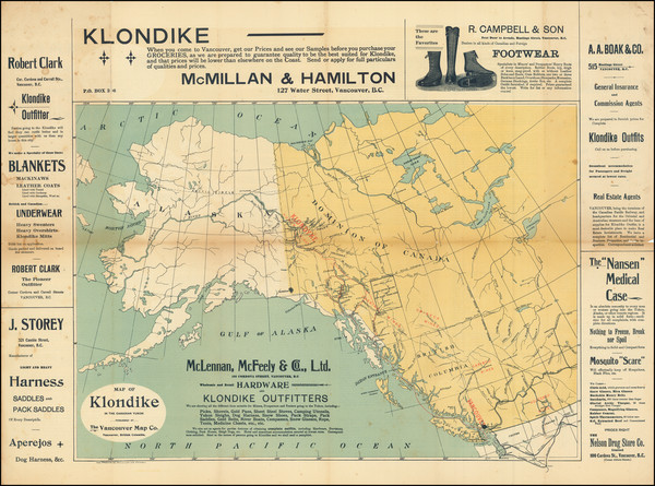
Place/Date:
Vancouver, B.C. / 1898
Size:
21.75 x 16 inches
Condition:
VG
Stock#:
95681
Place/Date:
New York / 1899
Size:
49.2 x 32.1 inches
Condition:
VG
Stock#:
98762
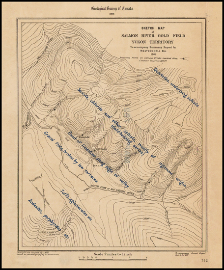
Place/Date:
n.p. / 1901
Size:
5.5 x 7 inches
Condition:
VG+
Stock#:
43477
Antique Map of Salmon River Gold Field Yukon Territory
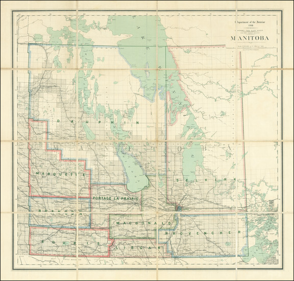
Place/Date:
Ottawa / 1908
Size:
28.5 x 27 inches
Condition:
VG+
Stock#:
83937
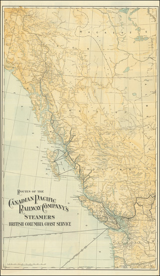
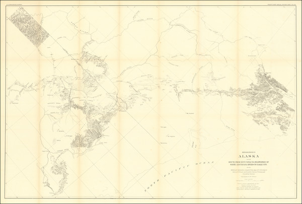
Place/Date:
Chicago / 1909
Size:
18 x 30.25 inches
Condition:
VG
Stock#:
83915
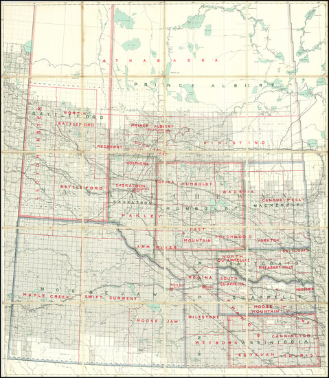
Place/Date:
Ottawa / 1909 circa
Size:
33 x 38 inches
Condition:
VG
Stock#:
83917