
Search
Place/Date:
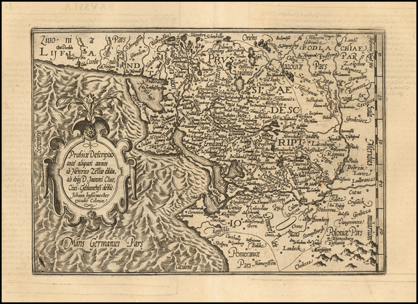
Cologne / 1596
Size:
10 x 7 inches
Condition:
VG+
Stock#:
54238
1596 original Quad map showing the Baltic Countries.
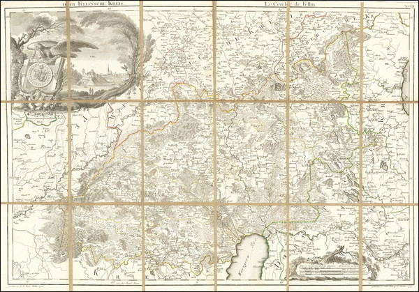
Place/Date:
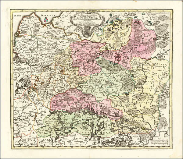
Augsburg / 1730
Size:
22.5 x 19.5 inches
Condition:
VG+
Stock#:
63449
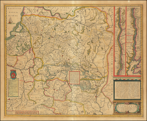
18th Century Antique Map of Lithuania
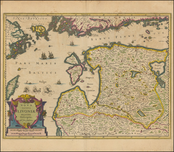
Place/Date:
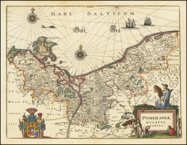
Frankfurt / 1638
Size:
15 x 11.5 inches
Condition:
VG
Stock#:
70416
Place/Date:
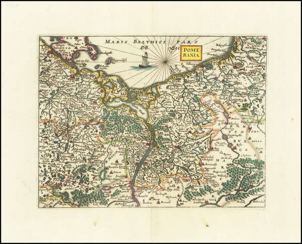
Frankfurt / 1660
Size:
10 x 7.6 inches
Condition:
VG+
Stock#:
81631
Place/Date:
Frankfurt / 1650 circa
Size:
10.5 x 8.5 inches
Condition:
VG+
Stock#:
100591
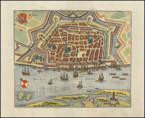
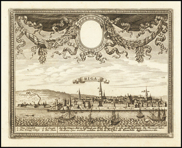
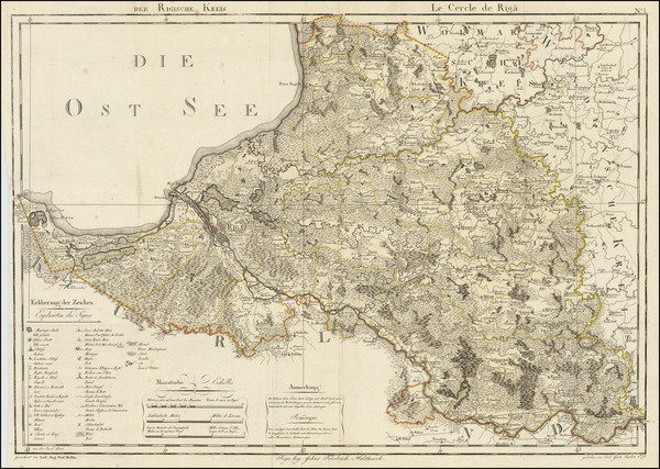
Place/Date:
Riga / 1798
Size:
28 x 20 inches
Condition:
VG+
Stock#:
70051
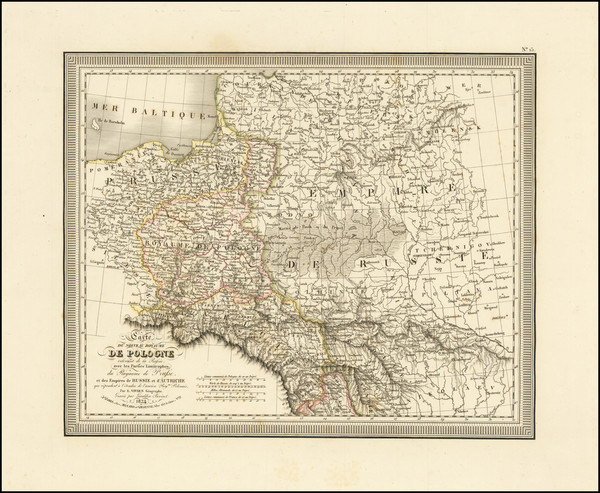
Place/Date:
Paris / 1834
Size:
13.5 x 11 inches
Condition:
VG+
Stock#:
71718
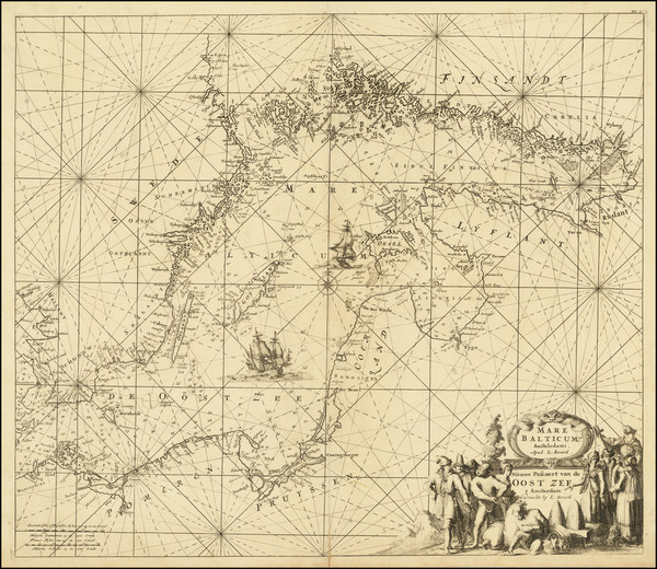
Place/Date:
Amsterdam / 1715
Size:
22.25 x 19.25 inches
Condition:
VG+
Stock#:
75375
Place/Date:
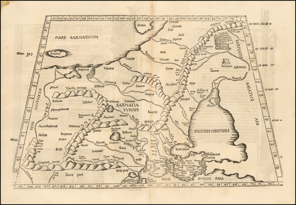
Strasbourg / 1525
Size:
18 x 12 inches
Condition:
VG
Stock#:
50926
Antique map showing the Baltic Countries by Fries, 1525.
Place/Date:
Strasbourg / 1535
Size:
18 x 12 inches
Condition:
VG+
Stock#:
103984
Place/Date:
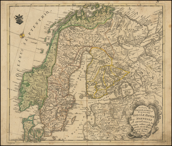
Berlin / 1752
Size:
14.25 x 12.5 inches
Condition:
VG
Stock#:
102797
1752 rare Von Euler map showing the Baltic Countries.
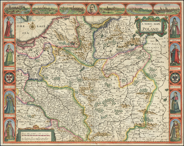
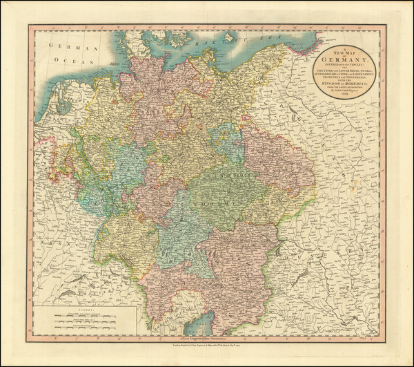
Place/Date:
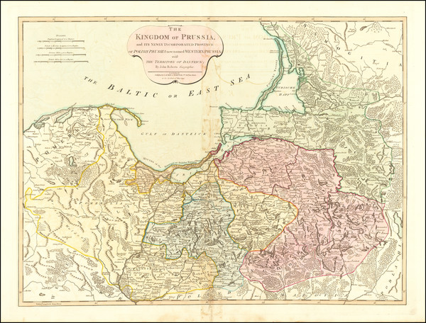
London / 1794
Size:
26 x 20 inches
Condition:
VG
Stock#:
67891
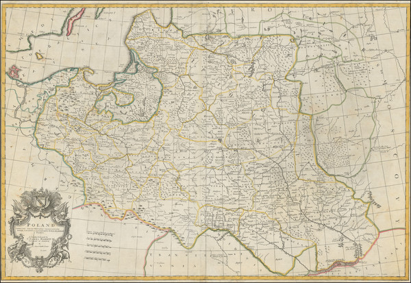
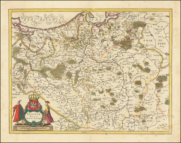
Antique Map of Prussia and Polish Prussia
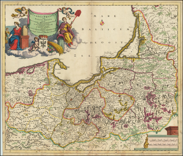
Place/Date:
Amsterdam / 1695 circa
Size:
23.5 x 19.5 inches
Condition:
VG
Stock#:
91157
Rare map showing the Baltic Countries by Danckerts made in 1695.
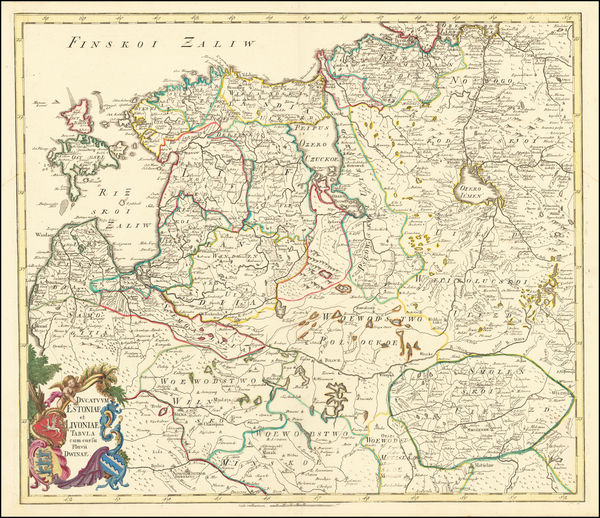
Place/Date:
St. Petersburg / 1745
Size:
20 x 23.5 inches
Condition:
VG+
Stock#:
62142

Place/Date:
Edinburgh / 1817
Size:
24 x 19 inches
Condition:
VG
Stock#:
72115
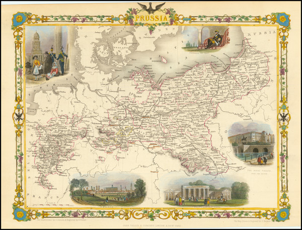
1851 rare Tallis map showing the Baltic Countries.
Place/Date:
London / 1676
Size:
20 x 15 inches
Condition:
VG+
Stock#:
87239
Place/Date:
London / 1728
Size:
20 x 23 inches
Condition:
VG
Stock#:
47459
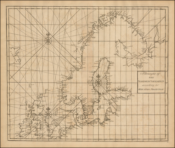
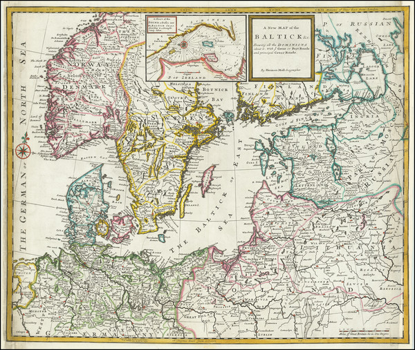
Rare map showing the Baltic Countries by Senex / Halley / Cutler, 1728.
Place/Date:
London / 1721
Size:
21.5 x 19 inches
Condition:
VG
Stock#:
25801
Rare map showing the Baltic Countries by Senex, 1721.
Place/Date:
London / 1711
Size:
37.5 x 25.5 inches
Condition:
VG
Stock#:
95072

Place/Date:
London / 1671
Size:
21.3 x 9.5 inches
Condition:
VG
Stock#:
69660
Place/Date:
London / 1685
Size:
17 x 11 inches
Condition:
VG+
Stock#:
97242

Place/Date:
Edinburgh / 1815
Size:
23 x 19.5 inches
Condition:
VG+
Stock#:
67912
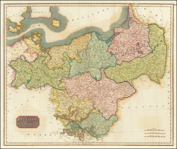
1815 Antique Map of Prussia / Poland - Lithuania - Latvia - Estonia

Place/Date:
London / 1799
Size:
20.5 x 18 inches
Condition:
VG+
Stock#:
91881
Place/Date:
London / 1799
Size:
20.5 x 18 inches
Condition:
VG+
Stock#:
97270
Place/Date:
London / 1799
Size:
20.5 x 18 inches
Condition:
VG+
Stock#:
97604

Place/Date:
London / 1842
Size:
24 x 20 inches
Condition:
VG
Stock#:
67966
Authentic 19th Century Map of Prussia & Poland
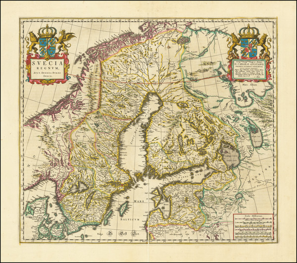
Place/Date:
Amsterdam / 1662
Size:
19.5 x 17 inches
Condition:
VG
Stock#:
78268
Antique map showing the Baltic Countries by Blaeu made in 1662.
Place/Date:
Augsburg / 1700 circa
Size:
7.5 x 6 inches
Condition:
VG+
Stock#:
67786

Place/Date:
Nuremberg / 1701 circa
Size:
22.5 x 19 inches
Condition:
VG
Stock#:
61045
Antique Map of Northern Germany, Poland, Lithuana, Kaliningrad circa 1702
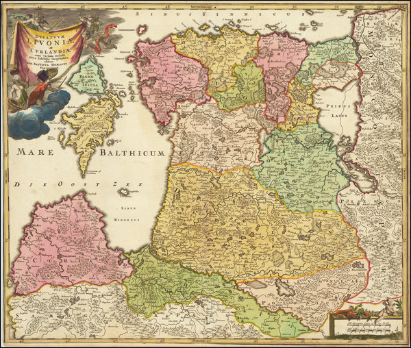
Place/Date:
Amsterdam / 1730 circa
Size:
23 x 19 inches
Condition:
VG
Stock#:
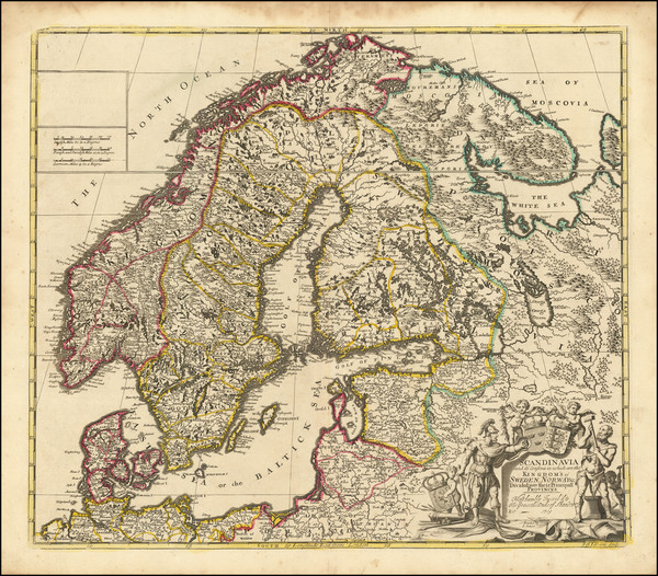
67709
Homann's 1730 antique map showing the Baltic Countries.
Place/Date:
Berlin / 1791
Size:
28 x 19 inches
Condition:
VG+
Stock#:
69148
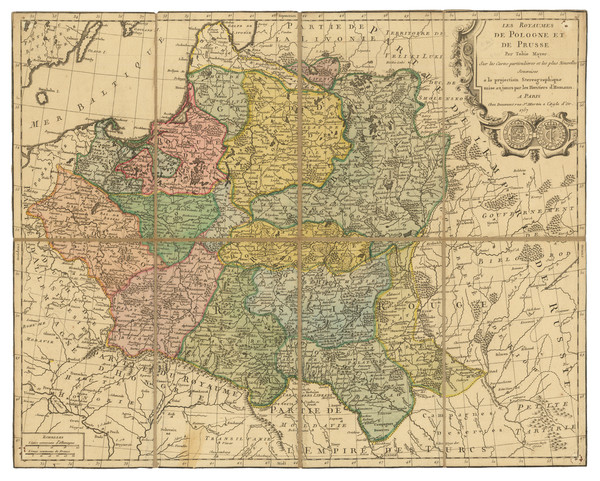
Place/Date:
Paris / 1757
Size:
21 x 17 inches
Condition:
VG+
Stock#:
81059
Place/Date:
Paris / 1644
Size:
21 x 15 inches
Condition:
VG
Stock#:
48927
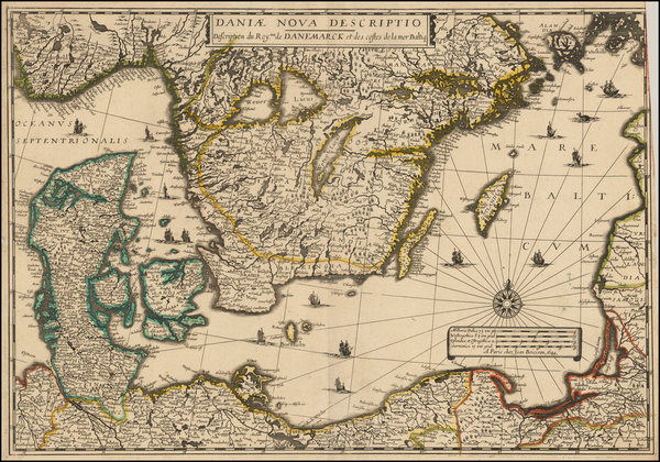
1644 antique Boisseau map showing the Baltic Countries.

Place/Date:
Amsterdam / 1630 circa
Size:
19 x 15 inches
Condition:
VG
Stock#:
49867
Original map showing the Baltic Countries by Jansson, 1630.

Place/Date:
Amsterdam / 1640
Size:
21 x 17 inches
Condition:
Stock#:
67659
Place/Date:
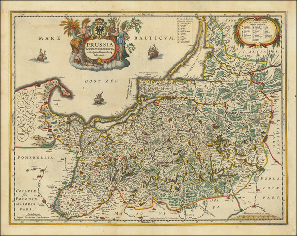
Amsterdam / 1638 circa
Size:
20 x 15.3 inches
Condition:
VG
Stock#:
67711
Antique map showing the Baltic Countries by Jansson, 1660.
Place/Date:
Amsterdam / 1649 circa
Size:
22 x 18.5 inches
Condition:
VG
Stock#:
71441
Place/Date:
Amsterdam / 1640
Size:
19.25 x 14.75 inches
Condition:
VG
Stock#:
87724
Place/Date:
Amsterdam / 1640 circa
Size:
20.5 x 15.5 inches
Condition:
Good
Stock#:
95496

Place/Date:
Paris / 1764
Size:
11 x 9 inches
Condition:
VG+
Stock#:
77402
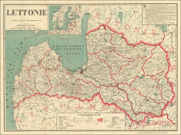
Place/Date:
Riga / 1926 circa
Size:
44.25 x 32.5 inches
Condition:
VG
Stock#:
84673
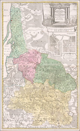
Place/Date:
Nuremberg / 1735 circa
Size:
23 x 38.5 inches
Condition:
VG+
Stock#:
59341
Homann Heirs's 1735 rare map showing the Baltic Countries.

Place/Date:
Nuremberg / 1795 circa
Size:
20.5 x 17.5 inches
Condition:
VG+
Stock#:
60050
Homann Heirs's 1795 antique map showing the Baltic Countries.

Place/Date:
London / 1720
Size:
7.5 x 7 inches
Condition:
VG
Stock#:
70498
Place/Date:
London / 1730 circa
Size:
24 x 20 inches
Condition:
Good
Stock#:
79933

Place/Date:
London / 1730 circa
Size:
38 x 24 inches
Condition:
VG
Stock#:
87788
Place/Date:
London / 1728
Size:
8 x 10.5 inches
Condition:
VG+
Stock#:
94710