
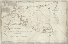
Search
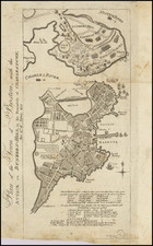
Place/Date:
Boston / 1782
Size:
6.5 x 11.5 inches
Condition:
VG
Stock#:
100539
Archived
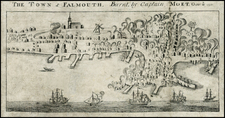
Place/Date:
Boston / 1782
Size:
11 x 5.5 inches
Condition:
VG-
Stock#:
28574
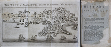
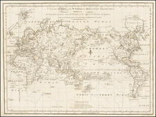
Place/Date:
Boston / 1782
Size:
11 x 5.5 inches
Condition:
VG
Stock#:
48887
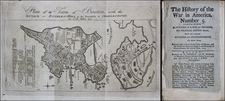
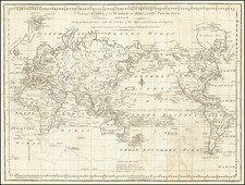
Place/Date:
Boston / 1782
Size:
11 x 6.5 inches
Condition:
VG
Stock#:
48888
Place/Date:
Boston / 1791
Size:
30.7 x 20 inches
Condition:
Good
Stock#:
71318
Place/Date:
Boston / 1794
Size:
18 x 22 inches
Condition:
VG
Stock#:
94111
Place/Date:
Boston / 1797
Size:
18 x 14 inches
Condition:
VG+
Stock#:
36509
Place/Date:
Boston / 1797
Size:
17.5 x 13 inches
Condition:
VG
Stock#:
67563
Place/Date:
Boston / 1798 circa
Size:
16 x 21 inches
Condition:
VG
Stock#:
77639
Place/Date:
Boston / 1803
Size:
44 x 32 inches
Condition:
VG
Stock#:
37435