This item has been sold, but you can enter your email address to be notified if another example becomes available.


|
||

|

|
|

|
Stock# m0296
Description
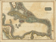
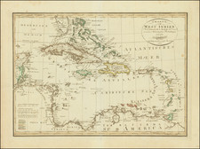
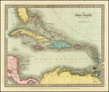
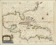
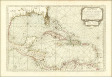
Detailed and attactive map of the southern portion of Florida and the Caribbean from the first edition of Tanner's Universal Atlas. The map shows the various European Powers possessions, including Spanish, British, French, Dutch, Danish and Swedish, along with substantial detail and other explanatory notes.