This item has been sold, but you can enter your email address to be notified if another example becomes available.


|
||

|

|
|

|
Stock# 99975
Description
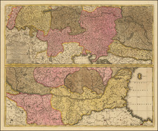
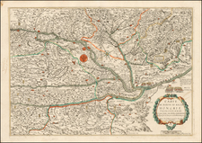
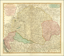
Scarce undated edition of this large map of Hungary and neighboring countries, engraved by Franz Muller in Vienna and first published in 1792.
The present example is undated and likely the 1805 state of the map. An exceptionally detailed map of the Hungary, issued during the Napoleonic Wars, the map meticulously details the roads, rivers, lakes, mountains and other geographical and man made features of the region.
The key at the top left, "Elenchus Comitatum ac Districtuum in Mappa" can be translated as "Index of Counties and Districts on the Map."
Condition Description
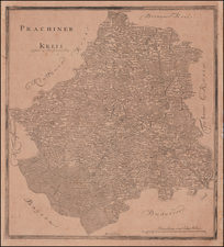
Segmented and laid on 4 sheets of linen. Upper left panels detached. Otherwise, minor soiling.
Reference
Szántai, Artaria 4d. - See Dörflinger I, 299 (Art 27), and II, 357.
![(Hungarian Military Games) Szegvar | A Felek Helyzete és . . . [Szegvar | Positions of the Armies. .]](https://storage.googleapis.com/raremaps/img/small/89265.jpg)
![[ Central Hungary]](https://storage.googleapis.com/raremaps/img/small/103268.jpg)