|
||

|

|
|

|
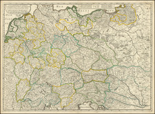
This German postcard map, produced during the interwar period, serves as a propagandistic depiction of the troop concentrations along the contentious German-Czechoslovakian border. It offers a visual representation of the militarized landscape following the Treaty of Versailles, with an emphasis on the politically sensitive Sudetenland region.
The map is emblematic of the period's intense nationalistic fervor and the German perspective on territorial claims and ethnic German populations beyond its borders. It illustrates the dissemination of state narratives through cartography, capturing the volatile political climate of the 1920s and 1930s. This era was marked by the reconfiguration of European borders, and the Sudetenland became a symbol of disputed sovereignty and national self-determination, eventually leading to the Munich Agreement.
The graphical representation of military units along the border is a striking feature of this document, reflecting the interwar German emphasis on military preparedness and strength. Such visual articulations played a role in shaping public opinion and justifying the claims of the German state to broader territorial concessions. They highlight the strategic significance attributed to these areas by the German government and serve as a form of cartographic persuasion for both domestic and international audiences.
![(Second World War - The Eastern Front) [Hungarian Air Navigation Map of Ukraine]](https://storage.googleapis.com/raremaps/img/small/90095.jpg)