|
||

|

|
|

|
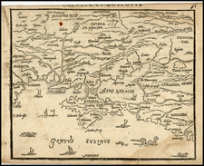
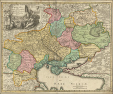
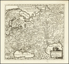
Unusual and very interesting set of Hungarian road maps of Ukraine, annotated in a contemporary hand to show a route taken to the Eastern Front near Poltava, departing from Poland.
The journey took place between the September 1941 attack on and capture of Poltava by German troops and the September 1943 recapture of the city by the Soviets. The route taken to arrive there is shown as a straight-line trajectory with a few way stops. As it follows no major roads or transit corridors, we conclude that this was an aerial journey.
The journey may have been undertaken either by an administration official who visited several important towns and villages throughout the Reichskommissariat Ukraine, or it may have been a military journey to the frontlines. Poltava was an important air base for the Germans and, later, for American bombers as part of Operation Frantic, which sought to open up the eastern front to more consistent American bombing.
![[Ukraine, Russia] Asiae II Tab:](https://storage.googleapis.com/raremaps/img/small/89178.jpg)