


|
||

|

|
|

|
Scarce plan of Belgrade, published in Belgrade in 1940.
The map offers a detailed portrayal of Belgrade’s urban landscape immediately prior to the outbreak of World War II. This map was based on the latest municipal data and firsthand fieldwork, reflecting the city's administrative efforts to document its geography accurately.
In the first half of the 20th century, Belgrade experienced significant changes. The aftermath of World War I saw it assuming the role of capital in the newly formed Kingdom of Serbs, Croats, and Slovenes, and the city’s strategic geographical position continued to be of both political and military significance. By 1940, Belgrade was a bustling metropolis, on the cusp of modernity, yet still deeply rooted in its historical identity.
The map features color-coded sections that likely correspond to various urban zones and districts, including both the city center and outlying neighborhoods. It depicts the city's extensive network of streets, key buildings, and the confluence of the Sava and Danube rivers—a topographical feature that has defined Belgrade's history.
In addition to its geographic detail, the map includes inset text columns, presumably providing context or explanations for certain features, which would have been valuable for both residents and visitors navigating the city at the time.
The timing of the map’s creation is critical, as it represents Belgrade just before the significant destruction it would suffer during World War II, which would necessitate extensive post-war reconstruction. As such, it is an important document for historians and those interested in urban development, providing a record of the city's pre-war state.
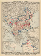
![[ Greece, Bulgaria, Albania, Macedonia, Serbia & Turkey ] Tabula Europae IX](https://storage.googleapis.com/raremaps/img/small/74916.jpg)
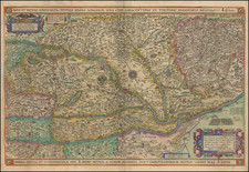
![[Poland, Croatia, Slovenia, Hungary, Serbia, Romania, Ukraine, Bulgaria] (La discrittione della Transylvania et parte del l'Ungaria, et il simil della Romania)](https://storage.googleapis.com/raremaps/img/small/59225.jpg)
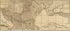
![[ Albania & Montenegro ] Die Noerdliche Theil des Koenigreichs Albanien mid dem Distrikte Montenegro Nro. 21](https://storage.googleapis.com/raremaps/img/small/102217.jpg)