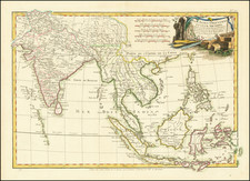
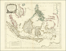
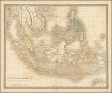
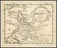
|
||

|

|
|

|
This map of the Philippines, prepared by the Army Map Service in Washington, D.C. in 1944, and reissued in August 1952, presents a detailed large-format mapping of the archipelago. This polyconic projection map displays the geography and altitude tints of the islands, covering the entire region from the Batanes group in the north to the Tawi-Tawi islands in the south, with Manila distinctly marked.
In the 1940s, the Philippines faced significant geopolitical changes. During World War II, the islands experienced occupation by the Japanese Empire, as alluded to by the marking of the "Japanese Empire" over the northernmost islands on this map.
The map's legend provides a comprehensive breakdown of various geographical features, ranging from main roads to railroads and from marshlands to mining areas. These features held strategic importance, particularly during wartime. For example, the locations of railroads and electric lines were critical for controlling transportation and communication. The altitude tints, which denote varying elevations across the islands, would have been essential for military planning.
The inclusion of an index to boundaries and the clear delineation of provinces reflects the administrative divisions of the Philippines at that time. The map captures the division of the archipelago into provinces, some of which have since changed in name or structure. Thus, this map serves as both a geographic and historical record of the Philippines during a specific period.
![[Philippine Islands] East India Archipelago [Eastern Passage to China and Japan] [Chart No. 6] . . . 1878](https://storage.googleapis.com/raremaps/img/small/64039.jpg)