
This item has been sold, but you can enter your email address to be notified if another example becomes available.


|
||

|

|
|

|
Stock# 82803
Description
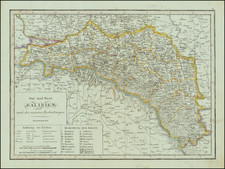
Rare and very interesting map of Central Europe, showing the region around Hungary and Romania. Published in Vienna in 1786, this map includes two insets, with one view of Belgrade and one plan of Belgrade.
The map extends in the northeast to Ukraine and Crimea, which is labeled "Nouvelle Russie" (New Russia) in the south and "Russie" in the north. Very interestingly, numerous battle sites are shown throughout, which show the growth and contraction of the Ottoman Empire. A small annotation updates the borders near Orsava to 1791.
The plate is signed "B.F. 1788", however, we have been unable to identify the maker.
Condition Description
Original hand-color in outline. Nice wide margins. Minor toning and soiling around edges.
![[ Earliest Obtainable Map of Russia, Ukraine, and the Caucauses ] Secunda Asiae Tabula](https://storage.googleapis.com/raremaps/img/small/82673.jpg)
![[ Western Bulgaria ] Des Königreichs Bulgarien Westliche Haelfte Nro. 15](https://storage.googleapis.com/raremaps/img/small/102185.jpg)