|
||

|

|
|

|
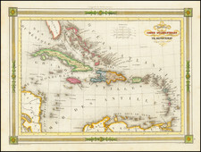
Stock# 81468
Description
Detailed map of the whole of the West Indies, colored by territorial possession, with a table showing sizes and populations of the various islands.
The Society for the Diffusion of Useful Knowledge was active from the 1830s through the 1860s and published some of the best regional maps of the era.