


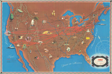
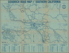
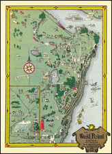
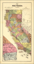
|
||

|

|
|

|
Decorative bird's-eye map of Los Angeles, published in 1932 by Metropolitan Surveys and designed by K.M. Leuschner.
The view was likely prepared for the 1932 Summer Olympics, as Olympic Village (Inglewood), Olympic Stadium (near USC), Olympic Auditorium and the Olympic Rowing Course are shown.
A number of Los Angeles's most famous landmarks are shown, including Santa Monica Pier, Ocean Park Amusement Pier, Venice Pier, Sunset Pier, UCLA, Fox Studios at Westwood Hills, the Hollywood Bowl, Brown Derby Cafe, Beaux Arts Building, Long Beach Breakers Hotel, USC, Belmont Shores, the Rose Bowl, etc. The homes of 17 early movie stars are also shown.
One of the more fascinating elements of the map is the pride with which the many oil fields around Los Angeles are displayed, along with the manufacturing plants, including Goodyear Rubber, Firestone Rubber, Willys Overland, US Rubber, and the Chrysler plant. Closer to Long Beach and Wilmington, the Ford Factory and Union Oil Refining are shown, with Standard Oil occupying the land between Manchester and Redondo Blvd and Mine's Field (now LAX) to the east.
This is certainly one of the best LA pictorial maps.
![(West Hollywood) Tract No. 2508. Spaulding Square, West Hollywood [bounded by Sunset Blvd in the north; Fountain Ave. in the south; Orange Grove in the west; and Spaulding in the east]](https://storage.googleapis.com/raremaps/img/small/97566.jpg)
![[Charles Lindbergh - 1st Trans-Atlantic Flight - Printed on Linen]](https://storage.googleapis.com/raremaps/img/small/69233.jpg)