This item has been sold, but you can enter your email address to be notified if another example becomes available.


|
||

|

|
|

|
Stock# 6931
Description
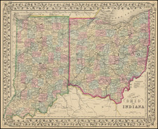
Attractive regional map of Indian Territory, Kansas, Missouri, Arkansas and Illinois, colored by counteis and showing substantial additional detail. The Western counties of Kansas are largely incomplete. Shows towns, rivers, lakes, roads, railroads, Indians, forts, etc. Indian Territory is divided into 4 aresas fo the Cherokees, Creeks, and two unnamed regions. Lots of good Indian and historical detail in Indian Territory and continguous parts of Texas.
![Map of the Missouri Pacific and St. Louis, Iron Mountain and Southern Railway and Connections [Missouri Pacific Railway. St. Louis & All Points East Chair Cars Free Fast Mail Route]](https://storage.googleapis.com/raremaps/img/small/91606.jpg)

![Mapa et tierra q[u]e yos pedro Vial taigo transitau en St. Tafee este dia 18 de Octubre de La ao 1787](https://storage.googleapis.com/raremaps/img/small/3645.jpg)