


|
||

|

|
|

|
A very attractive example from this famous and much soughtafter map, with an inset view of the Dutch colony on Manhattan Island, the second published view of New York, after Hartgers view of 1651. The cartographic information is based upon Jansson's map of 1650. In 1655, Visscher utilized Jansson's map, with its vignettes of animals and Indian life, and added this now famous view of New Amsterdam, showing the Battery and Dutch buildings on the waterfront. An extensive study of the map by Stokes suggests that the view was drawn sometime between 1653 and 1655, prior to the construction of New York's wall. The first two editions of the map (1655-56) are impossibly rare and known in only a handful of copies, one of which was used to illustrate the boundary dispute between William Penn and Lord Baltimore. The third edition was issued in 1684 and shows Philadelphia for the first time. This example is the fourth edition, with the added priviledge language, which was also issued in 1684. An essential collector's map. Burden 315. Tooley p.285. Augustyn & Cohen, Manhattan In Maps, p.32-33. A bit of remargining in the lower right corner, just touching the printed image.
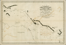

![[Cape Cod area / Nantucket / Martha's Vineyard / Boston Bay]. (Revolutionary War Era Manuscript Sea Chart)](https://storage.googleapis.com/raremaps/img/small/69611.jpg)
