This item has been sold, but you can enter your email address to be notified if another example becomes available.


|
||

|

|
|

|
Stock# 56915
Description
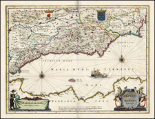
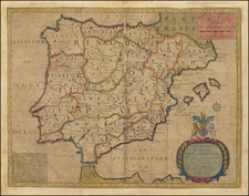
Fine chart of the Balearic Islands and the contingous coast of Catalonia and Valencia, which appeared in Volume 1 of Coronelli's Corso Geographico, published in Venice.
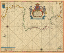
The sea chart was ssued in 1663 by Francesco Maria Levanto in his Prima Parte dello Specchio del Mare, nel quale si Descrivono Tutti li Porti, Spiaggie, Baye, Isole, Scogli, e Seccagni del Mediterraneo.