This item has been sold, but you can enter your email address to be notified if another example becomes available.


|
||

|

|
|

|
Stock# 38518
Description
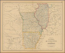
Remarkable large format map of Michigan, hand colored by county.
Shows towns, roads, rivers, lakes, mountains, forts, railroad lines, etc. The railroad lines with each station are identified.
One of the best large format maps of the period, from a scarce late edition of Colton's atlas.
Condition Description
Some foxing and staining in the centerfold.