
This item has been sold, but you can enter your email address to be notified if another example becomes available.


|
||

|

|
|

|
Stock# 103487
Description
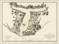
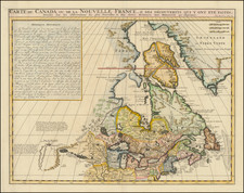
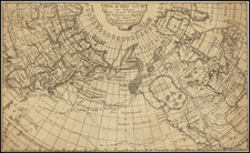
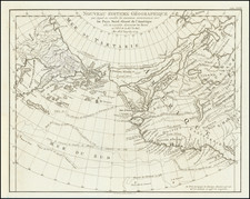
Scarce rare map of Alaska (America Russa) and the contiguous parts of Canada and the US, extending to the Upper Missouri River and the Fraser River.
The map is one of the earliest printed maps to focus on the region which would become Alaska and includes an ornate fine engraving style, characteristic of Italian maps of the period.
Includes a number of early placenames and nice detail, especially in the Arctic Sea, which is named Mar Gelato Artico. From Marmocchi's Geografia Commerciale. The first example of the map we have ever seen.
Condition Description
Engraving on 19th-century wove paper. Original hand-color in outline.
![[ State of Lincoln! ] British Columbia and the North West Territory](https://storage.googleapis.com/raremaps/img/small/60518.jpg)
![[ Anchorage in the Future ] Anchorage and the Cook Inlet Basin - Captain Cook Returns 2035 A.D.](https://storage.googleapis.com/raremaps/img/small/78278.jpg)