|
||

|

|
|

|
Stock# 103136
Description
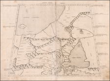
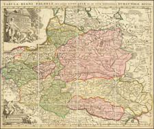
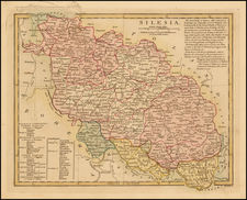
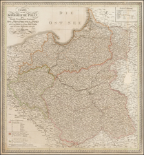
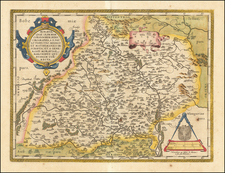
Very scarce regional map of Poland, centered on Warsaw and the confluence of the Weischel and Bug Rivers, and extending to Ortelsburg, Bielsk Tykoczyn, Wilsnia, Kozyeniee, Rawa, Wierzbie, Thorn, Culm etc.
Shows rivers, roads, towns, castles, forests, lakes and a host of other details. Quite possibly the most detailed map of this region to appear in an 18th Century Atlas.
Condition Description
18th-century laid paper. Original hand-color. Minor toning at centerfold. Minor spotting in blank borders, not affecting map image.