|
||

|

|
|

|
Modern Israel's Largest Extent - Signed by One of Its Key Architects.
This map, titled "Israel Cease Fire Lines, June 1967," printed in 1968 by CARTA Jerusalem, represents the cease-fire lines established after the Six-Day War in June 1967, and thus the most expansive territory held by the modern state of Israel. The map details the boundaries, towns, villages, historical sites, roads, railways, harbors, and airfields.
In 1967, the Middle East underwent significant transformations, including Israel's swift and determined military campaign, resulting in the occupation of key territories such as the West Bank, Gaza Strip, Sinai Peninsula, and Golan Heights. This map serves as a clear reflection of the cease-fire agreements that emerged in the aftermath of the war, outlining the boundaries of these contested areas.
Signed by Moshe Dayan
Notably, this map holds the handwritten signature of Moshe Dayan, a prominent figure in Israeli history. As the Chief of Staff of the Israel Defense Forces during the Six-Day War and later as Minister of Defense, Dayan played a pivotal role in these historic events. His signature adds a unique historical dimension to this map, connecting it directly to a key leader who significantly shaped the course of Israel's history.
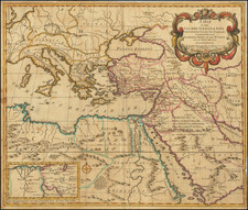
![Turcia Turci Cive Imperii seu Solij mannorum regni pleraque pars nunc recens Summa fide ac indusrai elucubrata | Natoliam Moderni dicunt tam partem quam Asiam minrem appelauere veteres. [shows Cyprus]](https://storage.googleapis.com/raremaps/img/small/86757.jpg)
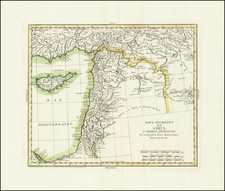
![Suite de la Genealogie ou Chronologie des Rois Patriarches et Prophetes du troisieme Periode du Monde. [Cyprus]](https://storage.googleapis.com/raremaps/img/small/91749.jpg)