
Search
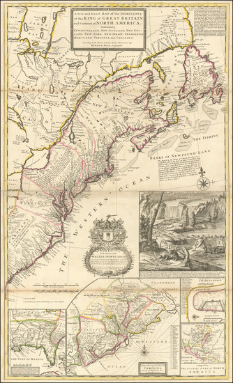
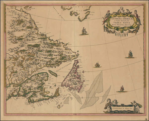
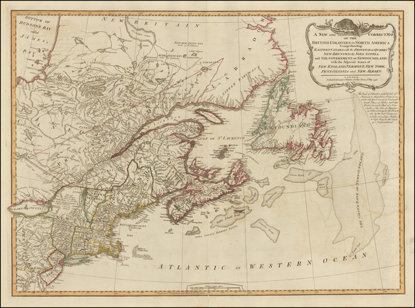
Place/Date:
London / 1733
Size:
24.5 x 40.5 inches
Condition:
VG+
Stock#:
101277
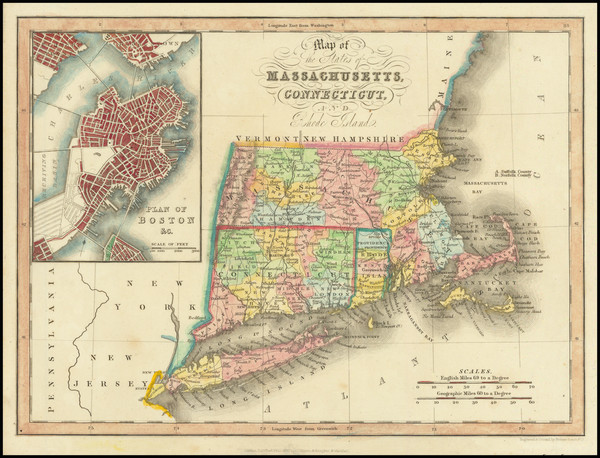
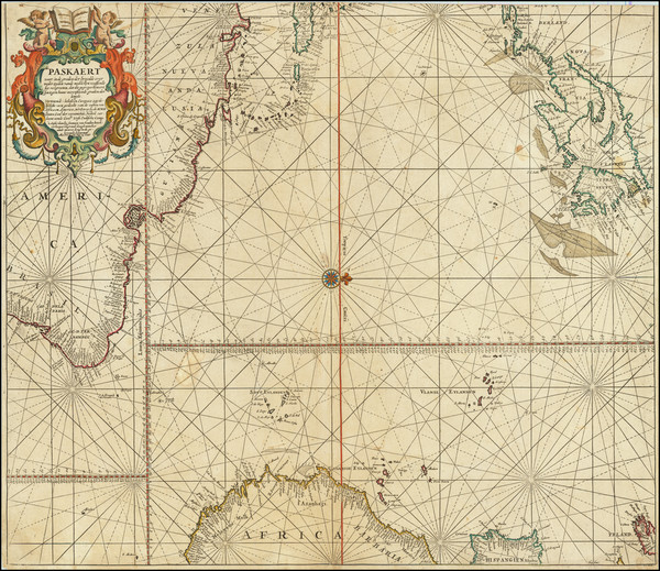
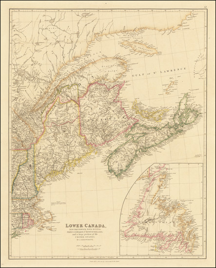
Place/Date:
London / 1832
Size:
10 x 7.5 inches
Condition:
VG
Stock#:
91825
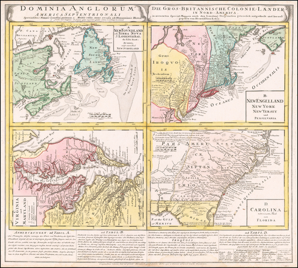
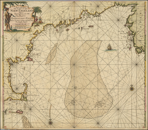
Place/Date:
Nuremberg / 1745
Size:
22 x 19 inches
Condition:
VG+
Stock#:
60331
Homann Heirs's 1745 original map showing New England.
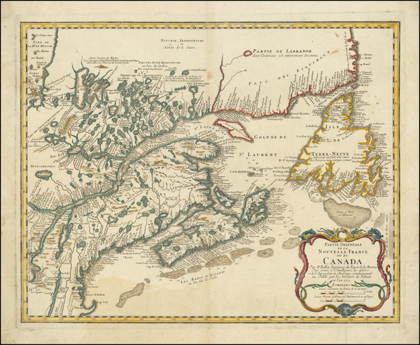
Place/Date:
Nuremberg / 1755
Size:
21.5 x 17 inches
Condition:
VG
Stock#:
93412
Place/Date:
Nuremberg / 1778
Size:
22 x 28 inches
Condition:
VG
Stock#:
103550
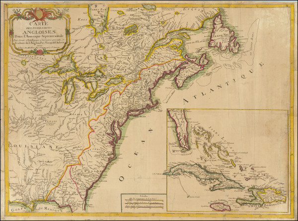
Place/Date:
Paris / 1778
Size:
20.5 x 27.5 inches
Condition:
Good
Stock#:
86775
Place/Date:
Paris / 1777
Size:
31.5 x 20.5 inches
Condition:
VG
Stock#:
103484
Place/Date:
Paris / 1778
Size:
30 x 20.5 inches
Condition:
VG
Stock#:
103467
Place/Date:
Paris / 1757
Size:
35 x 21.5 inches
Condition:
VG+
Stock#:
80006
Place/Date:
Paris / 1764
Size:
10.5 x 7 inches
Condition:
VG+
Stock#:
78853
Place/Date:
Leipzig / 1756
Size:
22 x 16 inches
Condition:
VG
Stock#:
91082
Place/Date:
Paris / 1773
Size:
12 x 8 inches
Condition:
VG+
Stock#:
99743
Place/Date:
Paris / 1764 circa
Size:
19 x 26 inches
Condition:
VG-
Stock#:
53336jc
Antique map showing New England by Bellin & Lattré made in 1764.

Place/Date:
Amsterdam / 1651 (1660 ca)
Size:
20.5 x 17.5 inches
Condition:
VG
Stock#:
66922
Jansson's 1651 antique map showing New England.
Place/Date:
Amsterdam / 1637
Size:
20 x 15.5 inches
Condition:
VG
Stock#:
91920
Place/Date:
Paris / 1777
Size:
24.5 x 17 inches
Condition:
VG
Stock#:
95721
Place/Date:
Paris / 1756
Size:
13.5 x 11 inches ( Whole Sheet)
Condition:
VG
Stock#:
52293op
Gautier d'Agoty's 1756 antique map showing New England.
Place/Date:
Antwerp / 1625
Size:
14 x 11 inches
Condition:
VG+
Stock#:
91528
Place/Date:
Nuremberg / 1703
Size:
22 x 19 inches
Condition:
VG
Stock#:
78398
Place/Date:
Nurmberg / 1716
Size:
22.5 x 19 inches
Condition:
VG
Stock#:
100105
Place/Date:
Amsterdam / 1737
Size:
20.5 x 22 inches
Condition:
Good
Stock#:
64717
Place/Date:
Amsterdam / 1690 circa
Size:
22 x 17.5 inches
Condition:
VG
Stock#:
91579
Rare map showing New England by Covens & Mortier made in 1690.

Place/Date:
Amsterdam / 1702
Size:
23 x 20.5 inches
Condition:
VG
Stock#:
33948mb
Early Sea Chart of Manhattan, Long Island, Nantucket, Martha's Vineyard, Block Island, Hudson River, New England
Place/Date:
Amsterdam / 1680
Size:
23.5 x 20 inches
Condition:
VG
Stock#:
79385
Place/Date:
Amsterdam / 1680
Size:
23.5 x 20 inches
Condition:
Fair
Stock#:
94147
Place/Date:
Amsterdam / 1695 circa
Size:
23 x 20 inches
Condition:
VG+
Stock#:
94453
Van Keulen's 1695 antique map showing New England.
Place/Date:
London / 1842
Size:
20 x 24 inches
Condition:
VG+
Stock#:
67122
Place/Date:
New York / 1855
Size:
26 x 33.5 inches
Condition:
VG
Stock#:
0088bm
Rare map showing New England by Bachelder, 1855.
Place/Date:
London / 1795
Size:
12 x 8.5 inches
Condition:
VG+
Stock#:
89227

Place/Date:
London / 1792
Size:
2.5 x 3.75 inches
Condition:
VG+
Stock#:
98227

Place/Date:
Sweden / 1816
Size:
20.5 x 15 inches
Condition:
VG+
Stock#:
64709
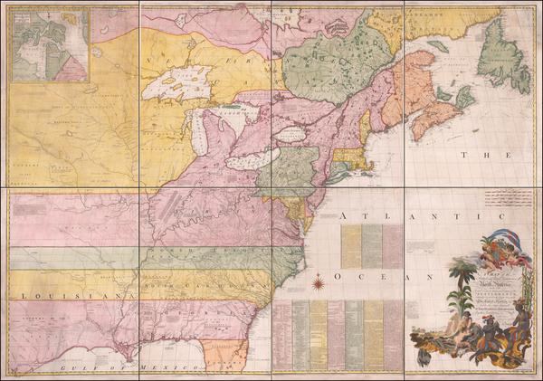
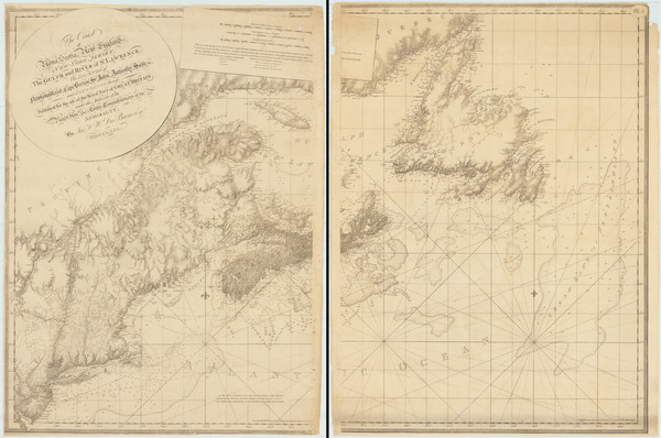
Place/Date:
London / 1755 - 1757
Size:
76 x 53 inches If Joined
Condition:
Good
Stock#:
60574dg
Mitchell's 1755 antique map showing New England.
Place/Date:
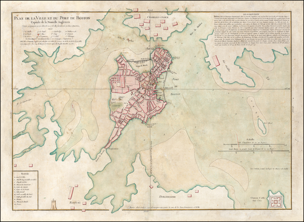
Boston / 1782
Size:
6.5 x 11.5 inches
Condition:
VG
Stock#:
100539

Place/Date:
London / 1818
Size:
28 x 20 inches
Condition:
VG
Stock#:
46588
Pinkerton's 1818 original map showing New England.
Place/Date:
London / 1674 circa
Size:
21.5 x 16.5 inches
Condition:
VG+
Stock#:
69704mb
Place/Date:
London / 1674
Size:
21 x 17 inches
Condition:
VG
Stock#:
80520
Place/Date:
London / 1719
Size:
23.5 x 20 inches
Condition:
VG
Stock#:
74465
Rare map showing New England by Senex made in 1719.
Place/Date:
London / 1792
Size:
15.5 x 12.5 inches
Condition:
VG
Stock#:
99856
Place/Date:
Edinburgh / 1814
Size:
23 x 19.5 inches
Condition:
VG
Stock#:
83869
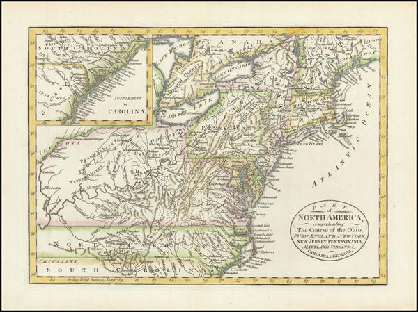
Place/Date:
New York / 1798
Size:
30 x 19.75 inches
Condition:
Good
Stock#:
91659
Place/Date:
London / 1830 circa
Size:
47 x 31.5 inches
Condition:
VG+
Stock#:
55819
Norie's 1830 rare map showing New England.
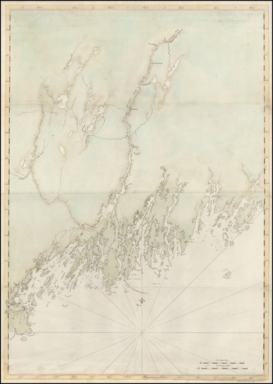
Place/Date:
London / 1776
Size:
41 x 29 inches
Condition:
VG
Stock#:
50079
Antique map showing New England by Des Barres, 1776.
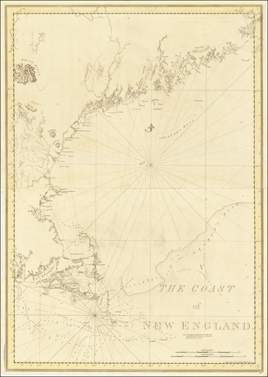
Place/Date:
London / 1776
Size:
29.5 x 41.5 inches
Condition:
VG
Stock#:
63672
1776 Antique Sea Chart of the Coast of New England
Place/Date:
London / 1780
Size:
46 x 32.3 inches (if joined)
Condition:
Good
Stock#:
69631

Place/Date:
Amsterdam / 1684 circa
Size:
21.5 x 18.5 inches
Condition:
VG
Stock#:
93874
Place/Date:
Troy, New York / 1890 circa
Size:
29.5 x 15 inches
Condition:
VG+
Stock#:
93021
1890 antique Burleigh map showing New England.
Place/Date:
London / 1794
Size:
26 x 19 inches
Condition:
VG
Stock#:
45177
Antique map showing New England by Laurie & Whittle, 1794.
Place/Date:
Paris / 1777
Size:
28.5 x 21 inches
Condition:
VG
Stock#:
89535

Place/Date:
Augsburg / 1777
Size:
22 x 28.5 inches
Condition:
VG
Stock#:
58857
Rare map showing New England by Lotter, 1777.

Place/Date:
Philadelphia / 1795
Size:
15 x 10 inches
Condition:
Good
Stock#:
98707