
Search
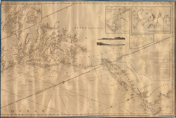
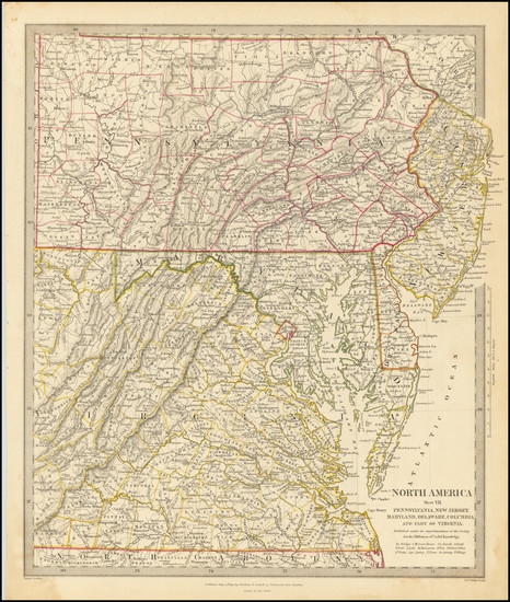
Place/Date:
London / 1830 circa
Size:
47 x 31.5 inches
Condition:
VG+
Stock#:
55819
Norie's 1830 rare map showing the Mid-Atlantic.
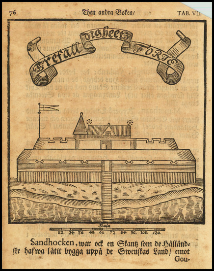
Place/Date:
Stockhol / 1702 circa
Size:
5 x 6.5 inches
Condition:
VG
Stock#:
79459
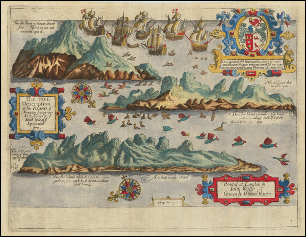
Place/Date:
London / 1598
Size:
13.5 x 10.5 inches
Condition:
VG+
Stock#:
78964
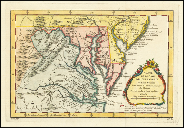
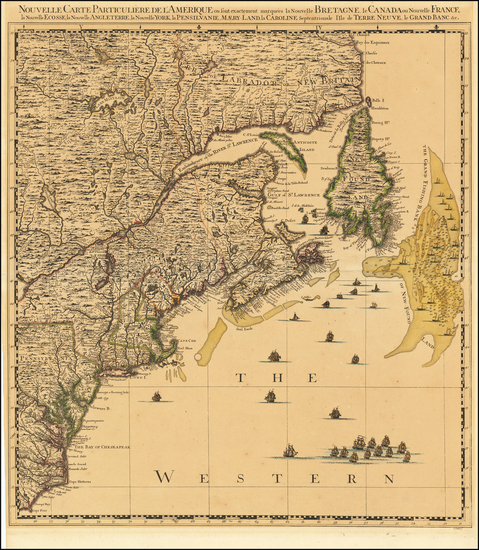
Place/Date:
Paris / 1757
Size:
11.5 x 7.5 inches
Condition:
VG+
Stock#:
76325
Bellin's 1757 rare map showing the Mid-Atlantic.
Place/Date:
London / 1844
Size:
13 x 15 inches
Condition:
VG+
Stock#:
76586
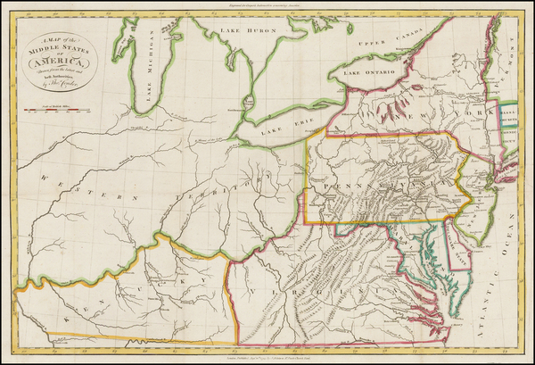
Place/Date:
Paris / 1799
Size:
20 x 13 inches
Condition:
VG
Stock#:
73326rd

Place/Date:
Washington / 1863
Size:
27 x 23.5 inches
Condition:
VG
Stock#:
47081
Original map showing the Mid-Atlantic by United States Coast Survey made in 1863.
Place/Date:
Paris / 1756
Size:
13.5 x 11 inches ( Whole Sheet)
Condition:
VG
Stock#:
52293op
Gautier d'Agoty's 1756 antique map showing the Mid-Atlantic.
Place/Date:
Amsterdam / 1737
Size:
20.5 x 22 inches
Condition:
Good
Stock#:
64717

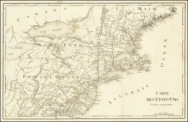
Place/Date:
Sweden / 1816
Size:
20.5 x 15 inches
Condition:
VG+
Stock#:
64709
Place/Date:
London / 1794
Size:
18 x 12 inches
Condition:
VG
Stock#:
47362
Conder's 1794 rare map showing the Mid-Atlantic.

Place/Date:
Washington, DC / 1871 circa
Size:
28.5 x 8 inches
Condition:
VG
Stock#:
38475mb
U.S. Army Corps of Engineers's 1871 antique map showing the Mid-Atlantic.