
Search
Place/Date:
Brussels / 1825
Size:
22 x 18.5 inches
Condition:
VG
Stock#:
96886
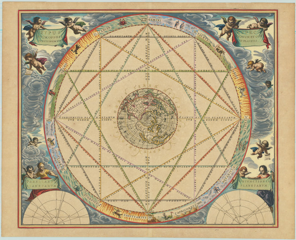
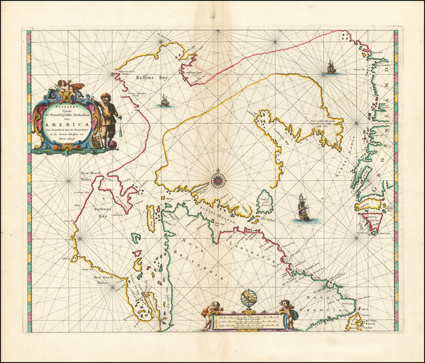
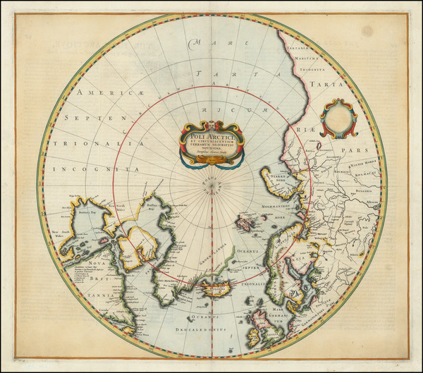
Place/Date:
Amsterdam / 1661
Size:
20.5 x 17 inches
Condition:
VG+
Stock#:
81866
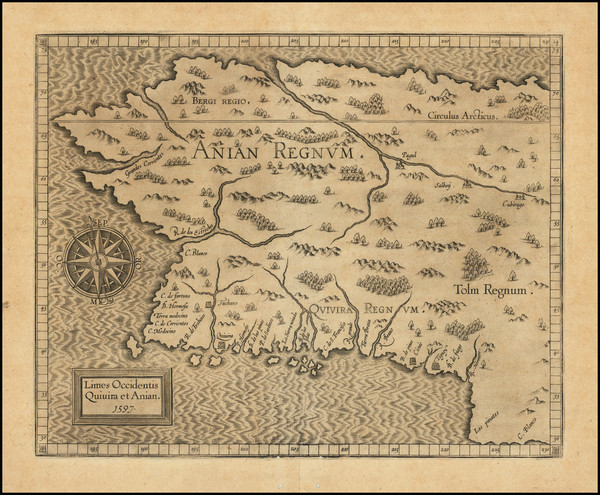
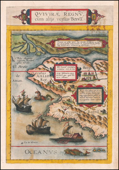
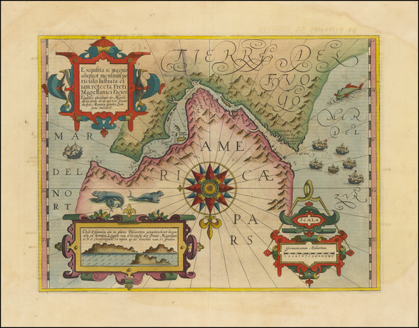
Place/Date:
Louvain / 1597
Size:
11.5 x 9 inches
Condition:
VG
Stock#:
71207
1597 antique Wytfliet map showing Antique Polar Maps.

Place/Date:
n.p. / 1835 circa
Size:
16.5 x 11 inches
Condition:
VG
Stock#:
74238
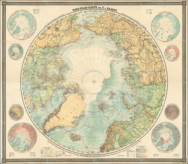
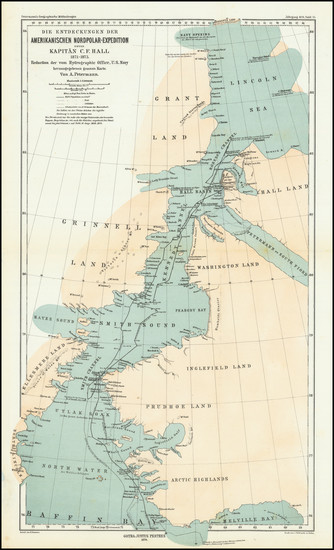
Place/Date:
Vienna / 1898
Size:
67.75 x 59.75 inches
Condition:
VG+
Stock#:
101311
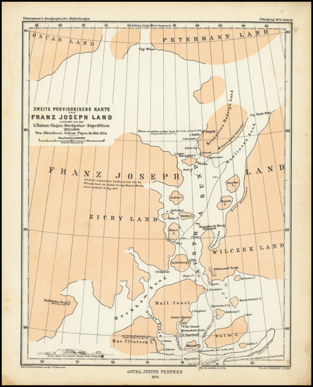
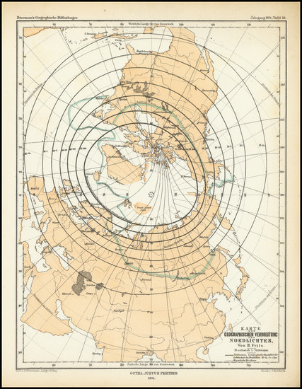
Place/Date:
Gotha / 1874
Size:
7.5 x 9.75 inches
Condition:
VG
Stock#:
98480
Place/Date:
London / 1828
Size:
17 x 14 inches
Condition:
VG
Stock#:
99372
Place/Date:
Edinburgh / 1856
Size:
15 x 21.8 inches
Condition:
VG+
Stock#:
97283
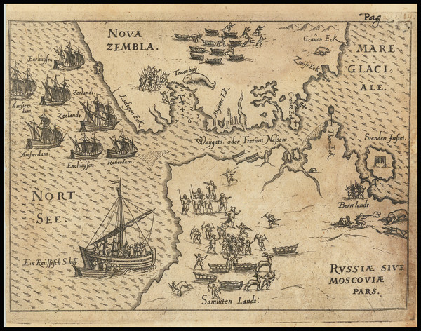
Place/Date:
Frankfurt / 1628
Size:
11.5 x 11.5 inches
Condition:
VG
Stock#:
54229sh
Angelocrator's 1628 original map showing Antique Polar Maps.
Place/Date:
Brussels / 1827
Size:
22.5 x 19 inches
Condition:
VG+
Stock#:
88403
Place/Date:
Boston / 1937
Size:
6 x 8 inches
Condition:
VG
Stock#:
94002
Place/Date:
Gotha / 1880
Size:
7.25 x 9.75 inches
Condition:
VG+
Stock#:
98476
Place/Date:
Edinburgh / 1905
Size:
16 x 13.25 inches
Condition:
VG+
Stock#:
95316
Place/Date:
Amsterdam / 1630
Size:
19.5 x 15 inches
Condition:
VG
Stock#:
99612
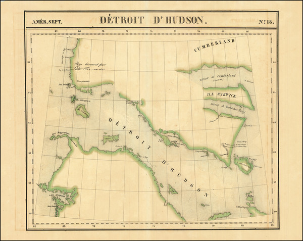
Place/Date:
Brussels / 1825
Size:
20 x 18 inches
Condition:
VG+
Stock#:
1795RB
Vandermaelen's 1825 antique map showing Antique Polar Maps.
Place/Date:
Brussels / 1825
Size:
23 x 19.5 inches
Condition:
VG+
Stock#:
87865
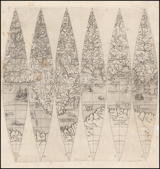
Place/Date:
Rome / 1550
Size:
21 x 13.5 inches
Condition:
VG+
Stock#:
81713
Place/Date:
London / 1909
Size:
15.5 x 15.5 inches
Condition:
VG+
Stock#:
99613
Place/Date:
Baltimore / 1933
Size:
16 x 12 inches
Condition:
Good
Stock#:
89439
Place/Date:
Gotha / 1874
Size:
7.5 x 9.75 inches
Condition:
VG+
Stock#:
98483
Place/Date:
Antwerp / 1593
Size:
8.5 x 14 inches
Condition:
VG
Stock#:
60083
de Jode's 1593 original map showing Antique Polar Maps.
Place/Date:
Gotha / 1874
Size:
10 x 17.5 inches
Condition:
VG+
Stock#:
98478
Place/Date:
New York / 1856
Size:
15 x 10 inches
Condition:
Good
Stock#:
101874
Place/Date:
Strasbourg / 1600 circa
Size:
10.5 x 10.5 inches
Condition:
VG
Stock#:
54480
Oterschaden's 1600 original map showing Antique Polar Maps.
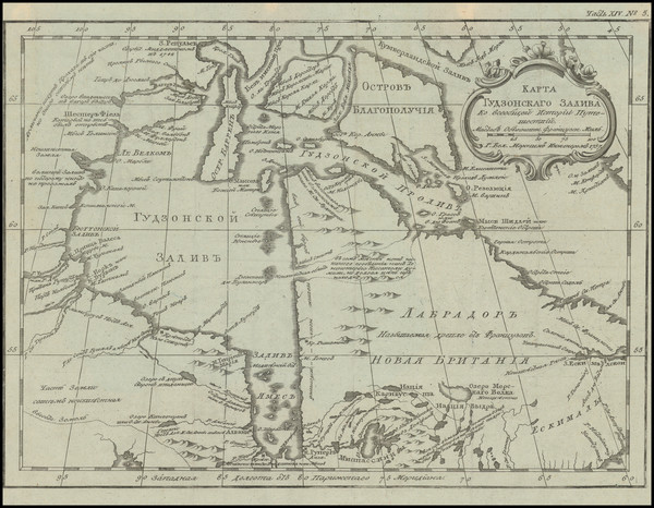
Place/Date:
St. Petersburg / 1760
Size:
12 x 9 inches
Condition:
VG+
Stock#:
100628
Place/Date:
Venice / 1690 circa
Size:
12 x 9 inches
Condition:
VG+
Stock#:
99105
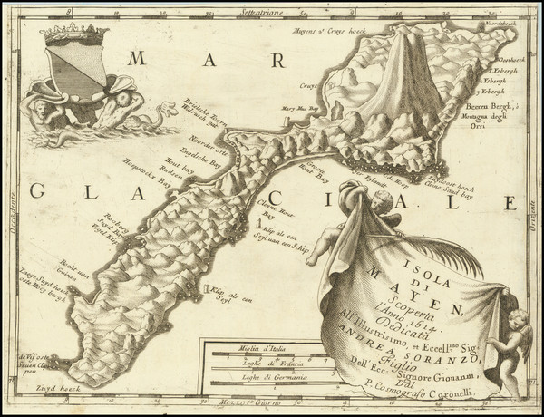
Original map showing Antique Polar Maps by Coronelli made in 1690.
Place/Date:
Berlin / 1791
Size:
25 x 19 inches
Condition:
VG
Stock#:
41816dm
Forster's 1791 antique map showing Antique Polar Maps.
Place/Date:
Paris / 1683
Size:
11.75 x 7 inches
Condition:
VG
Stock#:
100688
Place/Date:
London / 1794
Size:
23.5 x 23.5 inches (each sheet)
Condition:
Good
Stock#:
99920
Place/Date:
Weimar / 1804
Size:
26.5 x 20 inches
Condition:
VG+
Stock#:
80463
Place/Date:
Genoa / 1858
Size:
13 x 10.5 inches
Condition:
VG
Stock#:
65899

Place/Date:
Antwerp / 1606
Size:
20 x 13.5 inches
Condition:
VG+
Stock#:
71000
Original map showing Antique Polar Maps by Ortelius made in 1606.
Place/Date:
London / 1959
Size:
22 x 18 inches
Condition:
VG+
Stock#:
79033
Place/Date:
Paris / 1673 circa
Size:
11 x 15.5 inches (including text)
Condition:
VG+
Stock#:
79606
Place/Date:
Amsterdam / 1666
Size:
21.5 x 18 inches
Condition:
VG
Stock#:
93148
Place/Date:
Amsterdam / 1610 circa
Size:
18.5 x 14 inches
Condition:
VG+
Stock#:
94451
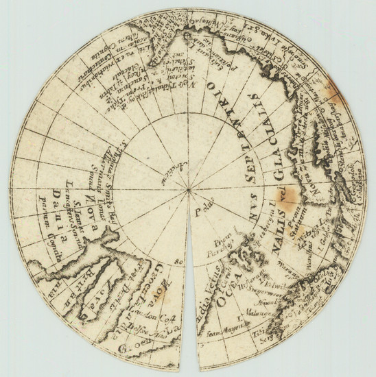
Place/Date:
n.p. (Netherlands?) / 1665 circa
Size:
3.25 x 3.25 inches
Condition:
VG
Stock#:
70704
Place/Date:
Frankfurt / 1604 circa
Size:
6 x 4 inches
Condition:
VG
Stock#:
75007

Place/Date:
Nuremberg / 1800 circa
Size:
8.5 x 8.5 inches
Condition:
VG+
Stock#:
46375
Antique map showing Antique Polar Maps by Klinger made in 1800.
Place/Date:
Amsterdam / 1636 circa
Size:
19.5 x 17 inches
Condition:
VG
Stock#:
93127
Place/Date:
Stockholm / 1957
Size:
25.5 x 18 inches Including text
Condition:
VG
Stock#:
71578
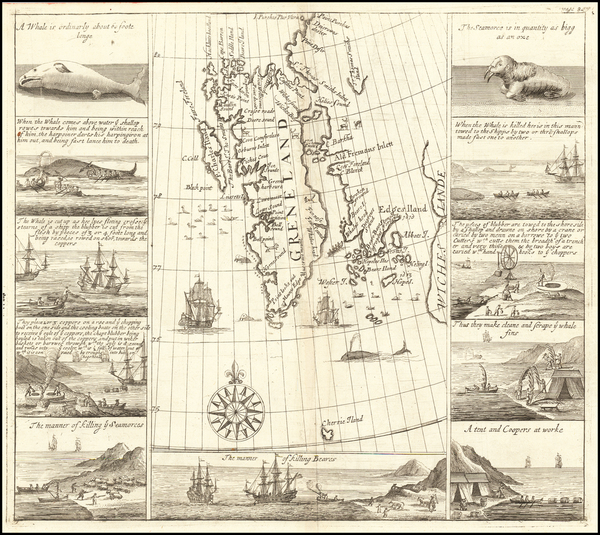
Place/Date:
London / 1704
Size:
12.5 x 11.5 inches
Condition:
VG
Stock#:
61990

Place/Date:
Amsterdam / 1661
Size:
20.5 x 17 inches
Condition:
VG
Stock#:
78919
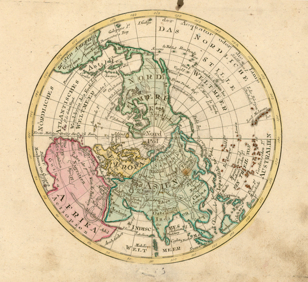
Place/Date:
Augsburg / 1787
Size:
9 x 7.5 inches
Condition:
VG
Stock#:
18651
1787 original Walch map showing Antique Polar Maps.

Place/Date:
Venice / 1689
Size:
10 x 15 inches
Condition:
VG+
Stock#:
78472
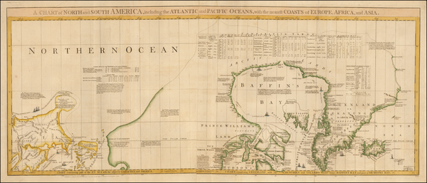
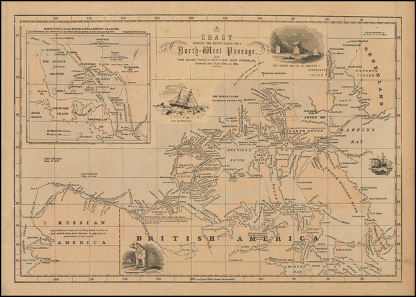
Place/Date:
London / 1775
Size:
19 x 44 inches
Condition:
VG
Stock#:
0002dg
1775 rare Sayer & Bennett map showing Antique Polar Maps.

Place/Date:
London / 1775
Size:
27.5 x 20.5 inches
Condition:
VG
Stock#:
96126
Place/Date:
Philidelphia / 1814
Size:
10 x 10 inches
Condition:
VG
Stock#:
104328
Antique map showing Antique Polar Maps by Carey made in 1814.
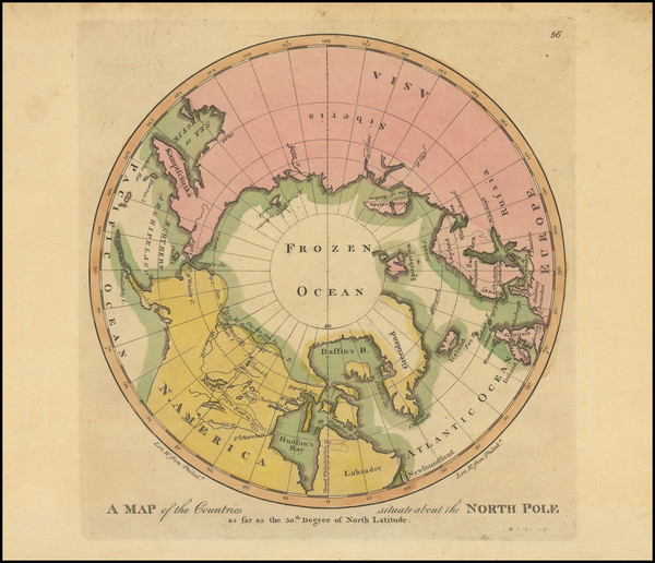
Place/Date:
London / 1808
Size:
14 x 14 inches
Condition:
VG
Stock#:
79051

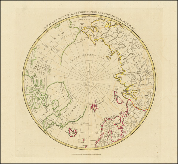
Place/Date:
Philadelphia / 1814
Size:
11 x 8 inches
Condition:
VG
Stock#:
89052